Bald Head Island Lighthouse · National Register of Historic Places
Bald Head Island’s story
41 years in pictures
3 places on the National Register of Historic Places.
- 1985Bald Head Island is settled
Each edition grades its towns against each other only.

42% of the land in Bald Head Island is conserved, above both North Carolina’s towns (3.4%) and U.S. towns (4.3%). Bald Head Island has 3 places on the National Register of Historic Places, among them Bald Head Island Lighthouse and Cape Fear Lighthouse Complex. Bald Head Island has fewer than 1,000 residents, too few for fair grades; the figures below are still real.
Where Bald Head Island beats most towns.
Coastal flooding makes up 9% of the storm damage FEMA expects here.
FEMA National Risk Index · OpenFEMA · OpenStreetMap
3 places on the National Register of Historic Places.
Who provides power, water and the rest in Bald Head Island, and how to reach them.
EPA SDWIS (Oct 9, 2026) · HIFLD + EIA-861 2025 · Census 2020 ZCTAs · NCES 2024–25 · registration: vote.gov, updated Nov 18, 2024.
Ordered by what stands out in Bald Head Island.
Homes sold in Bald Head Island spent a median 61 days on the market. The typical Bald Head Island home is worth about $1,438,000, up 4% in a year, 4 times the North Carolina typical home.
Census ACS, 2020–24 · Zillow Home Value Index · Redfin Data Center
For Bald Head Island, the average commute is 29 minutes. 6.8% of Bald Head Island residents live below the poverty line, below both the North Carolina town median (13%) and the median of U.S. towns (9.6%). The share of working residents in Bald Head Island who work locally: 26%. Jobs here fell by 34 from 2013 to 2023, to 545.
| Bald Head Island | North Carolina towns | U.S. towns | |
|---|---|---|---|
| Median household income | $209,000 | $69,000 | $80,000 |
| Working residents who work in town | 26% | 6.8% | 8% |
| Average trip to work | 29 minutes | 24 minutes | 25 minutes |
| Below the poverty line | 6.8% | 13% | 9.6% |
Census LEHD 2023 · ACS
Only one of the 263 North Carolina towns we compare has a higher trail network density than Bald Head Island. 21 miles of trail in 3 parks and preserves. The biggest park or preserve is Bald Head Island Natural Area, at 1,113 acres.
| Biggest places to walk | Trails | Acres |
|---|---|---|
| 1. Bald Head Island Natural Area | 0.8 mi | 1,113 |
| 2. The Common at Cape Fear Station | — | 3 |
| 3. Marina Park | 0.1 mi | 2 |
Trails & parks © OpenStreetMap contributors · Conserved land: USGS PAD-US
Federal disaster aid has reached households in Bald Head Island after 10 declared disasters, most recently in 2024. FEMA expects more storm and flood damage here than in 97% of U.S. communities. Also worth knowing: 437 flood insurance claims have been paid here since 1985. Expected losses in Bald Head Island break down as 72% from hurricanes and 15% from inland flooding.
FEMA disaster declarations and aid · FEMA flood insurance claims · FEMA National Risk Index · OpenFEMA
July afternoons reach 89° and January nights drop to 37°.
NOAA U.S. Climate Normals, 1991–2020
12% of Bald Head Island adults report frequent physical distress. This North Carolina town beats the North Carolina average on 19 of 32 CDC measures and trails it on 5. In Bald Head Island, a quarter of adults feel lonely, and 88% had a checkup this year. Among 290 North Carolina towns, just 8 have a lower share of adults 18 to 64 who have no health insurance than Bald Head Island.
| Bald Head Island | North Carolina towns | U.S. towns | |
|---|---|---|---|
| Frequent mental distress (CDC PLACES) | 11% | 17% | 17% |
| Feel lonely (CDC PLACES) | 25% | 33% | 33% |
| Yearly checkup (CDC PLACES) | 88% | 80% | 79% |
| Binge drink (CDC PLACES) | 11% | 15% | 16% |
| What stands out | Bald Head Island | NC |
|---|---|---|
| Fewer adults facing housing insecurity | 4.3% | 12.2% |
| Fewer adults facing a utility shut-off | 2.9% | 8.1% |
| More adults who have had cancer | 15.4% | 7.9% |
CDC PLACES 2025 · modeled estimates for adults · CMS · HRSA
Museums, parks, gardens and other places to visit around Bald Head Island. Close and well known come first.
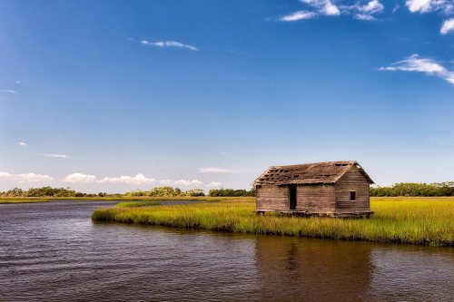
 8 mi LandmarkFort Fisher
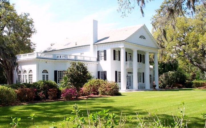 14 mi GardenOrton Plantation
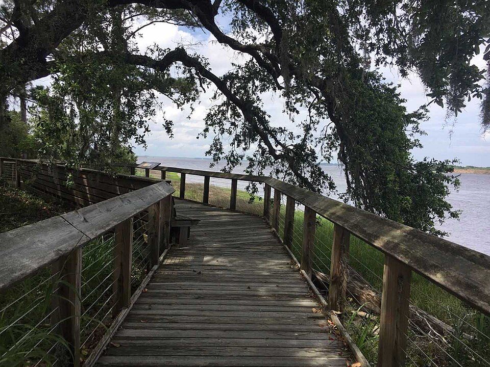 12 mi MuseumBrunswick Town
 35 mi LighthouseFrying Pan Shoals Light26 mi GardenAirlie Gardens
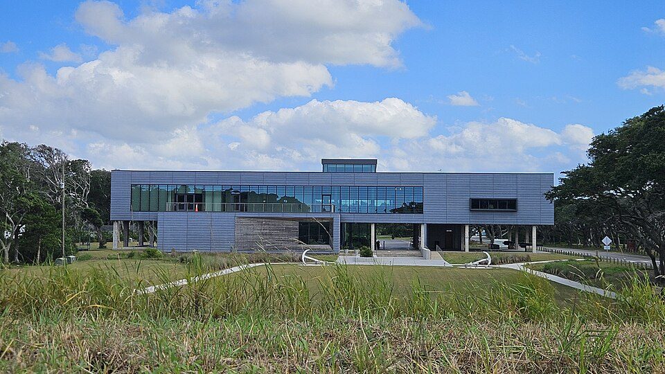 8 mi MuseumFort Fisher Visitor Center
Fort Fisher: Eric T. Gunther, CC BY 3.0 · Orton Plantation: AgnosticPreachersKid., CC BY-SA 3.0 · Brunswick Town: Brunswick1726, CC BY-SA 4.0 · Frying Pan Shoals Light: U.S. Department of Defense, Public domain · Fort Fisher Visitor Center: TomasVial, CC BY-SA 4.0
None within 15 miles of Bald Head Island; the nearest are
About 0 of every 100 Bald Head Island residents are enrolled in college, against 6 across North Carolina.
In a town this size, neighbors are the best guide. Ask them anything.
3 places in Bald Head Island on the National Register of Historic Places.
Village in North Carolina, United States
Bald Head Island, historically known as Smith Island, is a village located on the east side of the Cape Fear River in Brunswick County, North Carolina, United States. Compared to the nearby city of Wilmington to the north, the village of Bald Head Island is small and somewhat remote. Despite its name, Bald Head Island is not an island. The historical Corncake Inlet that separated it from Kure Beach, filled in after Hurricane Floyd in 1999, and has remained closed ever since. It is accessible by ferry from the nearby town of Southport and by four-wheel drive vehicle along the beach strand from Fort Fisher to the north. Only government officials are allowed to drive the beach strand route. Th…
From Wikipedia, licensed CC BY-SA 4.0 · facts via Wikidata (CC0)
Short answers, built from the data on this page.
Bald Head Island has fewer than 1,000 residents, too few for fair grades; the figures below are still real.