
Frying Pan Shoals Light Station
Frying Pan Shoals Light Station is a decommissioned Coast Guard lighthouse located near the end of the Frying Pan Shoals 32 miles (51 km) SE of Bald Head Island, North Carolina. Expect 66–83°F afternoons in the mildest months, March, April, May, September, October and November.

A lighthouse, 35 mi southeast of Bald Head Island
Plan where you’ll sleep
The nearest town with many places to stay is Southport, 40 miles northwest. Where to stay ↓
Best months: Mar, Apr, May, Sep, Oct and Nov
March, April, May, September, October and November are the mild months, with highs of 66–83°. When to go ↓
Written from NOAA 1991–2020 normals, Overture places to stay, Census town figures and Wikipedia.
The weather by month
Plan a visit to Frying Pan Shoals Light around the weather below.
Frying Pan Shoals Light Station
Frying Pan Shoals Light Station is a decommissioned Coast Guard lighthouse located near the end of the Frying Pan Shoals 32 miles (51 km) SE of Bald Head Island, North Carolina. The Frying Pan Shoals Light Station rises 135' above the Atlantic Ocean. It has been privately owned since 2010 after it was purchased from a government auction. Identity of the owner(s) has not been disclosed. The nonprofit FPTower Inc. received a donation of shares in July 2025 and entered into an agreement in July 2026, ending the nonprofit's access to, and any responsibility for the structure's restoration.
- Type
- Lighthouse
- Wikipedia readers
- 13K a year
A base for Frying Pan Shoals Light
To stay close, try Southport (17) and Bald Head Island (4).
Southport
The closest town with somewhere to stay.
4,434 people
40 mi northwest of Frying Pan Shoals Light
Bald Head Island
279 people · 80% vacation homes
35 mi northwest of Frying Pan Shoals Light
Compare 3 towns
| Town | From Frying Pan Shoals Light | Drive | Places to stay | People | Typical home |
|---|---|---|---|---|---|
| Southport | 40 mi northwest | 1 hr | 17 7 hotels · 1 motel · 8 inns & B&Bs · 1 RV park | 4,434 | $438K |
| Bald Head Island 80% vacation homes | 35 mi northwest | 55 min | 4 1 hotel · 2 inns & B&Bs · 1 lodge or cabins | 279 | $1,367K |
| Caswell Beach 40% vacation homes | 40 mi northwest | 1 hr | 2 2 hotels | 381 | $648K |
Getting there
Nearest airports with airline service
While you are near Frying Pan Shoals Light
A wider trip can take in these, within 57 miles.
 39 mi LandmarkFort Fisher
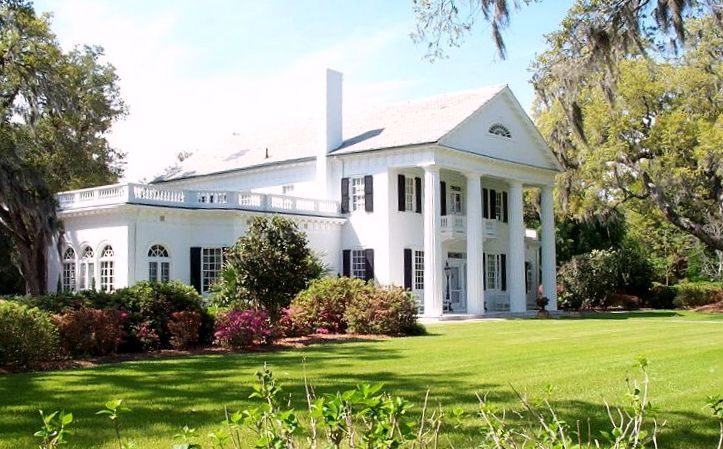 45 mi GardenOrton Plantation
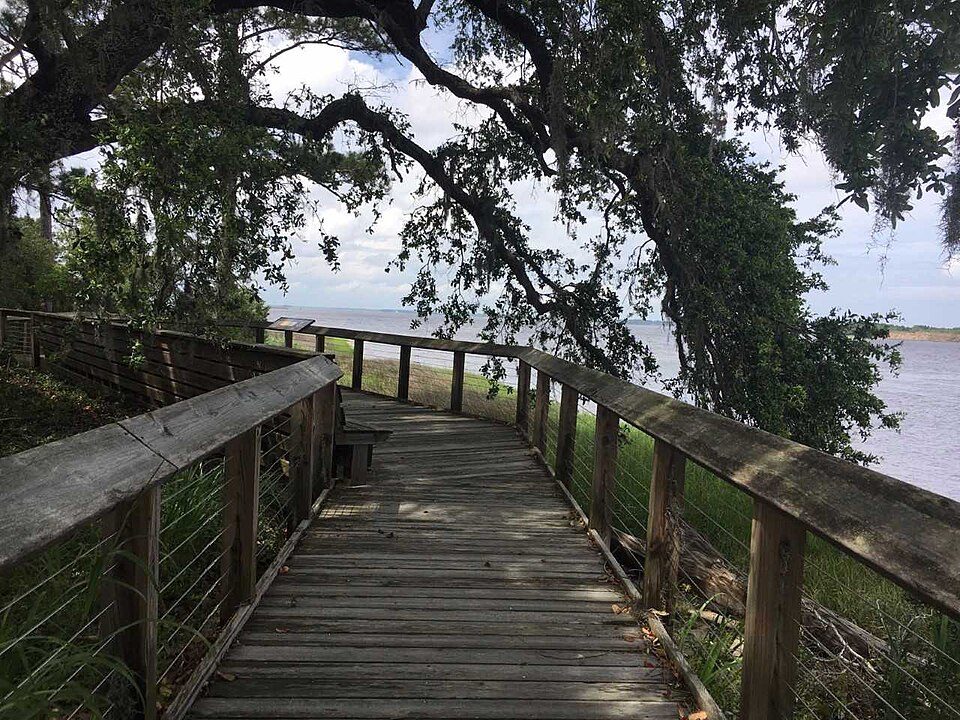 44 mi MuseumBrunswick Town52 mi GardenAirlie Gardens
 56 mi TheatreThalian Hall
 56 mi MuseumCape Fear Museum
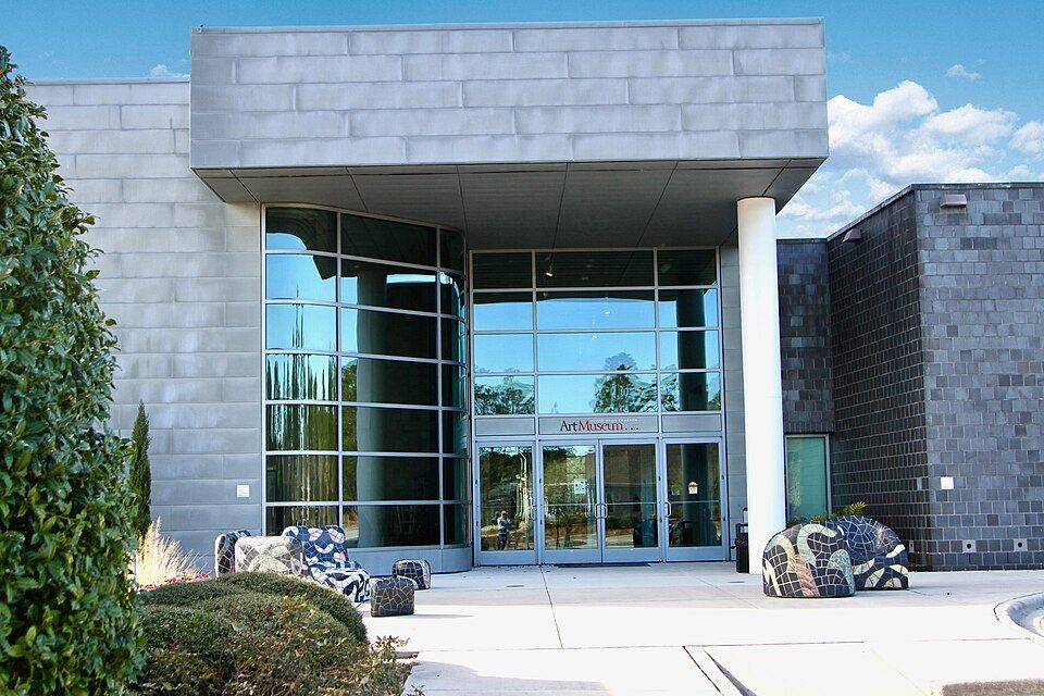 52 mi MuseumCameron Art Museum
Photo credits
Fort Fisher: Eric T. Gunther, CC BY 3.0 · Orton Plantation: AgnosticPreachersKid., CC BY-SA 3.0 · Brunswick Town: Brunswick1726, CC BY-SA 4.0 · Thalian Hall: Sanfranman59, CC BY-SA 3.0 · Cape Fear Museum: Billy Hathorn, CC BY-SA 3.0 · Cameron Art Museum: Starjelly3201, CC BY-SA 4.0


Your questions on Frying Pan Shoals Light
What town is Frying Pan Shoals Light near?
Bald Head Island, NC, about 35 miles northwest.
When is the best time to visit Frying Pan Shoals Light?
March, April, May, September, October and November, with highs of 66–83°.
What is the closest airport to Frying Pan Shoals Light?
Wilmington (ILM), about 58 miles away. The nearest big hub is Myrtle Beach (MYR), about 79 miles.
Where should I stay near Frying Pan Shoals Light?
Southport (40 mi, 17 places to stay) and Bald Head Island (35 mi, 4 places to stay).
Questions for Bald Head Island
Tips will appear here once someone posts in Bald Head Island’s Town Square.
Sources: National Park Service · ski areas © OpenSkiMap / OpenStreetMap contributors · Wikidata · Wikipedia readership · NOAA climate normals · U.S. Census.