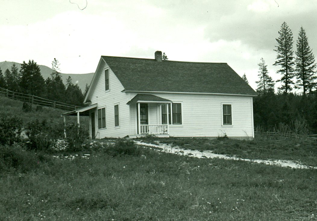
Ant Flat Ranger Station · Photo: USFS photo · Public domain
–Not graded
Outdoors in Trego
Few parks or trails are on the map in Trego
The biggest trail networks: Kootenai National Forest (58.3 mi). 46% of Trego’s land is conserved, about 15,931 acres. 119 miles of mapped trail cross Trego, 2.2 per square mile of land.
Conserved land
46%
15,931 acres · of 53.9 sq mi of land
Trails
119 mi
2.2 per sq mi of land
Near a park
under 1%
of residents within ½ mile
Highest peak
4,606 ft
Edna Mountain
Lakes & rivers
2
1 boat launch
The map
Conserved land, trails & bike routes
Tap a number to zoom to a park. Tap a layer to hide it.
46% of Trego’s land. Who manages Trego’s conserved land, from the USGS Protected Areas Database. Approximate, because parcels can overlap.
U.S. Forest Service15,279 ac
Land trusts & nonprofits600 ac
USDA easements (NRCS)52 ac
National Forest · 15,279 acUnknown Easement · 600 acConservation Easement · 52 ac
Good to know
Conserved doesn’t always mean open to visitors. 652 acres are conservation easements, usually private land. Public access isn’t recorded for 2 of 4 parcels. The walks above are places people visit.
The biggest protected parcels
Parcel (PAD-US)
Managed by
Acres
Public access
Kootenai National Forest
National Forest
U.S. Forest Service
15,279
Open
Things to do
5 places to go in Trego
Beaches, playgrounds, peaks, falls and more. Pick a kind.
Boat launches in Trego
1 boat launch without a name on the map. Tap “Show all on map” to see it.
Scenic views in Trego
1 scenic view without a name on the map.
Peaks in Trego
Edna Mountain4,606 ft elevation · In Kootenai National Forest
The best walking months in Trego: May and July to September
NOAA’s 1991–2020 normals for the town and the daylight at its latitude. Outlined months have long days, highs of 59 to 86 °F and little rain for the place.
Jan
Feb
Mar
Apr
May
Jun
Jul
Aug
Sep
Oct
Nov
Dec
Daylight (h)
8.7
10.1
11.7
13.6
15.2
16.1
15.7
14.3
12.5
10.7
9.1
8.3
High (°F)
31
36
45
54
65
71
81
81
70
53
38
30
Rain (in)
1.5
1.2
1.5
1.6
2.2
2.9
1.3
1.0
1.5
1.7
2.0
1.9
August is the driest month (1.0 in) and July the warmest (highs of 81 °F). 2.9 inches fall in June, the wettest month. The climate in Trego →
Questions about parks and trails in Trego
Where can I hike in Trego?
The longest trail networks: Kootenai National Forest, 58.3 miles. Each one is on the map above, with directions to the nearest trailhead or parking.
Are dogs allowed on Trego’s trails?
Kootenai National Forest doesn’t have dog rules recorded on the map; check the signs at the trailhead.
Is there public land near Trego?
355,429 acres of parks and open public land lie inside Trego or within 10 miles of it (PAD-US), 17,216 of them inside the town line.
Trail talk
Conditions, parking and favorite walks from Trego neighbors.