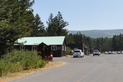
Saint Mary Ranger Station · National Register of Historic Places
St. Mary’s story
128 years in pictures
2 places on the National Register of Historic Places.
- 1898St. Mary is settled
Each edition grades its towns against each other only.
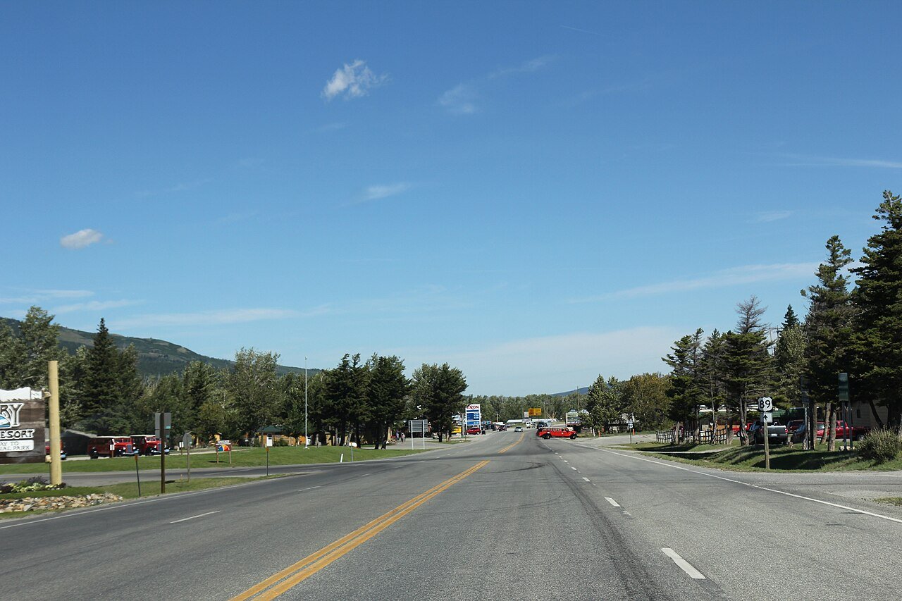
The town, settled in 1898, counts 193 residents.
62% of residents live below the poverty line in St. Mary, above both the Montana town median (10%) and the median of U.S. towns (9.6%). Among 43 Montana towns, just one has a lower typical July afternoon high than St. Mary. 34% of the land in St. Mary is conserved, where Montana’s towns sit at 9.2% and U.S. towns at 4.3%. St. Mary has 2 places on the National Register of Historic Places, among them Great Northern Railway Buildings and Going-to-the-Sun Road. St. Mary has fewer than 1,000 residents, too few for fair grades; the figures below are still real.
In a town this size, neighbors are the best guide. Ask them anything.
2 places on the National Register of Historic Places.
Museums, parks, gardens and other places to visit around St. Mary. Close and well known come first.
 7 mi LakeSaint Mary Lake
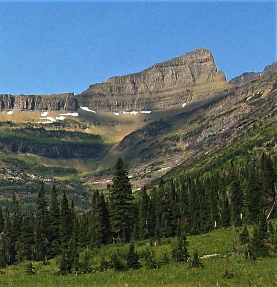 12 mi MountainTriple Divide Peakin town National ParkGlacier National Park3.1M visitors a year
 28 mi Park & preserveWaterton-Glacier International Peace Park
 14 mi MuseumLogan Pass Visitor Center
 in town MuseumSaint Mary Visitor Center, Entrance Station and Checking Stations
Saint Mary Lake: Ken Thomas (talk · contribs), Public domain · Triple Divide Peak: Eggbones, CC BY-SA 4.0 · Waterton-Glacier International Peace Park: Jesse Allen, NASA Earth Observatory, using data obtained courtesy of the Univers, Public domain · Logan Pass Visitor Center: Royalbroil, CC BY-SA 3.0 · Saint Mary Visitor Center, Entrance Station and Checking Stations: National Park Service inventory, Public domain
St. Mary is unincorporated, so Glacier County and regional agencies provide most services.
EPA SDWIS (Oct 9, 2026) · HIFLD + EIA-861 2025 · Census 2020 ZCTAs · NCES 2024–25 · registration: vote.gov, updated Nov 18, 2024.
Ordered by what stands out in St. Mary.
The bachelor’s-degree share among adults 25 and older is 38%, against 35% across Montana. Adults 18 to 34 are 54% of residents (22% statewide); people 65 and older are 7% of residents (20% statewide).
Somewhere between 10% and 78% women
The Census survey reached too few of St. Mary’s residents to say more: its margin here is ±33.9 points. Across Montana, 49.3% of residents are women.
| St. Mary | MT | U.S. | |
|---|---|---|---|
| Under 10 | 0% | 11% | 11.6% |
| 10 to 17 | 10.4% | 10% | 10.3% |
| 18 to 24 | 32.6% | 9% | 9.1% |
| 25 to 34 | 21.2% | 12.9% | 13.7% |
| 35 to 44 | 21.8% | 12.9% | 13.2% |
| 45 to 54 | 6.7% | 11.1% | 12.2% |
| 55 to 64 | 0% | 13% | 12.7% |
| 65 to 74 | 7.3% | 12.4% | 10.2% |
| 75 and older | 0% | 7.8% | 7% |
| No diploma | 0% | 5.4% | 10.4% |
| High school | 15.5% | 27.5% | 26% |
| Some college | 11.8% | 22.4% | 19.1% |
| Associate’s | 34.5% | 9.6% | 8.8% |
| Bachelor’s | 18.2% | 23.2% | 21.6% |
| Graduate | 20% | 12% | 14.1% |
U.S. Census Bureau · ACS 2020-2024 5-year estimates · in a town of 200, single groups can be off by several points
The biggest park or preserve is Glacier National Park, at 156 acres. 1.5 miles of trail wind through 1 park or preserve. St. Mary’s trail density comes in at 2.1 miles per square mile.
| Biggest places to walk | Trails | Acres |
|---|---|---|
| 1. Glacier National Park | 0.6 mi | 156 |
Trails & parks © OpenStreetMap contributors · Conserved land: USGS PAD-US
July afternoons reach 75° and January nights drop to 13°.
NOAA U.S. Climate Normals, 1991–2020
18% of St. Mary adults binge drink. Among 42 Montana towns, just 2 have a higher share of adults who feel lonely than St. Mary. Two figures for adults locally: 31% smoke cigarettes, 18% have diabetes. Against the Montana average, St. Mary comes out ahead on 1 CDC measures out of 32, and behind on 27.
| St. Mary | Montana towns | U.S. towns | |
|---|---|---|---|
| Fair or poor health (CDC PLACES) | 35% | 19% | 19% |
| Smoke cigarettes (CDC PLACES) | 31% | 14% | 14% |
| Diabetes (CDC PLACES) | 18% | 10% | 12% |
| Frequent mental distress (CDC PLACES) | 25% | 18% | 17% |
| What stands out | St. Mary | MT |
|---|---|---|
| Fewer adults who have had cancer | 6.1% | 9.3% |
| More adults facing a utility shut-off | 22.5% | 6.5% |
CDC PLACES 2025 · modeled estimates for adults · CMS · HRSA
FEMA puts just over two fifths of St. Mary’s expected hazard losses down to cold waves, and 35% to inland flooding. Expected damage from storms and floods is higher here than in nearly three fifths of U.S. communities.
FEMA National Risk Index · OpenFEMA
None within 15 miles of St. Mary; the nearest are
About 0 of every 100 St. Mary residents are enrolled in college, against 5 across Montana.
2 places in St. Mary on the National Register of Historic Places.
Census-Designated Place in Montana, United States
St. Mary or Saint Mary (Blackfeet: Natoaki, "Holy Woman") is an unincorporated community on the western border of the Blackfeet Indian Reservation adjacent to Glacier National Park in Glacier County, Montana, United States. The village is the eastern terminus of the Going-to-the-Sun Road which bisects the park east to west, a distance of 53 mi (85 km). As of the 2020 census, St. Mary had a population of 54. The population increases tenfold on a busy summer evening. Several lodges, restaurants and cafés, a small grocery store, two gas stations and campgrounds are located in the village. A large housing area for National Park Service personnel is located adjacent to the village, but within th…
From Wikipedia, licensed CC BY-SA 4.0 · facts via Wikidata (CC0)
Short answers, built from the data on this page.
St. Mary has fewer than 1,000 residents, too few for fair grades; the figures below are still real.