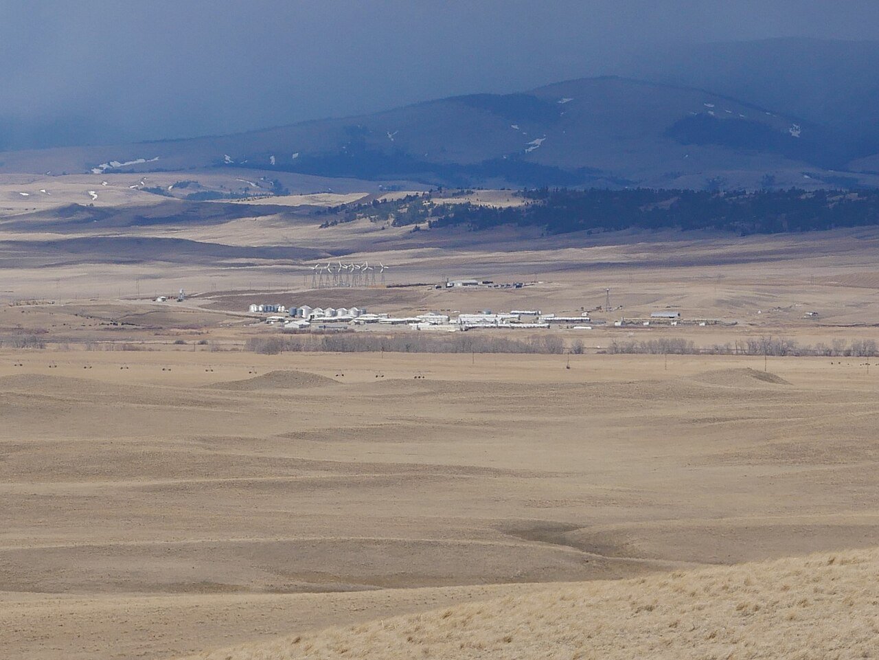
Martinsdale ColonyMT
In Montana, this town has 57 residents.
Is Martinsdale Colony a good place to live?
46% of residents live below the poverty line in Martinsdale Colony, where Montana’s towns sit at 10% and U.S. towns at 9.6%. Martinsdale Colony has fewer than 1,000 residents, too few for fair grades; the figures below are still real.
57 people, and everyone knows the way
In a town this size, neighbors are the best guide. Ask them anything.
The data
Ordered by what stands out in Martinsdale Colony.
Expect snowy winters and pleasant summers in Martinsdale Colony
The July high in Martinsdale Colony is 82°F.
Typical low → high °F
NOAA U.S. Climate Normals, 1991–2020
How healthy Martinsdale Colony is
Among adults in Martinsdale Colony, 22% binge drink. In Martinsdale Colony, 68% of adults had a checkup this year.
| Martinsdale Colony | Montana towns | U.S. towns | |
|---|---|---|---|
| Yearly checkup (CDC PLACES) | 68% | 72% | 79% |
| Binge drink (CDC PLACES) | 22% | 20% | 16% |
| Smoke cigarettes (CDC PLACES) | 18% | 14% | 14% |
| Frequent physical distress (CDC PLACES) | 16% | 14% | 14% |
| What stands out | Martinsdale Colony | MT |
|---|---|---|
| Fewer adults seeing a dentist | 53.9% | 63.3% |
| Fewer adults getting cholesterol checked | 78.2% | 82.5% |
CDC PLACES 2025 · modeled estimates for adults · CMS · HRSA
Martinsdale Colony has a moderate natural-hazard risk, chiefly from inland flooding
Compared with 54% of U.S. communities, expected storm and flood damage in Martinsdale Colony is higher. 59% of the town’s expected losses from natural hazards come from inland flooding, followed by cold waves at 23%.
FEMA National Risk Index · OpenFEMA
0.1% of Martinsdale Colony is conserved land
1.4 miles of trail. Martinsdale Colony’s concentration of trails is 0.6 miles per square mile.
Trails & parks © OpenStreetMap contributors · Conserved land: USGS PAD-US
Everything we know about Martinsdale Colony
Moving to Martinsdale Colony: who provides what
Martinsdale Colony is unincorporated, so Wheatland County and regional agencies provide most services.
EPA SDWIS (Oct 9, 2026) · HIFLD + EIA-861 2025 · Census 2020 ZCTAs · NCES 2024–25 · registration: vote.gov, updated Nov 18, 2024.
Colleges nearby
None within 15 miles of Martinsdale Colony; the nearest are
About 0 of every 100 Martinsdale Colony residents are enrolled in college, against 5 across Montana.
About Martinsdale Colony
Census-designated place in Montana, United States
Martinsdale Colony is a Hutterite community and census-designated place (CDP) in Wheatland County, Montana, United States. As of the 2020 census, Martinsdale Colony had a population of 97. It is on the western edge of the county, bordered to the west by Meagher County and 4 miles (6 km) northeast of the unincorporated community of Martinsdale. The Musselshell River forms the southern edge of the CDP. U.S. Route 12 runs through the southern part of the CDP, leading east 22 miles (35 km) to Harlowton, the Wheatland county seat, and west 36 miles (58 km) to White Sulphur Springs. The community was first listed as a CDP prior to the 2020 census.
From Wikipedia, licensed CC BY-SA 4.0 · facts via Wikidata (CC0)
- Area
- 2.2 sq mi
- Elevation
- 4,688 ft
Questions about Martinsdale Colony
Short answers, built from the data on this page.
Is Martinsdale Colony, MT a good place to live?
Martinsdale Colony has fewer than 1,000 residents, too few for fair grades; the figures below are still real.
Say something about Martinsdale Colony.
Ask a question, answer one, post a photo or an event. Free, and the parts only a neighbor would know are the parts worth reading.