Lodes of silver, described by geologists as supergene enrichments, were initially discovered in the Elkhorn Mountains by Peter Wys, a Swiss immigrant. Six years later, Anton Holter, a pioneer capitalist from Helena, began developing the mine. Over $14 million in silver was carried from the mine. In 1890, the Sherman Silver Purchase Act passed, creating a high demand for Elkhorn's silver.
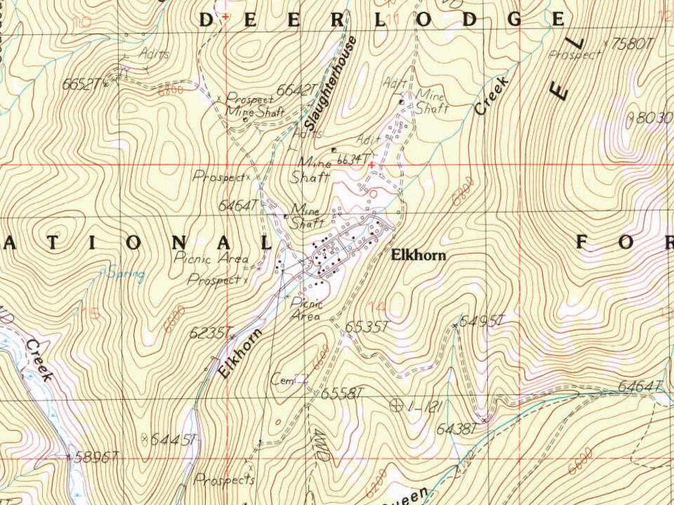
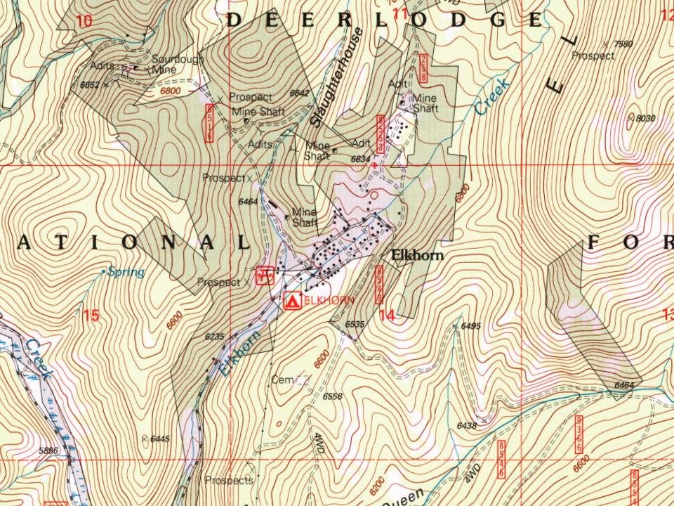
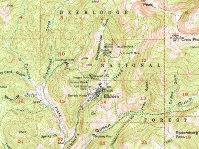
Every edition of the U.S. Geological Survey’s map of Elkhorn. Tap a year, or press play to watch the town change.
1950Clancy sheet · 1:62,500
U.S. Geological Survey historical topographic maps (public domain), via Esri’s collection of the scans. The red ring marks the center of Elkhorn.
Every building
Elkhorn, building by building, 1892–1897
Fire insurance maps drew every building, what it was made of and what it was used for, so insurers could price the risk of fire. Pick a year, then a sheet.
1892Sheet 1 of 1
Edition
Sheets
BrickWoodStone
Sanborn Map Company, via the Library of Congress. Editions published in 1930 or earlier, which are in the public domain.
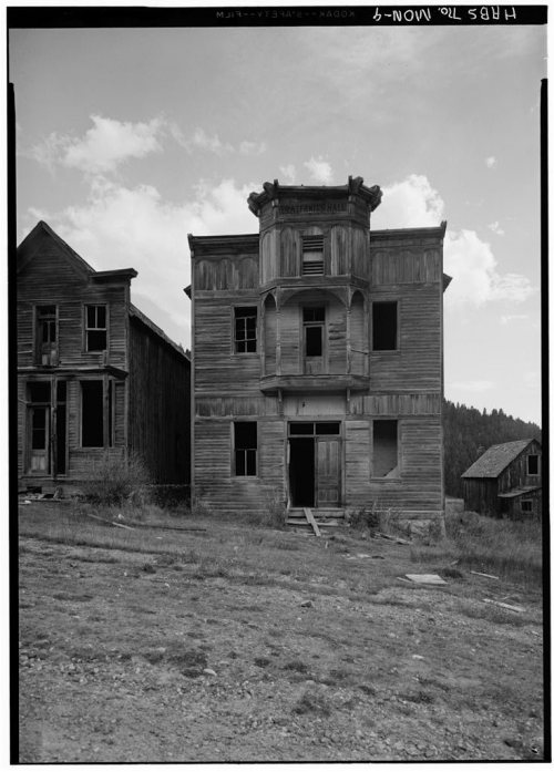
On the National Register
1 historic place in Elkhorn
The country’s official list of buildings and places worth saving.
National Park Service, National Register of Historic Places. Photos from Wikimedia Commons, credited on each place’s page.
Places that used to be
Lost post offices and places now gone
Elkhorn had its own post office from 1884 to 1924.
Elkhorn
1884–1924
18801950today
Gone or out of use
C and D MinemineC and D MinemineCarmody MinemineCarmody MinemineDunstone/Klondyke MinemineEast Butte MinemineElkhornlocaleElkhorn Post Officepost officeGolden Moss MinemineGolden Moss MinemineHardcash MinemineHeggen MinemineIron MinemineJames R Keene MinemineKing of Sweden MinemineLouise MinemineLuxanburgh MinemineMoreau Minemine
US Post Offices dataset (Blevins & Helbock, CC0). Places and cemeteries from the USGS Geographic Names Information System (2021).
Questions about Elkhorn’s history
What year was Elkhorn founded?
In 1872, according to Wikidata. Elkhorn’s post office opened in 1884.
Founding dates: Wikidata, Wikipedia, the U.S. post office records of Blevins & Helbock (CC0) and the Census. Homes by year built: Census ACS 2020–24. National Register of Historic Places: National Park Service (list of May 22, 2026). Old photos, postcards and papers: Wikimedia Commons, the Library of Congress and other public archives, credited on each item’s page. Maps: U.S. Geological Survey historical topographic maps (via Esri) and Sanborn fire-insurance maps (Library of Congress). History text and census tables: Wikipedia (CC BY-SA 4.0). Places that used to be: USGS Geographic Names Information System (2021). How TownRatings grades history →
From Wikimedia Commons (18), the National Register of Historic Places (1), Wikipedia, Wikidata and Wikipedia for famous people, U.S. Geological Survey historical maps, the US Post Offices dataset (Blevins & Helbock), the USGS Geographic Names Information System and Sanborn fire insurance maps (Library of Congress). Archive images are copied here with their credits and licenses, shown on each photo’s page. Refreshed monthly.
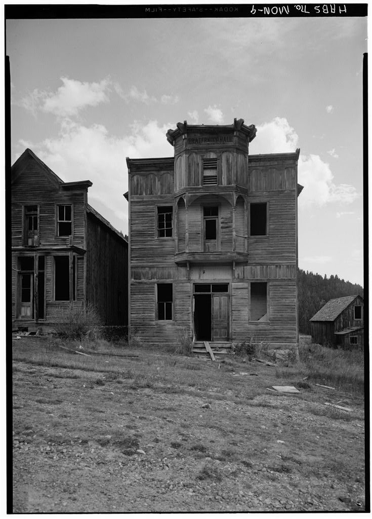

 2015
 2015
 2015
 2015
 2015
 2015
 2015
 2015
 2015
 2015
 2015
 2015
 2015
 2015
 2015
 2015
 2015
 2008