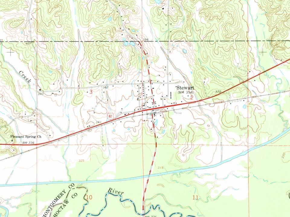
Most of Stewart was built recently: 0.0% of its homes predate 1940 and the median home dates from 1976. Below: maps from 1966 on and old-book passages.
Passages that mention Stewart, cut from the printed page as they were published.
The history of Virgil A. Stewart, and his adventure in capturing and exposing the great "western land pirate" and his gang, in connexion with the evidence1836 · page 169Read the page →
Read the text
who settled on or near the Yallabusha river, near Tuscahoma, and with a Mr. William J. Cowan, then resident with the said Stewart, as he, said Rhodes, believes, as he has seen the said Cowan and Stewart frequentlytogether at Stewart's own house at Tuscahoma, and at his own (Rhodes's) house ; that he believes said Cowan to be an honest, sober young man, and entitled to credit ; and also that he has seen at the house of said Stewart
Text read by machine from the scan; it may contain errors.
The history of Virgil A. Stewart, and his adventure in capturing and exposing the great "western land pirate" and his gang, in connexion with the evidence1836 · page 101Read the page →
Read the text
stayed there all night, and that one of the men was Murrell, who had stolen negroes from a Mr. Henning, a preacher of Madison county. The other was a man by the name of Stewart, who was following said Murrell for the purpose of detecting his villany. And ( Shampion then related to me the conversation that passed between you and himself ; the same that was afterward published in Stewart's life of John A. Murrell.
Text read by machine from the scan; it may contain errors.
Scans and text from the Internet Archive. Books published in 1930 or earlier, which are in the public domain.
Founding dates: Wikidata, Wikipedia, the U.S. post office records of Blevins & Helbock (CC0) and the Census. Homes by year built: Census ACS 2020–24. National Register of Historic Places: National Park Service (list of May 22, 2026). Old photos, postcards and papers: Wikimedia Commons, the Library of Congress and other public archives, credited on each item’s page. Maps: U.S. Geological Survey historical topographic maps (via Esri) and Sanborn fire-insurance maps (Library of Congress). History text and census tables: Wikipedia (CC BY-SA 4.0). Places that used to be: USGS Geographic Names Information System (2021). How TownRatings grades history →
From Wikimedia Commons (1), Wikipedia, U.S. Geological Survey historical maps, the US Post Offices dataset (Blevins & Helbock), the USGS Geographic Names Information System and old county and town histories (Internet Archive). Archive images are copied here with their credits and licenses, shown on each photo’s page. Refreshed monthly.
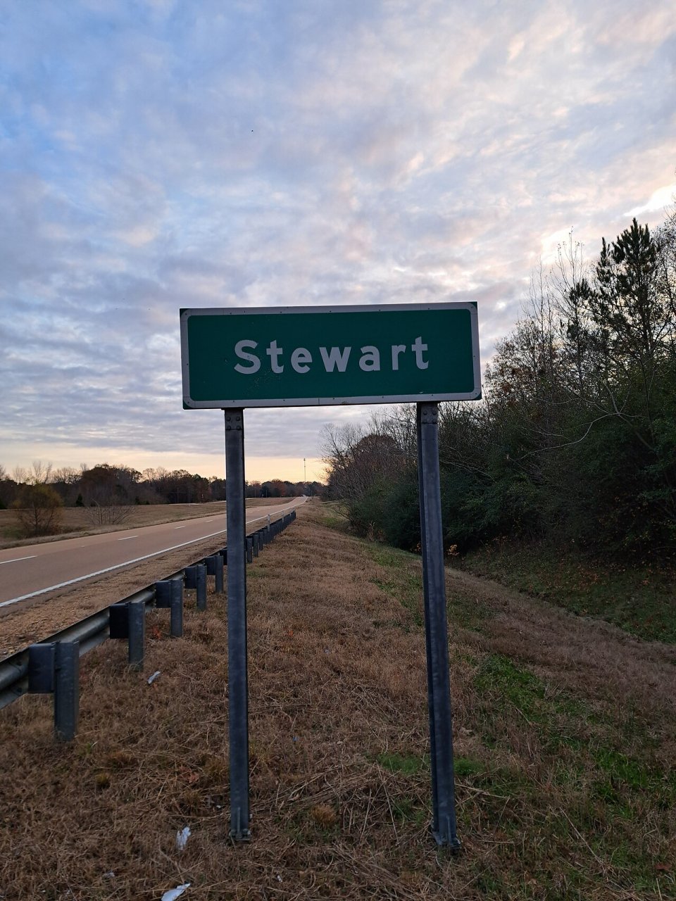


 2022