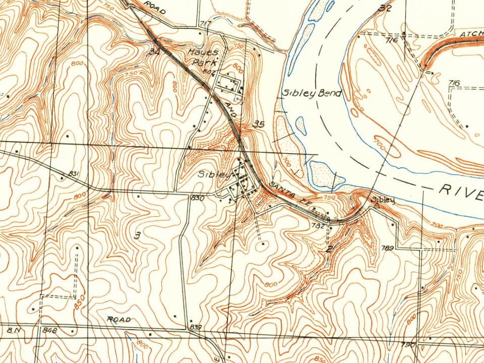
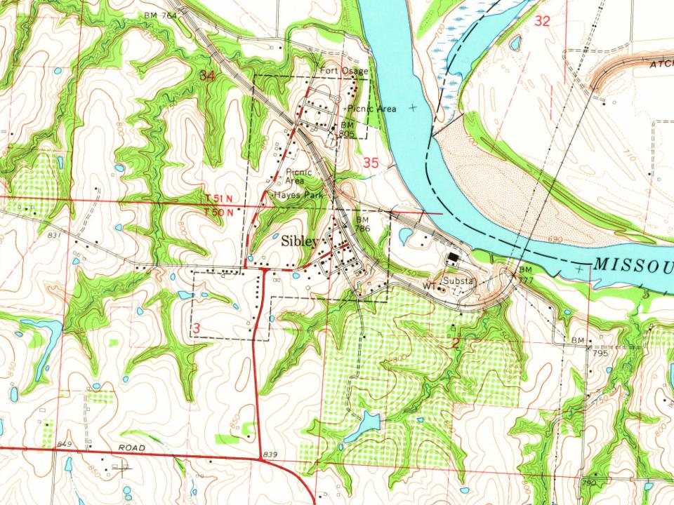
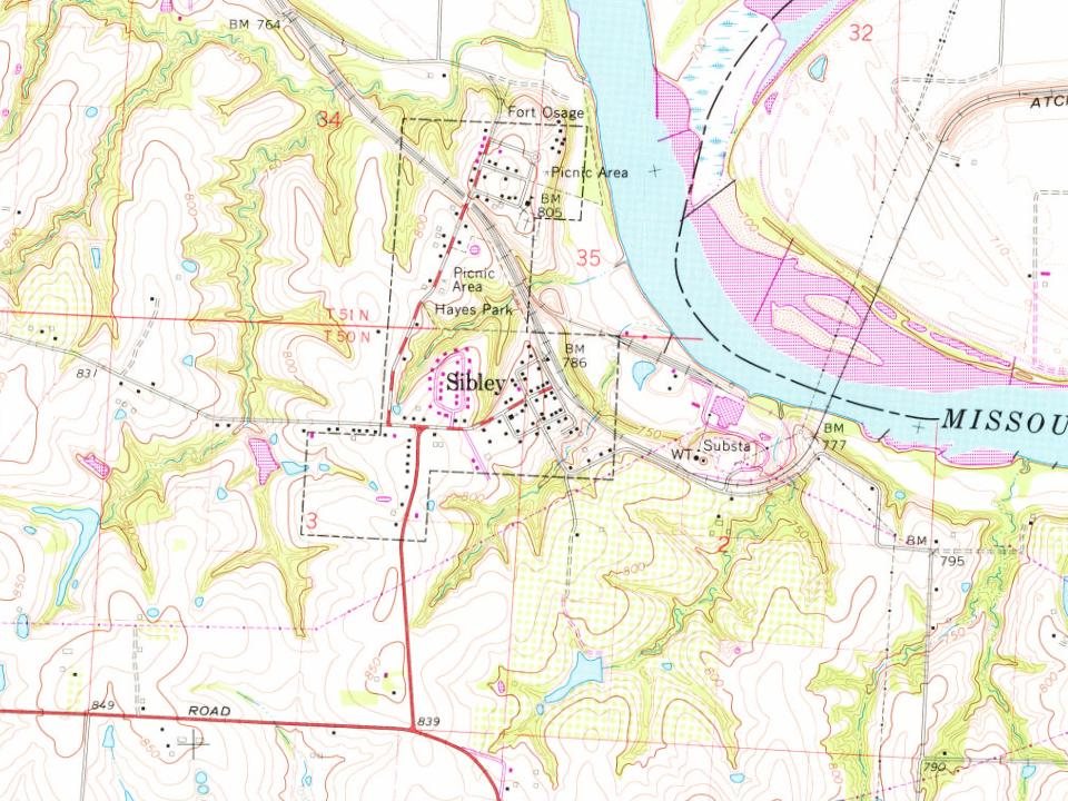
Sibley dates to 1836, and 16% of its homes were built before 1940
1 place in town is on the National Register, among them the Fort Osage, a National Historic Landmark, and a historic district. Below: 6 old photos and papers, maps from 1935 on, and the census since 1960.
Sibley was platted in 1836 as one of the oldest communities in Jackson County. The village was named for George C. Sibley, the first Indian agent and postmaster of Fort Osage from 1818 to 1825.
It was settled on a bluff overlooking the Missouri River in the northeast corner of the county. One of its first homes was built by George C. Sibley. The second home was erected in 1822 by Abraham McCellan. A post office called Sibley has been in operation since 1842.
During the Civil War, most of the village was burned by federal soldiers who decided it was a stronghold of opposing forces because bushwhackers fired upon them as they moved along the river. At least 50 total houses were in the village, of which at least 36 were burned.
Passages that mention Sibley, cut from the printed page as they were published.
The History of Jackson county, Missouri, containing a history of the county, its cities, towns, etc., biographical sketches of its citizens, Jackson county in the late war... history of Missouri, map of Jackson county ..1881Read the page →
Read the text
laid out in the plat of said town, executed by Archibald Gamble, June 4; 1836, and recorded in Plat Book i, on page 60, in the recorders office of said Jackson county at Independence, Missouri, to-wit : Comanche street from the south line of said town of Sibley to the south line of Second street ; Mandan street from the south Une of said town of Sibley to the south line of Second street ; Otto street from the south line of said town of Sibley to the south line of Second street ; Kansas street from the south line of said town of Sibley to the south line of Second street ; Comanche street from
Text read by machine from the scan; it may contain errors.
The History of Jackson county, Missouri, containing a history of the county, its cities, towns, etc., biographical sketches of its citizens, Jackson county in the late war... history of Missouri, map of Jackson county ..1881Read the page →
Read the text
51, R. 30, on the south bank of the Missouri River, Sec. 34, and 35. The following is the conclusive record : " The plat of the town of Sibley was laid out by the undersigned proprietor, in the year 1836, and I acknowledge this plat filed in the Recorder's office to be my act, and at the same time I do reserve to myself or my heirs or assigns the rights of ferry to and from said town within the limits thereof.
Text read by machine from the scan; it may contain errors.
Scans and text from the Internet Archive. Books published in 1930 or earlier, which are in the public domain.
By decade
Sibley, decade by decade
2 decades in the archive, from the 1900s to the 1940s. Scroll each row; tap a photo for its story.
Nothing in the archives for these yearsWeddings on Main Street, storms, parades, school pictures, the old store. If it’s in your family album, it belongs here.
Nothing in the archives for these yearsWeddings on Main Street, storms, parades, school pictures, the old store. If it’s in your family album, it belongs here.
Founding dates: Wikidata, Wikipedia, the U.S. post office records of Blevins & Helbock (CC0) and the Census. Homes by year built: Census ACS 2020–24. National Register of Historic Places: National Park Service (list of May 22, 2026). Old photos, postcards and papers: Wikimedia Commons, the Library of Congress and other public archives, credited on each item’s page. Maps: U.S. Geological Survey historical topographic maps (via Esri) and Sanborn fire-insurance maps (Library of Congress). History text and census tables: Wikipedia (CC BY-SA 4.0). Places that used to be: USGS Geographic Names Information System (2021). How TownRatings grades history →
From the Library of Congress (6), the National Register of Historic Places (1), Wikipedia, U.S. Geological Survey historical maps, U.S. Census counts (via Wikipedia), the US Post Offices dataset (Blevins & Helbock), the USGS Geographic Names Information System and old county and town histories (Internet Archive). Archive images are copied here with their credits and licenses, shown on each photo’s page. Refreshed monthly.
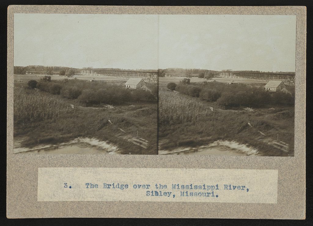


 ★ Landmark
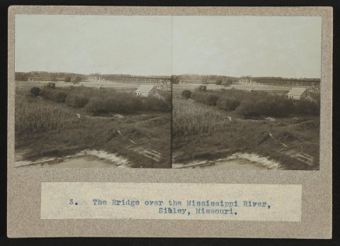
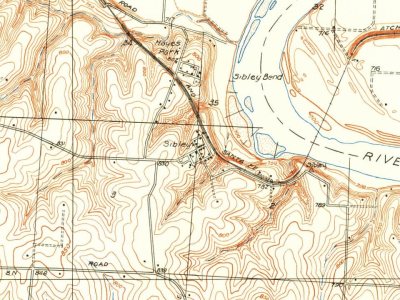


 1943
 1943
 1943
 1943