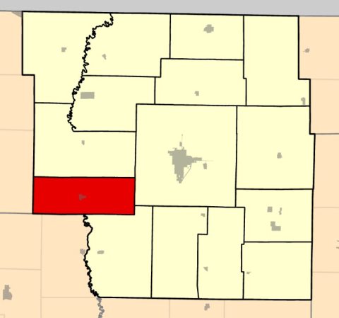
Monroe Township was erected on February 12, 1881, from parts of Green Township and Hughes Township because inhabitants complained of traveling too far to vote. It was named after President James Monroe.
Passages that mention Monroe Township, cut from the printed page as they were published.
The history of Nodaway county, Missouri, containing a history of the county, its cities, towns, etc., biographical sketches of its citizens1882 · page 245Read the page →
Read the text
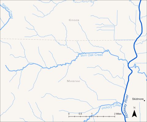
The town of Skidmore is situated eleven miles south of Burlington Junction, exactly in the geographical center of Monroe Township, about half a mile east of the Nodaway River. A beautiful little valley or depression runs through the town from north to south, giving it perfect drainage, along which passes the railroad, the town being thus freed, in great measure, from the noise, dust and smoke of passing trains. The land on each side of this little depression rises in fine rolls, on which lies the village of Skidmore, one of the finest towns in the Nodaway Valley.
Text read by machine from the scan; it may contain errors.
Scans and text from the Internet Archive. Books published in 1930 or earlier, which are in the public domain.
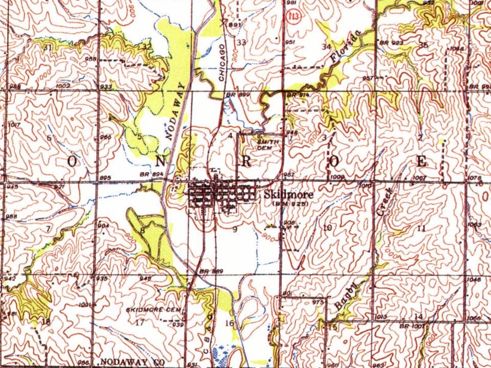
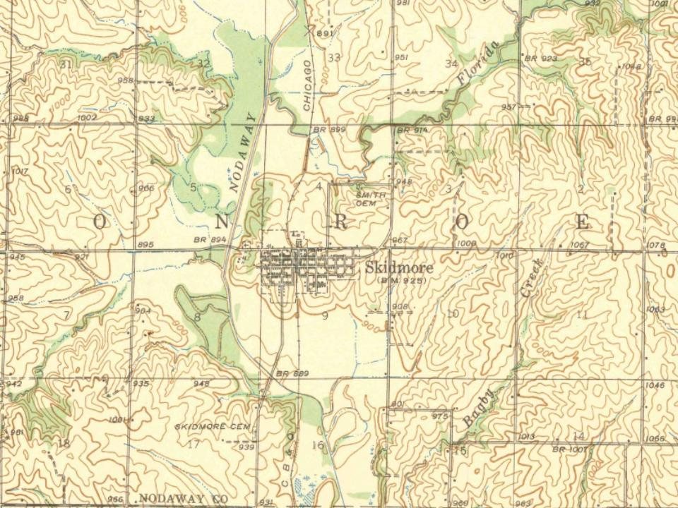
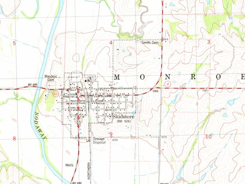
Every edition of the U.S. Geological Survey’s map of Monroe Township. Tap a year, or press play to watch the town change.
1939Skidmore sheet · 1:62,500
U.S. Geological Survey historical topographic maps (public domain), via Esri’s collection of the scans. The red ring marks the center of Monroe Township.
Famous people
Famous people close to Monroe Township
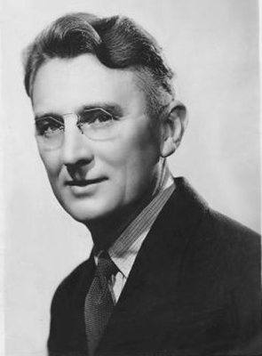
Nobody well known was born in Monroe Township itself, so here are the best known from just nearby.
Founding dates: Wikidata, Wikipedia, the U.S. post office records of Blevins & Helbock (CC0) and the Census. Homes by year built: Census ACS 2020–24. National Register of Historic Places: National Park Service (list of May 22, 2026). Old photos, postcards and papers: Wikimedia Commons, the Library of Congress and other public archives, credited on each item’s page. Maps: U.S. Geological Survey historical topographic maps (via Esri) and Sanborn fire-insurance maps (Library of Congress). History text and census tables: Wikipedia (CC BY-SA 4.0). Places that used to be: USGS Geographic Names Information System (2021). How TownRatings grades history →
From Wikimedia Commons (2), Wikipedia, U.S. Geological Survey historical maps, the USGS Geographic Names Information System and old county and town histories (Internet Archive). Archive images are copied here with their credits and licenses, shown on each photo’s page. Refreshed monthly.

 2025
 2025