208 years in pictures
Census counts: 76 in 1860, 1,245 in 2020. The archive holds 12 old photos and papers going back to 1914 and 3 maps from 1948 on.
4 places on the National Register of Historic Places.
- 1818Marthasville is settled
Each edition grades its towns against each other only.

The best of Marthasville’s subject grades are an A+ for cost of living, an A for incomes, and an A− for schools; the weakest is a D for walkability. Marthasville’s average trip to work is 38 minutes, where Missouri’s towns sit at 22 minutes and U.S. towns at 25 minutes. On walkability, just 22 of Missouri’s 419 towns do worse. Marthasville has 4 places on the National Register of Historic Places, among them Starke-Meinershagen-Boeke Rural Historic District and Herman H. Fortmann Building. Marthasville has fewer than 2,500 residents, so it gets subject grades but no overall grade.
Where Marthasville beats most towns.
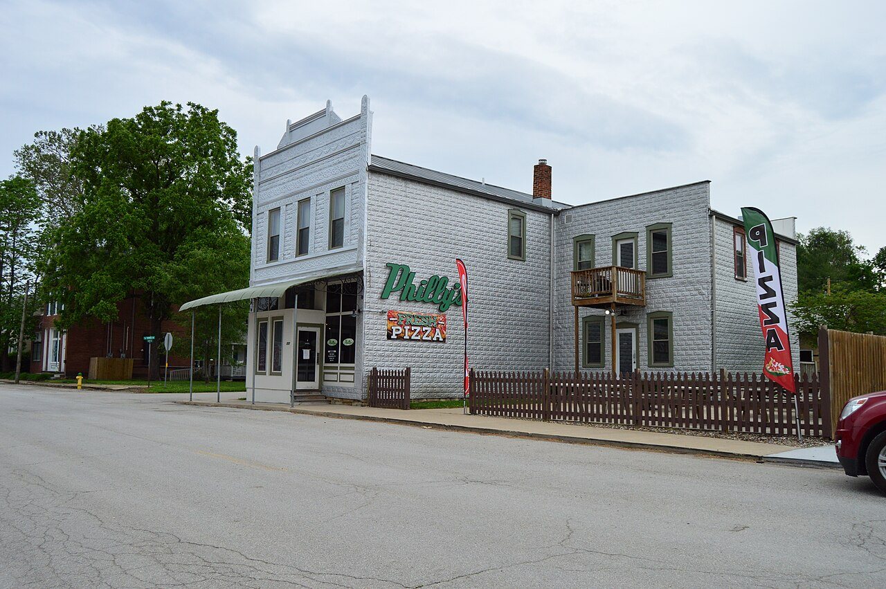
Herman H. Fortmann Building| School | Grades | Students |
|---|---|---|
| Marthasville Elementary | K–6 | 189 |
Census counts: 76 in 1860, 1,245 in 2020. The archive holds 12 old photos and papers going back to 1914 and 3 maps from 1948 on.
4 places on the National Register of Historic Places.
Each subject compared with towns across the country (schools within Missouri), ordered by how far Marthasville is from typical.
How TownRatings grades towns →
Who provides power, water and the rest in Marthasville, and how to reach them.
EPA SDWIS (Oct 9, 2026) · HIFLD + EIA-861 2025 · Census 2020 ZCTAs · NCES 2024–25 · registration: vote.gov, updated Nov 18, 2024.
Ordered by what stands out in Marthasville.
Its public schools are run by the Washington school district. Its one school is below.
| School | Level | Students | Letter |
|---|---|---|---|
| Marthasville ElementaryLargest public elementary schoolGrades K–6 | Grades K–6 | 189 | B− |
NCES · EDFacts · graded within MO on state tests and graduation
Most working residents leave Marthasville for work: only 2% work in town. 2.6% of residents live below the poverty line in Marthasville, below both the Missouri town median (14%) and the median of U.S. towns (9.6%). The median household income in Marthasville is $112,000.
| Marthasville | Missouri towns | U.S. towns | |
|---|---|---|---|
| Below the poverty line | 2.6% | 14% | 9.6% |
| Median household income | $112,000 | $62,000 | $80,000 |
| Working residents who work in town | 2.2% | 13% | 8% |
Census LEHD 2023 · ACS
The typical Marthasville home is worth about $346,000, up 1.4% in a year, 30% above the Missouri typical home. 83% of Marthasville households own their home.
| Marthasville | Missouri towns | U.S. towns | |
|---|---|---|---|
| Households that own their home | 83% | 64% | 73% |
| Median rent | $953 a month | $971 a month | $1,185 a month |
Census ACS, 2020–24 · Zillow Home Value Index · Redfin Data Center
Expected storm and flood damage is higher than in 71% of U.S. communities. Since 1986, 28 flood insurance claims have been paid out in Marthasville.
FEMA flood insurance claims · FEMA National Risk Index · OpenFEMA
Marthasville beats the Missouri average on 12 of 32 CDC measures and trails it on 1. 19% of adults binge drink in Marthasville.
| Marthasville | Missouri towns | U.S. towns | |
|---|---|---|---|
| Binge drink (CDC PLACES) | 19% | 16% | 16% |
| Diabetes (CDC PLACES) | 8.7% | 12% | 12% |
| High blood pressure (CDC PLACES) | 31% | 37% | 35% |
| Frequent physical distress (CDC PLACES) | 12% | 15% | 14% |
| What stands out | Marthasville | MO |
|---|---|---|
| Fewer adults facing food insecurity | 9.5% | 13.7% |
| Fewer adults with diabetes | 8.7% | 12.1% |
| Fewer adults treating high blood pressure | 72.3% | 77.2% |
CDC PLACES 2025 · modeled estimates for adults · CMS · HRSA
Marthasville has chilly winters and warm summers. Marthasville’s July high is 89°F.
NOAA U.S. Climate Normals, 1991–2020
0.0 miles of trail in 4 parks and preserves.
| Biggest places to walk | Trails | Acres |
|---|---|---|
| 1. Wessel Park | — | 2 |
| 2. Charette Park | — | 2 |
| 3. Marthasville City Park | — | 2 |
Trails & parks © OpenStreetMap contributors · Conserved land: USGS PAD-US
1 within 15 miles of the center of Marthasville
About 4 of every 100 Marthasville residents are enrolled in college, against 6 across Missouri.
In a town this size, neighbors are the best guide. Ask them anything.
4 places in Marthasville on the National Register of Historic Places.
City in Missouri, United States
Marthasville is a city in Warren County, Missouri, United States. As of the 2020 census, Marthasville had a population of 1,245. The Katy Trail, a 240-mile long bike path, passes through Marthasville. The original graves of Daniel Boone and his wife were located near there. In 1845, Boone's remains were disinterred and moved to Kentucky for burial. Resentment in Missouri about the disinterment grew over the years, and a legend arose that Boone's remains never left Missouri. Because of the many wineries from here east to Defiance, Marthasville is considered to mark one end of the "Missouri Weinstrasse".
From Wikipedia, licensed CC BY-SA 4.0 · facts via Wikidata (CC0)
Short answers, built from the data on this page.
Not for the area. Louis, MO-IL metro area).