167 years in pictures
Census counts: 2,505 in 1990, 3,055 in 2020. The archive holds 5 old photos and papers going back to 2004 and 3 maps from 1947 on.
- 1859Gray Summit is settled
Each edition grades its towns against each other only.

A town of 2,991, settled in 1859.
Gray Summit gives you more for your money than most places: a typical home costs about $246K, 3.1 years of the St. Louis metro’s $80K median household income. It grades B overall, 93rd among Missouri's 247 graded towns. The low prices come with trade-offs. FEMA rates its natural-hazard risk higher than 63% of U.S. communities, with inland flooding at the top. On the plus side, the median household earns $66K. 4.2% of residents live below the poverty line in Gray Summit, below both Missouri’s towns (14%) and U.S. towns (9.6%). The biggest park or preserve is Shaw Nature Reserve, at 23 acres. Gray Summit has 1 place on the National Register.
Where Gray Summit beats most towns.
2,701 counted in 2010 and 3,055 in 2020.
U.S. Census 2010 & 2020 counts
Each subject compared with towns across the country (schools within Missouri), ordered by how far Gray Summit is from typical.
How TownRatings grades towns →
Census counts: 2,505 in 1990, 3,055 in 2020. The archive holds 5 old photos and papers going back to 2004 and 3 maps from 1947 on.
Gray Summit is unincorporated, so Franklin County and regional agencies provide most services.
EPA SDWIS (Oct 9, 2026) · HIFLD + EIA-861 2025 · Census 2020 ZCTAs · NCES 2024–25 · registration: vote.gov, updated Nov 18, 2024.
Ordered by what stands out in Gray Summit.
Gray Summit trades lower home prices for longer drives to work and has added a third more jobs in ten years, but it has little public open land.
Jobs based here grew from 322 in 2013 to 470.
Most working residents leave Gray Summit for work: only 2% work in town. Gray Summit’s average trip to work is 29 minutes. Jobs based in Gray Summit grew to 470 in 2023, 148 more than in 2013.
| Gray Summit | Missouri towns | U.S. towns | |
|---|---|---|---|
| Average trip to work | 29 minutes | 22 minutes | 25 minutes |
| Working residents who work in town | 1.5% | 13% | 8% |
| Median household income | $66,000 | $62,000 | $80,000 |
Census LEHD 2023 · ACS
Gray Summit tracks Missouri closely on all 32 CDC measures. 19% of adults binge drink in Gray Summit.
| Gray Summit | Missouri towns | U.S. towns | |
|---|---|---|---|
| Binge drink (CDC PLACES) | 19% | 16% | 16% |
| Feel lonely (CDC PLACES) | 30% | 32% | 33% |
| Depression (CDC PLACES) | 27% | 25% | 23% |
| Obesity (CDC PLACES) | 40% | 38% | 35% |
CDC PLACES 2025 · modeled estimates for adults · CMS · HRSA
Gray Summit has chilly winters and warm summers. The July high in Gray Summit is 89°F.
NOAA U.S. Climate Normals, 1991–2020
FEMA National Risk Index · OpenFEMA
Homes are within reach (about $246K for the typical one, A− for cost of living), but half of working residents commute more than 21 miles.
Typical home values rose 4.8% in the year to September 2026. 75% of Gray Summit households own their home.
| Gray Summit | Missouri towns | U.S. towns | |
|---|---|---|---|
| Households that own their home | 75% | 64% | 73% |
| Median rent | $1,043 a month | $970 a month | $1,185 a month |
Census ACS, 2020–24 · Zillow Home Value Index · Redfin Data Center
Just 23 of its 4,911 acres are conserved, so there is little public open land in Gray Summit itself; its outdoors grade is C−.
0.8 miles of trail in 1 park or preserve.
| Gray Summit | Missouri towns | U.S. towns | |
|---|---|---|---|
| Miles of trail per square mile | 0.1 miles per square mile | 0.3 | 0.4 |
| Conserved land | 0.5% | 2.1% | 4.3% |
| Biggest places to walk | Trails | Acres |
|---|---|---|
| 1. Shaw Nature Reserve | — | 23 |
Trails & parks © OpenStreetMap contributors · Conserved land: USGS PAD-US
Museums, parks, gardens and other places to visit around Gray Summit. Close and well known come first.
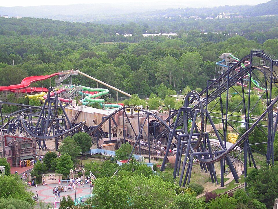
8 mi Theme parkMid America Adventure
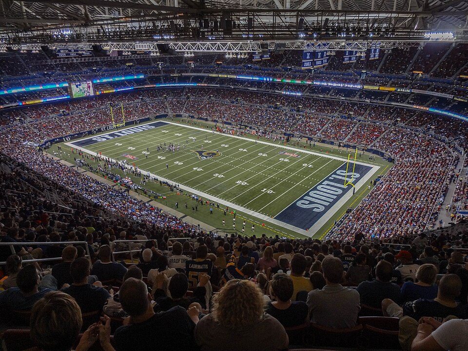
Big draw36 mi Stadium & arenaThe Dome at America's Center
35 mi Stadium & arenaBusch Stadium
35 mi National ParkGateway Arch National Park2.2M visitors a year
35 mi Stadium & arenaEnterprise Center
34 mi Stadium & arenaEnergizer ParkMid America Adventure: Chris Hagerman from New Port Richey, FL, US, CC BY 2.0 · The Dome at America's Center: Paul Sableman, CC BY 2.0 · Busch Stadium: Lee Ann Ratledge, CC BY 4.0 · Gateway Arch National Park: Daniel Schwen, CC BY-SA 4.0 · Enterprise Center: Haaron755, CC BY-SA 3.0 · Energizer Park: Cornfield948, CC BY-SA 3.0
1 within 15 miles of the center of Gray Summit
About 2 of every 100 Gray Summit residents are enrolled in college, against 6 across Missouri.
Where Gray Summit’s working residents go each day. Line width shows the share.
Census LEHD 2023
Census-designated place in Missouri, United States
Gray Summit is an unincorporated community and census-designated place (CDP) in Franklin County, Missouri, United States. As of the 2020 census, Gray Summit had a population of 3,055. Also called "Gray's Summit", it was founded by Daniel Gray of New York, who built a hotel here in 1845. It is located on Missouri Route 100 just north of Interstate 44.
From Wikipedia, licensed CC BY-SA 4.0 · facts via Wikidata (CC0)
One town shares a border with Gray Summit.
| Town | MO rank | Overall | Cost | Safety | Schools | Health |
|---|---|---|---|---|---|---|
| Gray Summit | #93 | B | A− | — | B− | C |
| Pacific | #131 | C+ | B | B− | B− | C+ |
Gray Summit reports no FBI crime data of its own. Compare Gray Summit with a neighbor →
Short answers, built from the data on this page.
By most measures, yes. Gray Summit grades B overall, better than 59% of U.S. towns and #93 of 247 in Missouri. It grades C for health and B− for schools. Hazard risk is its weak spot, with a C−.
Not for the area. Louis, MO-IL metro area). Cost of living, which also weighs rents, property taxes and how many households pay 30% or more of their income for housing, grades A−.