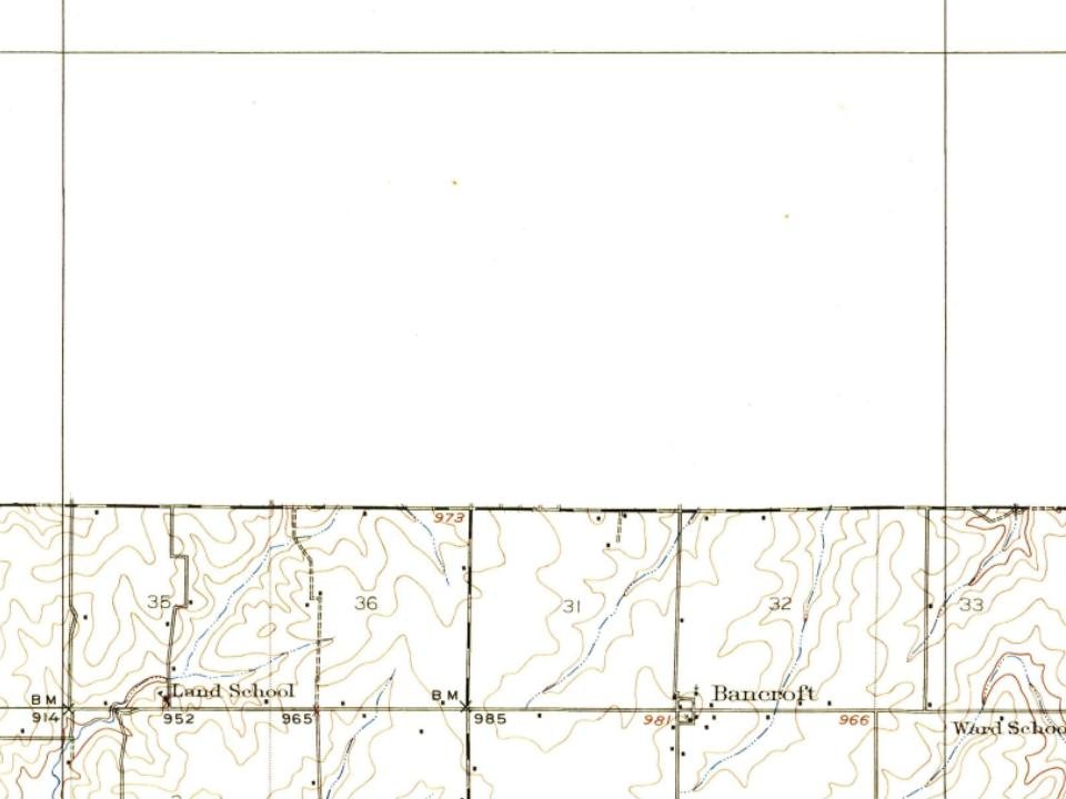
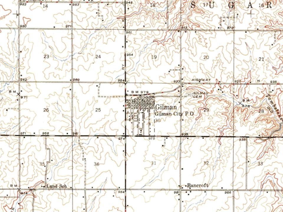
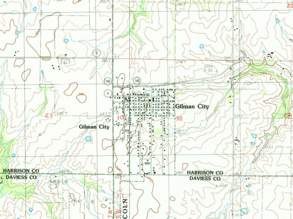
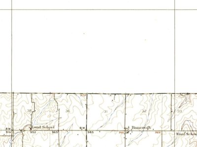
Gilman City was platted in 1897 when the railroad was extended to that point. A post office called Gilman City has been in operation since 1897. The city has the name of Theodore Gilman, a railroad banker. The city would continue to grow up until the removal of the railroad, which led to the slow decline of the town.
Passages that mention Gilman City, cut from the printed page as they were published.
History of Harrison County, Missouri1921 · page 165Read the page →
Read the text
Gilman City has a population of 618 and is located on section 30 in the Southeastern corner of Sugar Creek Township. The Quincy, Omaha & Kansas City Railway, which is a part of the Burlington System, passes through Gilman City. This is a progressive town of churches, good schools and enterprising business and professional men.
Text read by machine from the scan; it may contain errors.
History of Harrison County, Missouri1921 · page 442Read the page →
Read the text
State University of Kansas. In 1890 he came to Missouri and was engaged in farming in Harrison County until 1900, when he accepted a position with the Miner Frees Lumber Company. He held this position for about two years, and then was made manager of the Gilman City Yard, which place he has filled most successfully for nineteen years. The Miner Frees Lumber Yard in Gilman City covers five city lots, and carries a full line of building materials.
Text read by machine from the scan; it may contain errors.
Scans and text from the Internet Archive. Books published in 1930 or earlier, which are in the public domain.
Timeline
Gilman City, 1897 to 1925
Woven from the archive, old maps, post office records, the National Register and the people born here.
Founding dates: Wikidata, Wikipedia, the U.S. post office records of Blevins & Helbock (CC0) and the Census. Homes by year built: Census ACS 2020–24. National Register of Historic Places: National Park Service (list of May 22, 2026). Old photos, postcards and papers: Wikimedia Commons, the Library of Congress and other public archives, credited on each item’s page. Maps: U.S. Geological Survey historical topographic maps (via Esri) and Sanborn fire-insurance maps (Library of Congress). History text and census tables: Wikipedia (CC BY-SA 4.0). Places that used to be: USGS Geographic Names Information System (2021). How TownRatings grades history →
From Wikipedia, Wikidata and Wikipedia for famous people, U.S. Geological Survey historical maps, U.S. Census counts (via Wikipedia), the US Post Offices dataset (Blevins & Helbock), the USGS Geographic Names Information System, Sanborn fire insurance maps (Library of Congress) and old county and town histories (Internet Archive). Archive images are copied here with their credits and licenses, shown on each photo’s page. Refreshed monthly.