Half of Butler Township’s homes were built after 2004
Most of Butler Township was built recently: 0.0% of its homes predate 1940 and the median home dates from 2004. Below: maps from 1925 on and old-book passages.
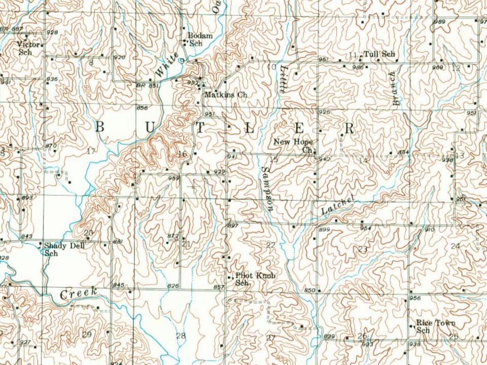
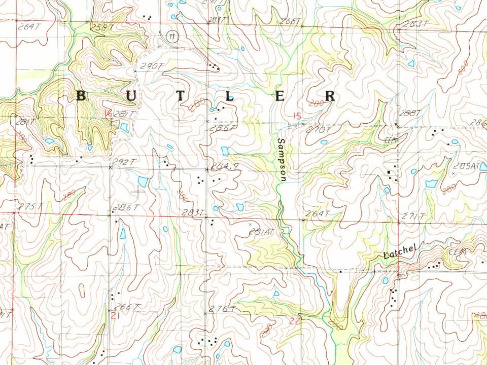
Every edition of the U.S. Geological Survey’s map of Butler Township. Tap a year, or press play to watch the town change.
1925Pattonsburg sheet · 1:62,500
U.S. Geological Survey historical topographic maps (public domain), via Esri’s collection of the scans. The red ring marks the center of Butler Township.
The story so far
Butler Township, in brief
Wikipedia doesn’t have a history of Butler Township yet. The photos, dates and memories neighbors add here are how it gets written.
Butler Township is a township in Harrison County, Missouri, United States. At the 2020 census, its population was 97. It was one of the three original townships. Butler Township has the name of Aseph M. Butler, a pioneer citizen. Butler is all part of congressional 62, range 29, lying within Harrison County.
Between the 2010 and 2020 censuses its population fell from 139 to 97 (-30%).
Intro from Wikipedia. Population: U.S. Census Bureau.
From the old history books
What they wrote about Butler Township in 1921
Passages that mention Butler Township, cut from the printed page as they were published.
Butler Township, named in honor of Aseph M. Butler, included an area with the following boundaries: Beginning at the county line on the divide between Cypress and Hickory Creeks, thence north with the divide six miles to the line between sections 25 and 36, thence west with said line to the west side of the county, thence south with the county line to the southwest corner of the county, thence east to the place of beginning.
Text read by machine from the scan; it may contain errors.
History of Harrison County, Missouri1921 · page 404Read the page →
Read the text
a short time in Carroll County near Brunswick, and came to Chillicothe about December 1, 1865, and to Harrison County in February, 1866, and bought a farm in Butler Township, (now Cypress Township), of 200 acres, where he made his home until 1885. He bought other land, and when he sold out, he had accumulated five hundred and forty acres. While living in this county, he also practiced medicine.
Text read by machine from the scan; it may contain errors.
Scans and text from the Internet Archive. Books published in 1930 or earlier, which are in the public domain.
Timeline
Butler Township, 1880 to 1925
Woven from the archive, old maps, post office records, the National Register and the people born here.
Founding dates: Wikidata, Wikipedia, the U.S. post office records of Blevins & Helbock (CC0) and the Census. Homes by year built: Census ACS 2020–24. National Register of Historic Places: National Park Service (list of May 22, 2026). Old photos, postcards and papers: Wikimedia Commons, the Library of Congress and other public archives, credited on each item’s page. Maps: U.S. Geological Survey historical topographic maps (via Esri) and Sanborn fire-insurance maps (Library of Congress). History text and census tables: Wikipedia (CC BY-SA 4.0). Places that used to be: USGS Geographic Names Information System (2021). How TownRatings grades history →
From U.S. Geological Survey historical maps, the US Post Offices dataset (Blevins & Helbock), the USGS Geographic Names Information System and old county and town histories (Internet Archive). Archive images are copied here with their credits and licenses, shown on each photo’s page. Refreshed monthly.