
Wrenshall Welcomes You, 2023
Wrenshall Township’s story
Wrenshall Township in pictures
The archive holds 2 old photos and papers going back to 2005.
Explore the history →Each edition grades its towns against each other only.

457 people call this town in Minnesota home.
Wrenshall Township’s January low is 1°F, below both the Minnesota town median (6°F) and the median of U.S. towns (22°F). Blackhoof River Wildlife Management Area, at 2,116 acres with 1.8 miles of trail, is the biggest park or preserve. Wrenshall Township has fewer than 1,000 residents, too few for fair grades; the figures below are still real.
In a town this size, neighbors are the best guide. Ask them anything.
The archive holds 2 old photos and papers going back to 2005.
Explore the history →Who provides power, water and the rest in Wrenshall Township, and how to reach them.
EPA SDWIS (Oct 9, 2026) · HIFLD + EIA-861 2025 · Census 2020 ZCTAs · NCES 2024–25 · registration: vote.gov, updated Nov 18, 2024.
Ordered by what stands out in Wrenshall Township.
4% of Wrenshall Township residents live below the poverty line. The top destinations are Duluth (28%), Cloquet (19%) and Carlton (7%). The town’s median household income stands at $79,000.
| Wrenshall Township | Minnesota towns | U.S. towns | |
|---|---|---|---|
| Average trip to work | 28 minutes | 23 minutes | 25 minutes |
| Below the poverty line | 4% | 7% | 9.6% |
| Median household income | $79,000 | $90,000 | $80,000 |
Census LEHD 2023 · ACS
In Wrenshall Township, the peak summer temperature is 79°F.
NOAA U.S. Climate Normals, 1991–2020
Federal disaster aid has reached households in Wrenshall Township after 2 declared disasters, most recently in 2018. Storm and flood damage is expected to run lower than in 65% of U.S. communities. Expected losses in Wrenshall Township break down as 60% from cold waves and 31% from inland flooding.
FEMA disaster declarations and aid · FEMA National Risk Index · OpenFEMA
27% of adults have been diagnosed with depression in Wrenshall Township. The share of adults in Wrenshall Township who binge drink: 19%.
| Wrenshall Township | Minnesota towns | U.S. towns | |
|---|---|---|---|
| Binge drink (CDC PLACES) | 19% | 18% | 16% |
| Depression (CDC PLACES) | 27% | 25% | 23% |
| Sleep under 7 hours (CDC PLACES) | 35% | 30% | 36% |
| Frequent mental distress (CDC PLACES) | 15% | 16% | 17% |
| What stands out | Wrenshall Township | MN |
|---|---|---|
| More older adults who have lost all their teeth | 12.7% | 8.9% |
| More adults sleeping under 7 hours | 34.5% | 29.2% |
| More adults who have had cancer | 9.9% | 8.5% |
CDC PLACES 2025 · modeled estimates for adults · CMS · HRSA
Across 2 parks and preserves: 11 miles of trail. Wrenshall Township’s trail network density comes in at 0.3 miles per square mile. Parks and preserves locally: 2, covering 2,277 acres.
| Wrenshall Township | Minnesota towns | U.S. towns | |
|---|---|---|---|
| Miles of trail per square mile | 0.3 miles per square mile | 0.5 | 0.4 |
| Conserved land | 4% | 4.7% | 4.3% |
| Biggest places to walk | Trails | Acres |
|---|---|---|
| 1. Blackhoof River Wildlife Management Area | 1.8 mi | 2,116 |
| 2. Wrenshall Wildlife Management Area | — | 161 |
Trails & parks © OpenStreetMap contributors · Conserved land: USGS PAD-US
Museums, parks, gardens and other places to visit around Wrenshall Township. Close and well known come first.
 20 mi MuseumLake Superior Railroad Museum
 20 mi Zoo & aquariumGreat Lakes Aquarium
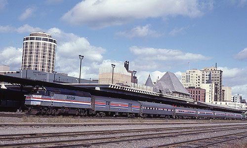 20 mi MuseumDuluth Depot15 mi Zoo & aquariumLake Superior Zoo
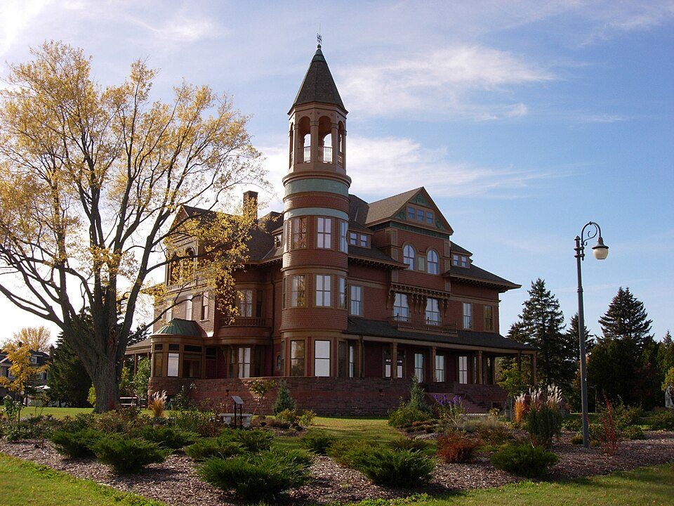 18 mi MuseumFairlawn Mansion
 21 mi MuseumLake Superior Maritime Visitor Center
Lake Superior Railroad Museum: User resedabear on Flickr, CC BY 2.0 · Great Lakes Aquarium: Tmajewski, Public domain · Duluth Depot: Hikki Nagasaki, Public domain · Fairlawn Mansion: Nfarmakes, CC BY-SA 4.0 · Lake Superior Maritime Visitor Center: McGhiever, CC BY-SA 4.0
1 within 15 miles of the center of Wrenshall Township
About 1 of every 100 Wrenshall Township residents are enrolled in college, against 6 across Minnesota.
Where Wrenshall Township’s working residents go each day. Line width shows the share.
Census LEHD 2023
City in Minnesota, United States
Wrenshall is a city in Carlton County, Minnesota, United States. It was originally a brickyard. The population was 428 at the 2020 census. Wrenshall is located just south of Jay Cooke State Park.
From Wikipedia, licensed CC BY-SA 4.0 · facts via Wikidata (CC0)
Short answers, built from the data on this page.
Wrenshall Township has fewer than 1,000 residents, too few for fair grades; the figures below are still real.


