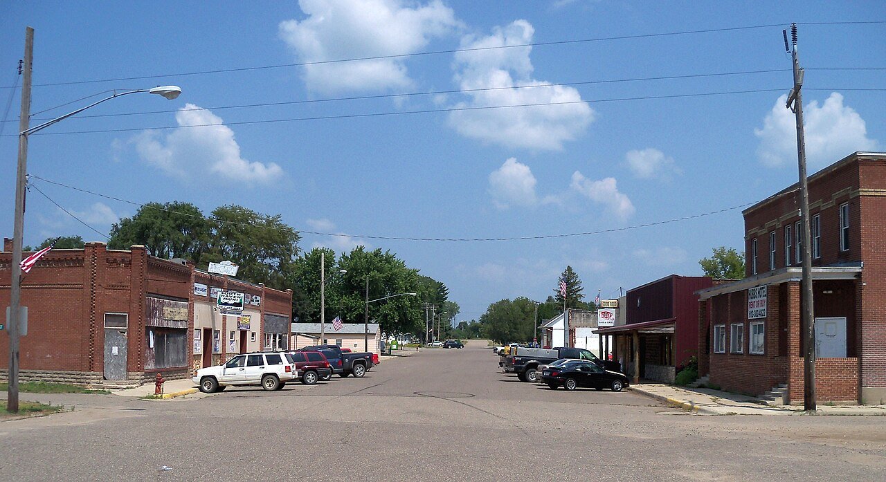
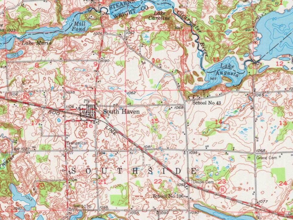
South Haven was platted in 1888 when the railroad was extended to that point. The city was so named for the fact it is located in Southside Township and due south of Fair Haven Township, Stearns County. A post office has been in operation at South Haven since 1887. South Haven was incorporated in 1902.
Passages that mention South Haven, cut from the printed page as they were published.
History of Wright County, Minnesota volume II1915 · page 804Read the page →
Read the text
ideal place for hunting, fishing and recreation, Its advantages in this respect are becoming more and more widely known. Since the coming of the railroad much of the activity of the town has centered in the village of South Haven, Before that the village of Fair Haven, in Stearns county, was the principal trading point. The first school taught in this town was by Mrs. Carrie Scoville, in 1860, at the residence of Thaddeus Robinson.
Text read by machine from the scan; it may contain errors.
History of Wright County, Minnesota volume II1915 · page 809Read the page →
Read the text
South Haven, as already noted. was incorporated in 1902, A petition was presented to the county board and the date of the election set for April 24, 1902. The election, which was in charge of L, C. Holmes, A. R. Kersten and John Maurer, and resulted in twenty-eight votes being cast in favor of incorporation and thirteen against it. At that time the census showed that there were 211 persons living in the village.
Text read by machine from the scan; it may contain errors.
Scans and text from the Internet Archive. Books published in 1930 or earlier, which are in the public domain.
Timeline
South Haven, 1887 to 1951
Woven from the archive, old maps, post office records, the National Register and the people born here.
Founding dates: Wikidata, Wikipedia, the U.S. post office records of Blevins & Helbock (CC0) and the Census. Homes by year built: Census ACS 2020–24. National Register of Historic Places: National Park Service (list of May 22, 2026). Old photos, postcards and papers: Wikimedia Commons, the Library of Congress and other public archives, credited on each item’s page. Maps: U.S. Geological Survey historical topographic maps (via Esri) and Sanborn fire-insurance maps (Library of Congress). History text and census tables: Wikipedia (CC BY-SA 4.0). Places that used to be: USGS Geographic Names Information System (2021). How TownRatings grades history →
From Wikipedia, U.S. Geological Survey historical maps, U.S. Census counts (via Wikipedia), the US Post Offices dataset (Blevins & Helbock), the USGS Geographic Names Information System and old county and town histories (Internet Archive). Archive images are copied here with their credits and licenses, shown on each photo’s page. Refreshed monthly.