Red Lake Falls was the site of a North West Company fur post as early as 1796 or 1797, making it one of the oldest sites of European occupation in the State of Minnesota. A French Canadian fur trader, Jean Baptiste Cadot, partner of the noted British-Canadian fur trader, Alexander Henry the elder, established the post as part of a strategy to ward off Hudson's Bay Company intrusion into the Red River Valley. The famous Canadian explorer David Thompson took shelter from a storm in Cadotte's cabin here in March 1798. The post was abandoned early in the 1800s, as British fur traders withdrew from United States territory.
Nothing in the archives for these yearsWeddings on Main Street, storms, parades, school pictures, the old store. If it’s in your family album, it belongs here.
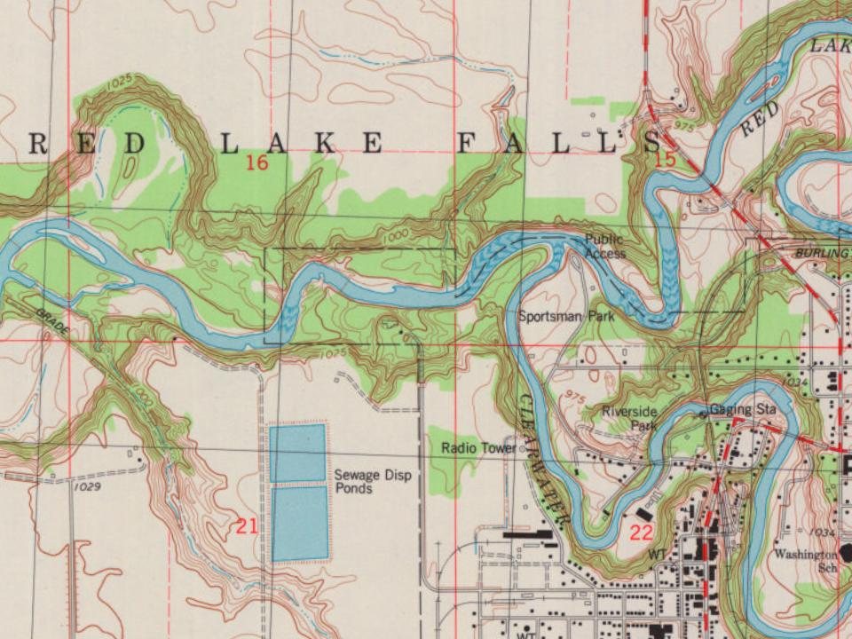
Every edition of the U.S. Geological Survey’s map of Red Lake Falls Township. Tap a year, or press play to watch the town change.
1952Red Lake Falls sheet · 1:62,500
U.S. Geological Survey historical topographic maps (public domain), via Esri’s collection of the scans. The red ring marks the center of Red Lake Falls Township.
Places that used to be
Old burying grounds
3cemeteries and burying grounds inside Red Lake Falls Township
CyrOak GroveSaint Josephs
Places and cemeteries from the USGS Geographic Names Information System (2021).
Stories next door
History across the town line
Each neighbor’s History grade, on the same three inputs.
Founding dates: Wikidata, Wikipedia, the U.S. post office records of Blevins & Helbock (CC0) and the Census. Homes by year built: Census ACS 2020–24. National Register of Historic Places: National Park Service (list of May 22, 2026). Old photos, postcards and papers: Wikimedia Commons, the Library of Congress and other public archives, credited on each item’s page. Maps: U.S. Geological Survey historical topographic maps (via Esri) and Sanborn fire-insurance maps (Library of Congress). History text and census tables: Wikipedia (CC BY-SA 4.0). Places that used to be: USGS Geographic Names Information System (2021). How TownRatings grades history →
From Wikimedia Commons (5), Wikidata (1), Wikipedia, U.S. Geological Survey historical maps, U.S. Census counts (via Wikipedia) and the USGS Geographic Names Information System. Archive images are copied here with their credits and licenses, shown on each photo’s page. Refreshed monthly.


 2021
 2007
 2007
 2005