
Photo · Wikimedia Commons
MNMap-doton-Moorhead
2005from the source
The original uploader was Catbar at English Wikipedia. · Wikimedia Commons · CC BY-SA 3.0
What neighbors know
Know something about this?
Lived nearby, know who’s pictured, or remember what it used to be? Add it here.
A memory or a clue…Sign in to add a memory
No memories yet. Know what stands here today, who is pictured, or when it was taken? Be the first.
Same decade
The whole archive →Moorhead in the 2000s
 2008Fly Tower Battens
 2009Defense.gov photo essay 090329-F-3188G-017
 2009Defense.gov photo essay 090330-F-3715H-022
 2009FEMA - 40390 - Aerial of flooded area in Minnesota
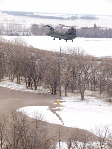 2009FEMA - 40392 - NG Helicopter ice breaking operation i…
 2009FEMA - 40413 - Flood waters up to the mailbox in Minn…
 2009FEMA - 40416 - Resident wades through water in Minnes…
 2009FEMA - 40434 - Mennonite volunteers working in Minnes…
 2009FEMA - 40476 - Aerial of flood effects in Minnesota
 2009FEMA - 40502 - Aerial of flooded homes in Minnesota
 2009FEMA - 40520 - Massive sandbagging efforts paying off…
Archive images are copied here with their credits and licenses. The original at Wikimedia Commons.