The Garvin post office opened in 1891, the earliest record of the town by name. Another post office, Seefield (1887), opened inside today’s city and later closed.
First census: 264 in 19502020 census: 124135 years
Founding year: the first Garvin post office (Blevins & Helbock, CC0).The full story ↓
What stands out about Garvin’s past
Read from the archive, the National Register and the record. The page puts what stands out first.
Garvin was originally called Terry, for Union general Alfred Terry, and under the latter name was platted in 1886 by the railroad. The present name, for H. C. Garvin, a railroad official, was adopted in 1881.
Passages that mention Garvin, cut from the printed page as they were published.
An illustrated history of Lyon County, Minnesota1912Read the page →
Read the text
Garvin has an excellent school, with three instructors and about eighty-five pupils. Before the village of Garvin was founded, on December 3, 1879, district No. 47 was organized.18 The first teacher of the school was Annie (i.
Text read by machine from the scan; it may contain errors.
An illustrated history of Lyon County, Minnesota1912Read the page →
Read the text
Mr. Jones has served as postmaster of Garvin since September, 1900, and he has edited the Garvin Leader since June, 1911. He is treasurer of the Garvin Creamery Company, secretary of the local Board of Education, and one of the directors of
Text read by machine from the scan; it may contain errors.
Scans and text from the Internet Archive. Books published in 1930 or earlier, which are in the public domain.
Timeline
Garvin, 1887 to 1967
Woven from the archive, old maps, post office records, the National Register and the people born here.
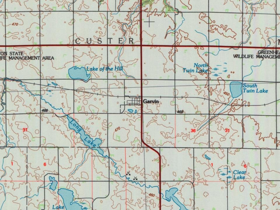
Founding dates: Wikidata, Wikipedia, the U.S. post office records of Blevins & Helbock (CC0) and the Census. Homes by year built: Census ACS 2020–24. National Register of Historic Places: National Park Service (list of May 22, 2026). Old photos, postcards and papers: Wikimedia Commons, the Library of Congress and other public archives, credited on each item’s page. Maps: U.S. Geological Survey historical topographic maps (via Esri) and Sanborn fire-insurance maps (Library of Congress). History text and census tables: Wikipedia (CC BY-SA 4.0). Places that used to be: USGS Geographic Names Information System (2021). How TownRatings grades history →
From Wikipedia, U.S. Geological Survey historical maps, U.S. Census counts (via Wikipedia), the US Post Offices dataset (Blevins & Helbock), the USGS Geographic Names Information System and old county and town histories (Internet Archive). Archive images are copied here with their credits and licenses, shown on each photo’s page. Refreshed monthly.