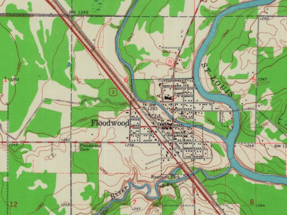
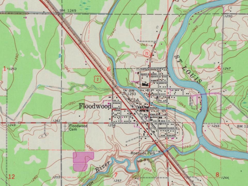
Long before the city of Floodwood existed, the intersection of the East Savanna River with the Saint Louis River made what later became Floodwood a strategic economic location. The Savanna Portage was a major route for transportation in the southern Arrowhead, but its importance was magnified greatly with the arrival of European fur traders, who used the route to access rich resources of beaver and other fur animals in the upper Mississippi valley. As early as 1679, Europeans were passing by the modern location of Floodwood as they turned from the Saint Louis River to the East Savanna River on their way to the portage.
Founding dates: Wikidata, Wikipedia, the U.S. post office records of Blevins & Helbock (CC0) and the Census. Homes by year built: Census ACS 2020–24. National Register of Historic Places: National Park Service (list of May 22, 2026). Old photos, postcards and papers: Wikimedia Commons, the Library of Congress and other public archives, credited on each item’s page. Maps: U.S. Geological Survey historical topographic maps (via Esri) and Sanborn fire-insurance maps (Library of Congress). History text and census tables: Wikipedia (CC BY-SA 4.0). Places that used to be: USGS Geographic Names Information System (2021). How TownRatings grades history →
From Wikimedia Commons (6), Wikipedia, Wikidata and Wikipedia for famous people, U.S. Geological Survey historical maps, U.S. Census counts (via Wikipedia), the US Post Offices dataset (Blevins & Helbock) and the USGS Geographic Names Information System. Archive images are copied here with their credits and licenses, shown on each photo’s page. Refreshed monthly.

 2025
 2025
 2021
 2012
 2012
 2005