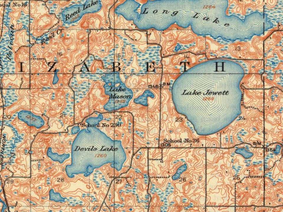
Most of Elizabeth Township was built recently: 10% of its homes predate 1940 and the median home dates from 1989. Below: maps from 1913 on and the census since 1880.
Elizabeth was platted in 1872, and named for Elizabeth Niggler, the wife of an early settler. A post office was established under the name Elizabethtown in 1871, and the name was changed to Elizabeth in 1882.
Every edition of the U.S. Geological Survey’s map of Elizabeth Township. Tap a year, or press play to watch the town change.
1913Fergus Falls sheet · 1:62,500
U.S. Geological Survey historical topographic maps (public domain), via Esri’s collection of the scans. The red ring marks the center of Elizabeth Township.
People over time
Elizabeth Township, census by census
Between 128 and 204 people in every census since 1880.
15 censuses, 1880–2020.
U.S. Census Bureau decennial counts, from the census table on Elizabeth Township’s Wikipedia page.
Places that used to be
Lost post offices, places now gone and burying grounds
Another post office, Sverre, opened and closed inside today’s town.
Gone or out of use
School Number 203schoolSchool Number 208schoolSchool Number 230schoolSchool Number 36schoolSverre Post Officepost office
2cemeteries and burying grounds inside Elizabeth Township
German EvangelicalZion Elizabeth
US Post Offices dataset (Blevins & Helbock, CC0). Places and cemeteries from the USGS Geographic Names Information System (2021).
Stories next door
History across the town line
Each neighbor’s History grade, on the same three inputs.
In 1872, according to Wikipedia’s history of the town. Elizabeth Township’s post office opened in 1900, and the census of 1880 counted 128 people here.
Founding dates: Wikidata, Wikipedia, the U.S. post office records of Blevins & Helbock (CC0) and the Census. Homes by year built: Census ACS 2020–24. National Register of Historic Places: National Park Service (list of May 22, 2026). Old photos, postcards and papers: Wikimedia Commons, the Library of Congress and other public archives, credited on each item’s page. Maps: U.S. Geological Survey historical topographic maps (via Esri) and Sanborn fire-insurance maps (Library of Congress). History text and census tables: Wikipedia (CC BY-SA 4.0). Places that used to be: USGS Geographic Names Information System (2021). How TownRatings grades history →
From Wikimedia Commons (3), Wikidata (1), Wikipedia, U.S. Geological Survey historical maps, U.S. Census counts (via Wikipedia), the US Post Offices dataset (Blevins & Helbock) and the USGS Geographic Names Information System. Archive images are copied here with their credits and licenses, shown on each photo’s page. Refreshed monthly.
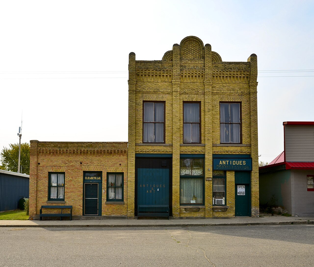
 2012
 2009
 2005