Passages that mention Elgin Township, cut from the printed page as they were published.
History of Wabasha County, Minnesota1920 · page 450Read the page →
Read the text
and for four years subsequently he followed agriculture on his own account on rented farms. In 1897 he bought his first farm property — a farm of 80 acres near Hammond — on which he lived for nine years. He then sold it and pur¬ chased a farm of 240 acres, 160 of which lie in Elgin Township and 80 in Oakwood Township. On that place he did mixed farming until 1914, when he again sold, buying his present farm of 305 acres in section 19, Elgin Township, which is now managed by his son, Mr. Siewart’s health not permitting him to work.
Text read by machine from the scan; it may contain errors.
History of Wabasha County, Minnesota1920 · page 525Read the page →
Read the text
his fortune in the “'New World,” and rightly deciding upon the Northwest as offering the best field of opportunity, he came to Minnesota, settling first in Olmsted County, where he remained for one year. Then coming to Wabasha County, he located in Elgin Township, where he found employment and began to accumulate a little capital with an eye to future independence. In 1885 he invested his money in 240 acres of land in the township, which land by 1891 he had developed into a fine farm with an excellent set of buildings. He then sold it and bought another, of 160 acres, near the village of Elgin, on which he
Text read by machine from the scan; it may contain errors.
Scans and text from the Internet Archive. Books published in 1930 or earlier, which are in the public domain.
By decade
No old photos in the archives yet
Weddings on Main Street, storms, parades, school pictures, the old store. If it’s in your family album, it belongs here.
Be the first to add onePhotograph a print flat, in daylight, no flash.
Every edition of the U.S. Geological Survey’s map of Elgin Township. Tap a year, or press play to watch the town change.
1934Plainview sheet · 1:62,500
U.S. Geological Survey historical topographic maps (public domain), via Esri’s collection of the scans. The red ring marks the center of Elgin Township.
On the National Register
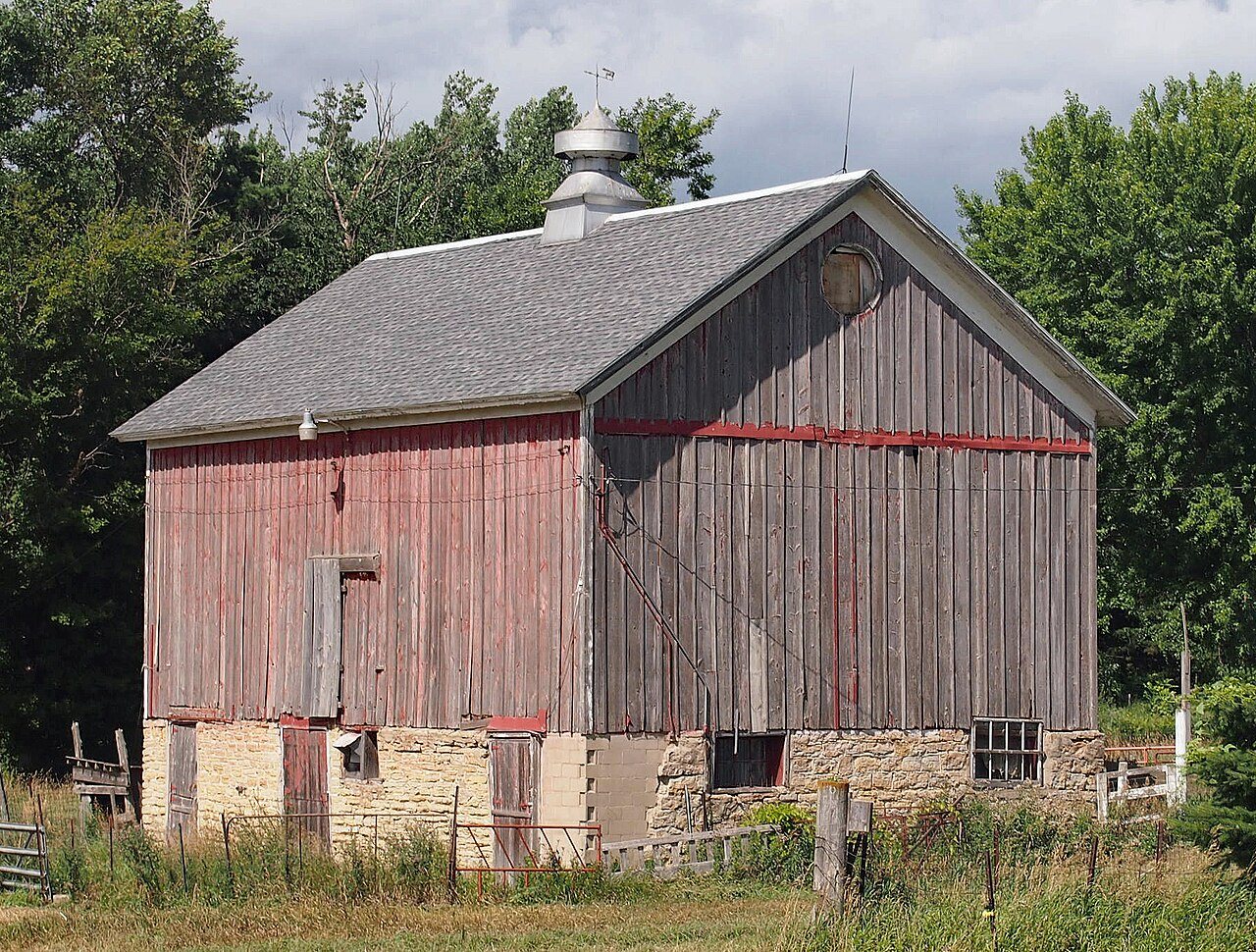
1 historic place in Elgin Township
The country’s official list of buildings and places worth saving.
Founding dates: Wikidata, Wikipedia, the U.S. post office records of Blevins & Helbock (CC0) and the Census. Homes by year built: Census ACS 2020–24. National Register of Historic Places: National Park Service (list of May 22, 2026). Old photos, postcards and papers: Wikimedia Commons, the Library of Congress and other public archives, credited on each item’s page. Maps: U.S. Geological Survey historical topographic maps (via Esri) and Sanborn fire-insurance maps (Library of Congress). History text and census tables: Wikipedia (CC BY-SA 4.0). Places that used to be: USGS Geographic Names Information System (2021). How TownRatings grades history →
From the National Register of Historic Places (1), Wikipedia, U.S. Geological Survey historical maps, U.S. Census counts (via Wikipedia) and old county and town histories (Internet Archive). Archive images are copied here with their credits and licenses, shown on each photo’s page. Refreshed monthly.