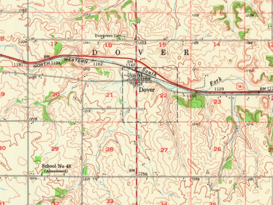
The Dover post office opened in 1858, the earliest record of the town by name. Another post office, Dover Centre (1868), opened inside today’s city and later closed.
First census: 231 in 18802020 census: 782168 years
Founding year: the first Dover post office (Blevins & Helbock, CC0).The full story ↓
What stands out about Dover’s past
Read from the archive, the National Register and the record. The page puts what stands out first.
Passages that mention Dover, cut from the printed page as they were published.
History of Olmsted County, Minnesota1910 · page 45Read the page →
Read the text
George C. Sheeks was one of the earliest settlers of Dover township and one of the founders of the village of Dover Center. He was prominent in township affairs. He died in July, 1889.
Text read by machine from the scan; it may contain errors.
History of Olmsted County, Minnesota1910 · page 476Read the page →
Read the text
in youth attended the district schools, finishing at Darling's Business College, Rochester. For four winter terms he taught school in the country districts before he took his business course at Darling's college. In 1885 he came to Dover and accepted a clerkship in the Dover bank, which position he held until 1898, when he was promoted to his present position as cashier. He is one of the directors of the bank, and is also secretary and treasurer of the Creamery Association at Dover. He has served as town treas-
Text read by machine from the scan; it may contain errors.
Scans and text from the Internet Archive. Books published in 1930 or earlier, which are in the public domain.
Timeline
Dover, 1858 to 1954
Woven from the archive, old maps, post office records, the National Register and the people born here.
Founding dates: Wikidata, Wikipedia, the U.S. post office records of Blevins & Helbock (CC0) and the Census. Homes by year built: Census ACS 2020–24. National Register of Historic Places: National Park Service (list of May 22, 2026). Old photos, postcards and papers: Wikimedia Commons, the Library of Congress and other public archives, credited on each item’s page. Maps: U.S. Geological Survey historical topographic maps (via Esri) and Sanborn fire-insurance maps (Library of Congress). History text and census tables: Wikipedia (CC BY-SA 4.0). Places that used to be: USGS Geographic Names Information System (2021). How TownRatings grades history →
From Wikidata (1), the National Register of Historic Places (1), Wikipedia, U.S. Geological Survey historical maps, U.S. Census counts (via Wikipedia), the US Post Offices dataset (Blevins & Helbock), the USGS Geographic Names Information System and old county and town histories (Internet Archive). Archive images are copied here with their credits and licenses, shown on each photo’s page. Refreshed monthly.