Lost post offices, old corners, places now gone and burying grounds
Two other post offices opened and closed inside today’s town.
Freeburg
1858–1947
Reno
1880–1935
18501940today
Hamlets and corners on the map
FreeburgReno
Gone or out of use
Freeburg Post Officepost officeReno Post Officepost office
3cemeteries and burying grounds inside Crooked Creek Township
Church of PeaceOld MethodistSaint Nicholas Catholic
US Post Offices dataset (Blevins & Helbock, CC0). Places and cemeteries from the USGS Geographic Names Information System (2021).
The story so far
Crooked Creek Township, in brief
Wikipedia doesn’t have a history of Crooked Creek Township yet. The photos, dates and memories neighbors add here are how it gets written.
Crooked Creek Township is a township in Houston County, Minnesota, United States. The population was 285 at the 2010 census. The unincorporated community of Reno is located in the township. Crooked Creek Township was organized in 1858, and named from Crooked Creek.
Between the 2010 and 2020 censuses its population fell from 285 to 252 (-12%).
Intro from Wikipedia. Population: U.S. Census Bureau.
From the old history books
What they wrote about Crooked Creek Township in 1919
Passages that mention Crooked Creek Township, cut from the printed page as they were published.
History of Houston County, Minnesota1919 · page 144Read the page →
Read the text
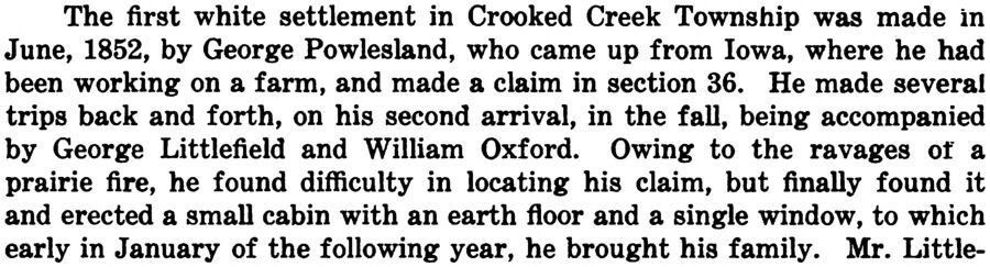
The first white settlement in Crooked Creek Township was made in June, 1852, by George Powlesland, who came up from Iowa, where he had been working on a farm, and made a claim in section 36. He made several trips back and forth, on his second arrival, in the fall, being accompanied by George Littlefield and William Oxford. Owing to the ravages of a prairie fire, he found difficulty in locating his claim, but finally found it and erected a small cabin with an earth floor and a single window, to which early in January of the following year, he brought his family. Mr. Little-
Text read by machine from the scan; it may contain errors.
Scans and text from the Internet Archive. Books published in 1930 or earlier, which are in the public domain.
Timeline
Crooked Creek Township, 1858 to 1956
Woven from the archive, old maps, post office records, the National Register and the people born here.
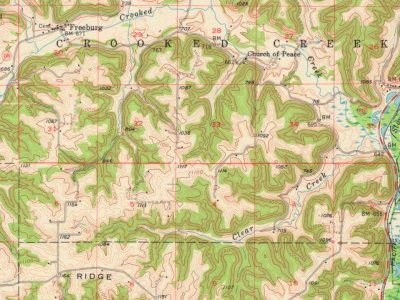
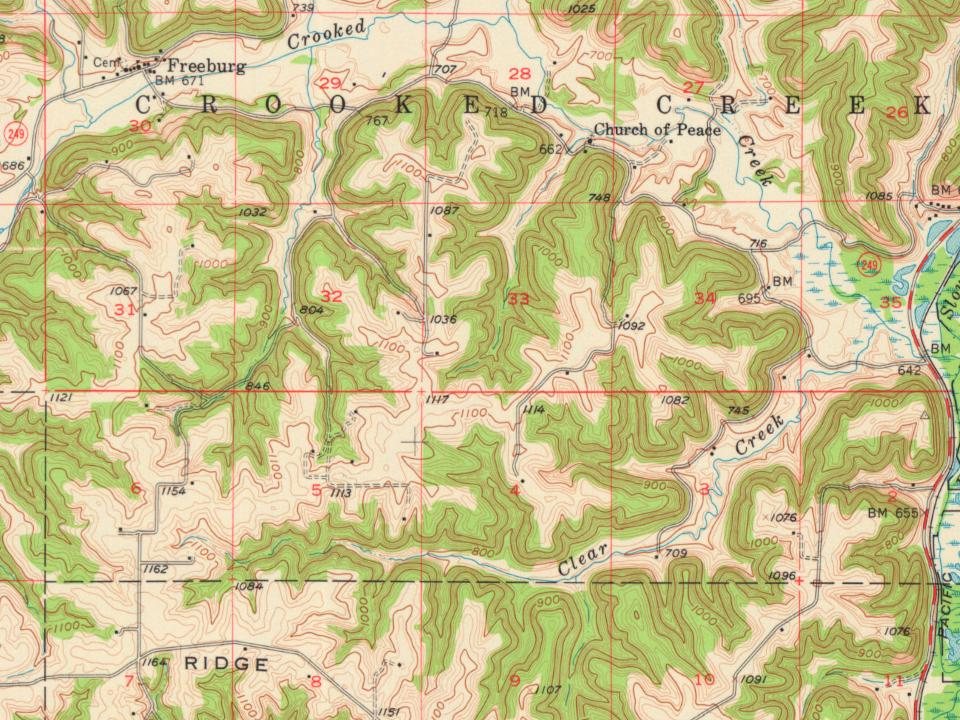
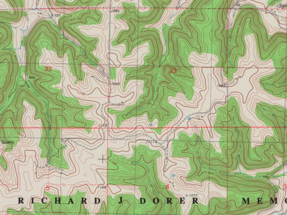
Every edition of the U.S. Geological Survey’s map of Crooked Creek Township. Tap a year, or press play to watch the town change.
1956Brownsville sheet · 1:62,500
U.S. Geological Survey historical topographic maps (public domain), via Esri’s collection of the scans. The red ring marks the center of Crooked Creek Township.
Famous people
Famous people close to Crooked Creek Township
Nobody well known was born in Crooked Creek Township itself, so here are the best known from just nearby.
Founding dates: Wikidata, Wikipedia, the U.S. post office records of Blevins & Helbock (CC0) and the Census. Homes by year built: Census ACS 2020–24. National Register of Historic Places: National Park Service (list of May 22, 2026). Old photos, postcards and papers: Wikimedia Commons, the Library of Congress and other public archives, credited on each item’s page. Maps: U.S. Geological Survey historical topographic maps (via Esri) and Sanborn fire-insurance maps (Library of Congress). History text and census tables: Wikipedia (CC BY-SA 4.0). Places that used to be: USGS Geographic Names Information System (2021). How TownRatings grades history →
From U.S. Geological Survey historical maps, the US Post Offices dataset (Blevins & Helbock), the USGS Geographic Names Information System and old county and town histories (Internet Archive). Archive images are copied here with their credits and licenses, shown on each photo’s page. Refreshed monthly.