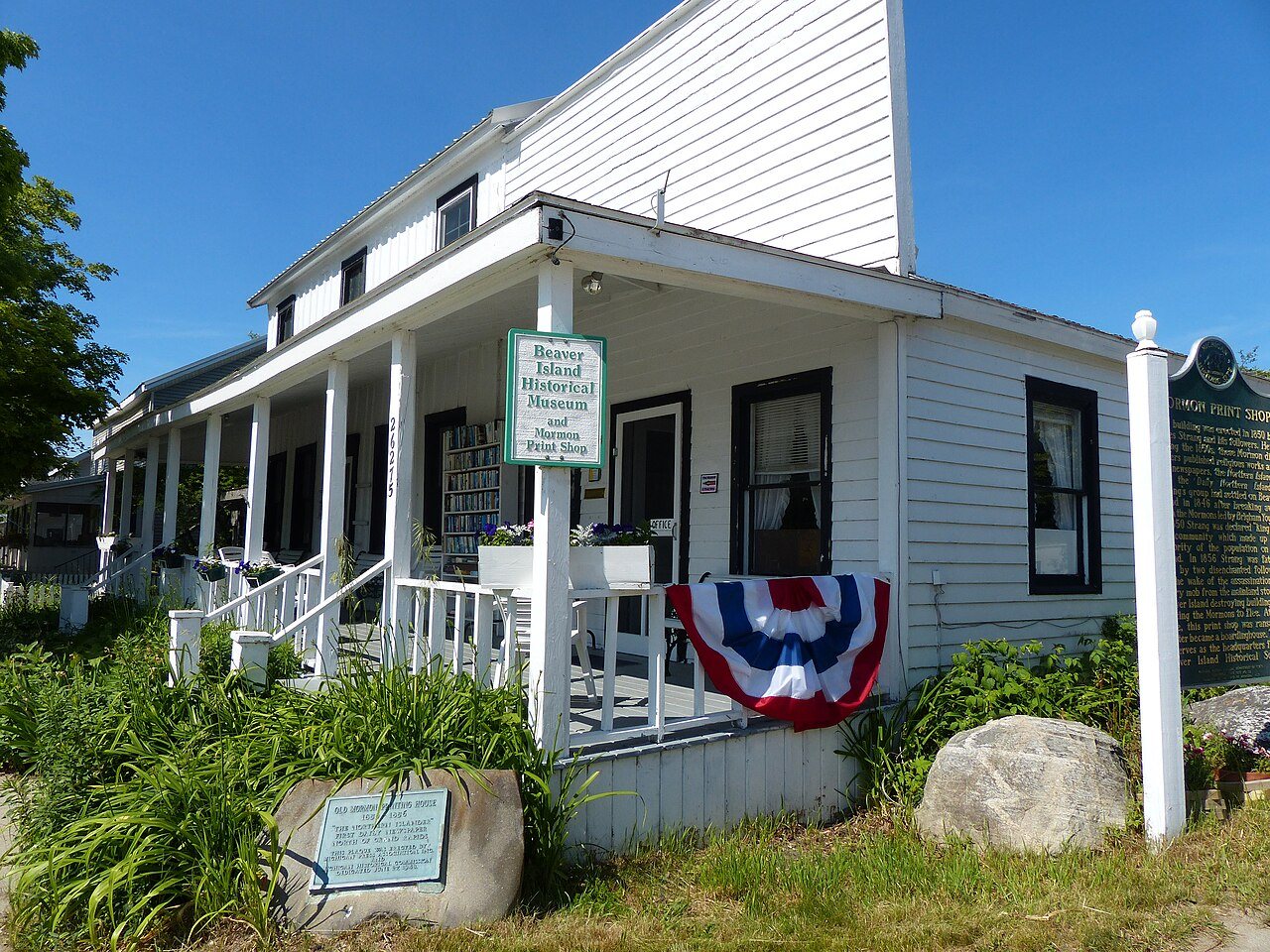
Mormon Print Shop · National Register of Historic Places
St. James Township’s story
131 years in pictures
1 place on the National Register of Historic Places.
- 1895St. James Township is settled
Each edition grades its towns against each other only.

A town of 257, settled in 1895.
The biggest place to walk is Beaver Islands State Wildlife Research Area, 11,186 acres with 16 miles of trail. St. James Township has fewer than 1,000 residents, too few for fair grades; the figures below are still real.
In a town this size, neighbors are the best guide. Ask them anything.
1 place on the National Register of Historic Places.
Who provides power, water and the rest in St. James Township, and how to reach them.
EPA SDWIS (Oct 9, 2026) · HIFLD + EIA-861 2025 · Census 2020 ZCTAs · NCES 2024–25 · registration: vote.gov, updated Sep 12, 2025.
Ordered by what stands out in St. James Township.
St. James Township’s FEMA hazard score comes in at 4 of 100. Of the losses FEMA expects locally, 71% come from inland flooding and 21% from cold waves. Expected storm and flood damage is lower than in 96% of U.S. communities.
FEMA National Risk Index · OpenFEMA
Public schools: Beaver Island Community School. Its one school is below. Enrollment at St. James Township’s public school: 50 students.
| School | Level | Students | Letter |
|---|---|---|---|
| Beaver Island Community SchoolLargest public high schoolGrades PK–12 | Grades PK–12 | 50 | B+ |
NCES · EDFacts
Between 2011 and 2021, jobs in St. James Township rose by 51, to 102. Only 8 of the 702 Michigan towns we compare have a higher share of working residents who work in town than St. James Township. The top destinations are Peaine Township (11%), East Jordan (4%) and Elk Rapids Township (3%). The middle household income for St. James Township comes to $63,000, where Michigan’s towns sit at $77,000 and U.S. towns at $80,000.
| St. James Township | Michigan towns | U.S. towns | |
|---|---|---|---|
| Average trip to work | 9 minutes | 25 minutes | 25 minutes |
| Working residents who work in town | 41% | 5.9% | 8% |
| Median household income | $63,000 | $77,000 | $80,000 |
| Below the poverty line | 10% | 8.9% | 9.6% |
Census LEHD 2021 · ACS
In St. James Township, the trail density is 0.1 miles per square mile. Trails total 24 miles in 7 parks and preserves.
| St. James Township | Michigan towns | U.S. towns | |
|---|---|---|---|
| Miles of trail per square mile | 0.1 miles per square mile | 0.3 | 0.4 |
| Conserved land | 5.3% | 4.4% | 4.3% |
| Biggest places to walk | Trails | Acres |
|---|---|---|
| 1. Beaver Islands State Wildlife Research Area | 16 mi | 11,186 |
| 2. Michigan Islands National Wildlife Refuge | — | 282 |
| 3. George and Althea Petritz Nature Preserve | 0.2 mi | 28 |
Trails & parks © OpenStreetMap contributors · Conserved land: USGS PAD-US
None within 15 miles of St. James Township; the nearest are
About 0 of every 100 St. James Township residents are enrolled in college, against 6 across Michigan.
Census-designated place & unincorporated community in Michigan, United States
St. James is an unincorporated community and census-designated place (CDP) in Charlevoix County in the U.S. state of Michigan. The population of the CDP was 145 at the 2020 census. The community is located within St. James Township. Located on the northern coast of Beaver Island in Lake Michigan, St. James was the county seat of Manitou County during the county's existence from 1855 to 1895.
From Wikipedia, licensed CC BY-SA 4.0 · facts via Wikidata (CC0)
Short answers, built from the data on this page.
St. James Township has fewer than 1,000 residents, too few for fair grades; the figures below are still real.