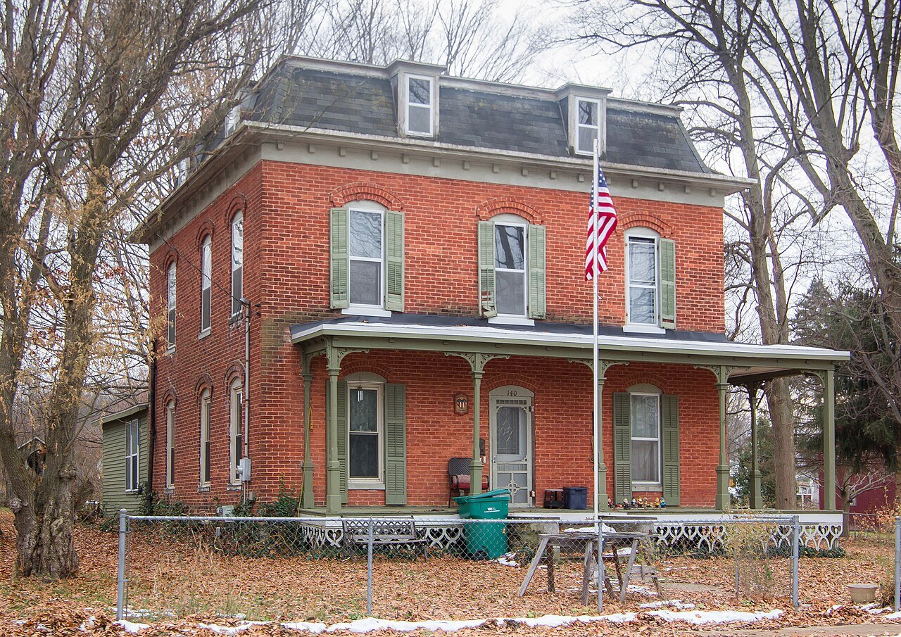
The community was originally called Hazenville when it was formed from the farmland of E. F. Hazen in 1832. When a post office began operating on March 8, 1833, it was named Durham. It was ultimately renamed to Sherwood on June 10, 1839. It was named after one of the first settlers, Alexander Tomlinson, who came from Sherwood Forest, England. The Sherwood post office closed on December 4, 1866. The nearby Newstead post office, which was established in early 1867, was transferred here and took over the Sherwood name on April 16, 1868. The Michigan Central Railroad built a line through the community in 1871. Sherwood incorporated as a village in 1887.
Peaked at 447 in 1890; 285 people lived here in 2020.
15 censuses, 1880–2020.
U.S. Census Bureau decennial counts, from the census table on Sherwood’s Wikipedia page.
From the old history books
What they wrote about Sherwood in 1879
Passages that mention Sherwood, cut from the printed page as they were published.
History of Branch county, Michigan, with illustrations and biographical sketches of some of its prominent men and pioneers1879 · page 338Read the page →
Read the text
The township of Sherwood was organized in the year 1836, by act of the Legislature, and included also the present township of Union, which was separately orgaaized the succeeding year (1837). Sherwood was named at the instance of its first settler, Alexander E. Tomlinson, from Sherwood Forest, in England. When it is remembered that less than half a century has passed since this township was .settled, the following figures from the State census of
Text read by machine from the scan; it may contain errors.
History of Branch county, Michigan, with illustrations and biographical sketches of some of its prominent men and pioneers1879 · page 348Read the page →
Read the text
The growth of the village of Sherwood has been remarkable, and illustrates what " might have been" had the railroad been constructed through here many years ago, as originally surveyed. As an agricultural township Sherwood ranks high, and those of her first settlers who are now living can view with pride the home of their adoption, with its broad and fertile fields and excellent improvements.
Text read by machine from the scan; it may contain errors.
Scans and text from the Internet Archive. Books published in 1930 or earlier, which are in the public domain.
By decade
No old photos in the archives yet
Weddings on Main Street, storms, parades, school pictures, the old store. If it’s in your family album, it belongs here.
Be the first to add onePhotograph a print flat, in daylight, no flash.
Founding dates: Wikidata, Wikipedia, the U.S. post office records of Blevins & Helbock (CC0) and the Census. Homes by year built: Census ACS 2020–24. National Register of Historic Places: National Park Service (list of May 22, 2026). Old photos, postcards and papers: Wikimedia Commons, the Library of Congress and other public archives, credited on each item’s page. Maps: U.S. Geological Survey historical topographic maps (via Esri) and Sanborn fire-insurance maps (Library of Congress). History text and census tables: Wikipedia (CC BY-SA 4.0). Places that used to be: USGS Geographic Names Information System (2021). How TownRatings grades history →
From Wikipedia, U.S. Census counts (via Wikipedia) and old county and town histories (Internet Archive). Archive images are copied here with their credits and licenses, shown on each photo’s page. Refreshed monthly.