
Northside (Castle) Park, 2009
Otsego Township’s story
195 years in pictures
Census counts: 994 in 1870, 4,120 in 2020. The archive holds 3 old photos and papers going back to 2005 and 4 maps from 1916 on.
- 1831Otsego Township is settled
Each edition grades its towns against each other only.
Where it does best is schools: its schools outperform 85% of the state's. It also does well on incomes: the median household earns $74K. Homes run about $265K for a typical one, 3.2 times the Holland area’s $83K median household income. The overall grade lands at B+, 217th of 697 in Michigan. On that grade it does better than 72% of U.S. towns. The biggest park or preserve is Allegan State Game Area, at 1,049 acres. Only 107 of Michigan’s 1,279 towns score lower on hazard risk. Otsego Township’s average trip to work is 19 minutes, where Michigan’s towns sit at 25 minutes and U.S. towns at 25 minutes.
Figures: schools, state test and graduation results · incomes, Census ACS, 2020–24 · home values, Zillow · FEMA National Risk Index · OpenStreetMap.
Where Otsego Township beats most towns.
Where Otsego Township’s working residents go each day. Line width shows the share.
Census LEHD 2021
Each subject compared with towns across the country (schools within Michigan), ordered by how far Otsego Township is from typical.
How TownRatings grades towns →
Census counts: 994 in 1870, 4,120 in 2020. The archive holds 3 old photos and papers going back to 2005 and 4 maps from 1916 on.
Who provides power, water and the rest in Otsego Township, and how to reach them.
EPA SDWIS (Oct 9, 2026) · HIFLD + EIA-861 2025 · Census 2020 ZCTAs · NCES 2024–25 · registration: vote.gov, updated Sep 12, 2025.
Ordered by what stands out in Otsego Township.
Otsego Township gets more snow than nearly all U.S. towns, but it has lost a quarter or more of its jobs in ten years.
Jobs based here fell from 1,938 in 2011 to 1,319.
Only 4% of working residents stay in Otsego Township for work; the rest commute out. Jobs based in the town fell to 1,319 in 2021, 619 fewer than in 2011. Half of commuters travel less than 15 miles. The top destinations are Kalamazoo (11%), Allegan (8%) and Otsego (7%).
| Otsego Township | Michigan towns | U.S. towns | |
|---|---|---|---|
| Average trip to work | 19 minutes | 25 minutes | 25 minutes |
| Working residents who work in town | 3.7% | 5.9% | 8% |
| Work from home | 9.6% | 10% | 11% |
Census LEHD 2021 · ACS
The Bloomingdale weather station, 13 miles away, records that 109 inches of snow fall in a normal winter, more than in 98% of U.S. towns.
July afternoons reach 83° and January nights drop to 18°.
NOAA U.S. Climate Normals, 1991–2020
The median age in Otsego Township is 46.4 years. Adults 35 to 64 are 46% of residents (38% statewide); children under 18 are 16% of residents (21% statewide). College graduates make up 27% of adults 25 and older, against 32% across Michigan.
| Otsego Township | Michigan towns | U.S. towns | |
|---|---|---|---|
| Under 18 | 16% | 21% | 22% |
| Median age | 46.4 years | 42.5 years | 40.5 years |
51% women, 49% men
That’s an even split within the survey’s margin of ±3.5 points. Across Michigan, 50.4% of residents are women.
| Otsego Township | MI | U.S. | |
|---|---|---|---|
| Under 10 | 7.1% | 11.2% | 11.6% |
| 10 to 17 | 9.3% | 10.1% | 10.3% |
| 18 to 24 | 8.2% | 9.2% | 9.1% |
| 25 to 34 | 10.2% | 13.2% | 13.7% |
| 35 to 44 | 12.4% | 12.2% | 13.2% |
| 45 to 54 | 13.5% | 12% | 12.2% |
| 55 to 64 | 20.1% | 13.6% | 12.7% |
| 65 to 74 | 9.6% | 11.2% | 10.2% |
| 75 and older | 9.6% | 7.4% | 7% |
| No diploma | 3.9% | 7.9% | 10.4% |
| High school | 35.5% | 28% | 26% |
| Some college | 25% | 21.9% | 19.1% |
| Associate’s | 8.6% | 9.8% | 8.8% |
| Bachelor’s | 18.5% | 19.7% | 21.6% |
| Graduate | 8.6% | 12.7% | 14.1% |
U.S. Census Bureau · ACS 2020-2024 5-year estimates
1.2 miles of trail wind through 1 park or preserve.
| Biggest places to walk | Trails | Acres |
|---|---|---|
| 1. Allegan State Game Area | 0.1 mi | 1,049 |
Trails & parks © OpenStreetMap contributors · Conserved land: USGS PAD-US
Otsego Township’s FEMA hazard score comes in at 54 of 100. Expected losses in Otsego Township break down as 72% from inland flooding and 12% from tornadoes. The national flood insurance program has paid one claim locally since 2009.
FEMA National Risk Index · OpenFEMA
27% of adults have been diagnosed with depression in Otsego Township. In Otsego Township, nearly a third of adults sleep under 7 hours.
| Otsego Township | Michigan towns | U.S. towns | |
|---|---|---|---|
| Sleep under 7 hours (CDC PLACES) | 32% | 34% | 36% |
| Binge drink (CDC PLACES) | 18% | 17% | 16% |
| Depression (CDC PLACES) | 27% | 27% | 23% |
| Smoke cigarettes (CDC PLACES) | 16% | 15% | 14% |
| What stands out | Otsego Township | MI |
|---|---|---|
| Fewer adults facing a utility shut-off | 7.3% | 8.7% |
| Fewer adults facing housing insecurity | 10.1% | 11.9% |
CDC PLACES 2025 · modeled estimates for adults · CMS · HRSA
Museums, parks, gardens and other places to visit around Otsego Township. Close and well known come first.
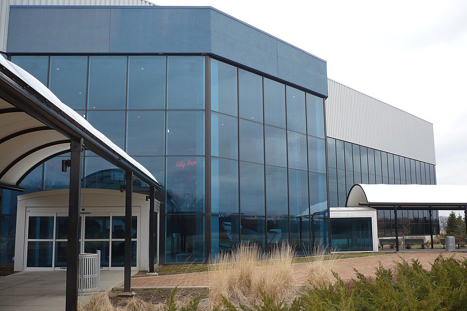 19 mi Theme parkAir Zoo
 34 mi MuseumGerald R. Ford Presidential Museum
 38 mi Park & preserveNorth Country Trail
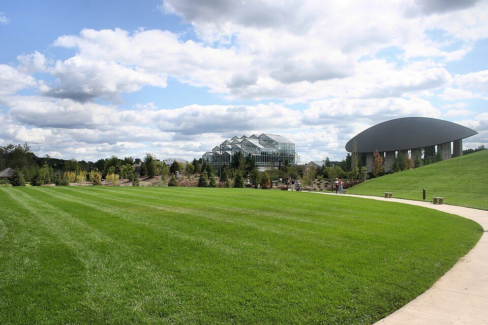 36 mi MuseumFrederik Meijer Gardens & Sculpture Park
 16 mi MuseumGilmore Car Museum87K visitors a year34 mi TheatreAcrisure Amphitheater
Air Zoo: User:my name, CC BY-SA 3.0 · Gerald R. Ford Presidential Museum: Staff of the Gerald R. Ford Presidential Museum, Public domain · North Country Trail: Huron-Manistee National Forests, Public domain · Frederik Meijer Gardens & Sculpture Park: User Jeffness on en.wikipedia, CC BY-SA 2.5 · Gilmore Car Museum: Kevin S. Forsyth, CC BY-SA 3.0
3 within 15 miles of the center of Otsego Township
About 2 of every 100 Otsego Township residents are enrolled in college, against 6 across Michigan.
City in Michigan, United States
Otsego is a city in Allegan County in the U.S. state of Michigan. The population was 4,120 at the 2020 census. The city is within Otsego Township, but is administratively autonomous. Otsego is situated on M-89 about three miles (4.8 km) west of Plainwell and US 131. It is about nine miles (14 km) southeast of Allegan, seventeen miles (27 km) north of Kalamazoo, and the Kalamazoo River flows east to west through the city.
From Wikipedia, licensed CC BY-SA 4.0 · facts via Wikidata (CC0)
5 towns share a border with Otsego Township.
Gun Plain Township next door grades lower for schools (B to Otsego Township’s A) and higher for cost of living (A− to B−).
| Town | MI rank | Overall | Cost | Safety | Schools | Health |
|---|---|---|---|---|---|---|
| Otsego Township | #217 | B+ | B− | — | A | B− |
| Gun Plain Township | #178 | A− | A− | — | B | B |
| Trowbridge Township | #495 | C+ | A− | — | C+ | C |
| Watson Township | — | — | B | — | B+ | C+ |
| Alamo Township | #169 | A− | C+ | — | A | B+ |
| Plainwell | #372 | B− | B | C+ | B | B− |
Watson Township has fewer than 2,500 residents, so it gets subject grades but no overall grade. Otsego Township, Gun Plain Township, Trowbridge Township, Watson Township and Alamo Township report no FBI crime data of their own. Compare Otsego Township with a neighbor →
Short answers, built from the data on this page.
By most measures, yes. Otsego Township grades B+ overall, better than 72% of U.S. towns and #217 of 697 in Michigan. It grades B− for health and A for schools.
Cost of living, which also weighs rents, property taxes and how many households pay 30% or more of their income for housing, grades B−.


