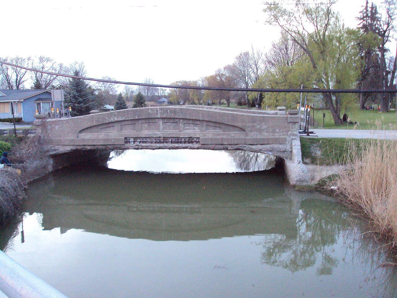
Vernier Street-Swan Creek Bridge · National Register of Historic Places
Ira Township’s story
175 years in pictures
The archive holds 5 maps from 1914 on.
1 place on the National Register of Historic Places.
- 1851Ira Township is settled
Each edition grades its towns against each other only.
Public schools that outperform most of Michigan.
Ira Township grades B− overall, 393rd of 697 graded towns in Michigan, with clear strengths and some subjects that lag. Its schools outperform 80% of the state's. Its lowest everyday mark is in cost of living: homes are expensive, about $244K for a typical one and 3.2 times the Detroit metro’s $77K median household income. Vernier Street-Swan Creek Bridge is on the National Register of Historic Places. Ira Township’s average trip to work is 29 minutes, above both Michigan’s towns (25 minutes) and U.S. towns (25 minutes). The biggest park or preserve is St. John's Marsh State Wildlife Area, at 165 acres.
Where Ira Township beats most towns.
| School | Grades | Students |
|---|---|---|
| Francois Maconce Elem School | PK–5 | 319 |
| Palms Elementary School | K–5 | 245 |
| Immaculate Conception School | PK–8 | 180 |
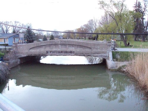 Vernier Street-Swan Creek Bridge
Where Ira Township’s working residents go each day. Line width shows the share.
Census LEHD 2021
Each subject compared with towns across the country (schools within Michigan), ordered by how far Ira Township is from typical.
How TownRatings grades towns →
The archive holds 5 maps from 1914 on.
1 place on the National Register of Historic Places.
Who provides power, water and the rest in Ira Township, and how to reach them.
EPA SDWIS (Oct 9, 2026) · HIFLD + EIA-861 2025 · Census 2020 ZCTAs · NCES 2024–25 · registration: vote.gov, updated Sep 12, 2025.
Ordered by what stands out in Ira Township.
Its public schools are run by the Anchor Bay School District. Two of its 4 schools are below, each with why it’s listed. The largest public high school is Anchor Bay High School, with 1,740 students.
| School | Level | Students | Letter |
|---|---|---|---|
| Francois Maconce Elem SchoolLargest public elementary schoolGrades PK–5 | Grades PK–5 | 319 | B |
| Anchor Bay High SchoolLargest public high schoolGrades 9–12 | Grades 9–12 | 1,740 | B+ |
NCES · EDFacts · graded within MI on state tests and graduation
Jobs based here grew from 906 in 2011 to 1,654.
Most working residents leave Ira Township for work: only 6% work in town. Since 2011, Ira Township has added 748 jobs, to 1,654 in 2021. 12% of residents live below the poverty line in Ira Township.
| Ira Township | Michigan towns | U.S. towns | |
|---|---|---|---|
| Below the poverty line | 12% | 8.9% | 9.6% |
| Median household income | $70,000 | $77,000 | $80,000 |
| Work from home | 9.7% | 10% | 11% |
Census LEHD 2021 · ACS
Expected storm and flood damage is lower than in 71% of U.S. communities. Since 1982, 85 flood insurance claims have been paid out in Ira Township.
FEMA flood insurance claims · FEMA National Risk Index · OpenFEMA
Ira Township has chilly, snowy winters and pleasant summers. Ira Township’s July high is 81°F.
NOAA U.S. Climate Normals, 1991–2020
1.3 miles of trail in 5 parks and preserves. The biggest park or preserve is St. John's Marsh State Wildlife Area, at 165 acres. The trail density in Ira Township is 0.1 miles per square mile.
| Ira Township | Michigan towns | U.S. towns | |
|---|---|---|---|
| Miles of trail per square mile | 0.1 miles per square mile | 0.3 | 0.4 |
| Conserved land | 2.7% | 4.4% | 4.3% |
| Biggest places to walk | Trails | Acres |
|---|---|---|
| 1. St. John's Marsh State Wildlife Area | — | 165 |
| 2. Dr. James F. Gerritts Memorial Sanctuary | 0.2 mi | 33 |
| 3. 25 Mile Park | — | 30 |
Trails & parks © OpenStreetMap contributors · Conserved land: USGS PAD-US
Ira Township beats the Michigan average on 4 of 32 CDC measures and trails it on 0. 28% of Ira Township adults have been diagnosed with depression.
| Ira Township | Michigan towns | U.S. towns | |
|---|---|---|---|
| Depression (CDC PLACES) | 28% | 27% | 23% |
| Frequent mental distress (CDC PLACES) | 18% | 18% | 17% |
| Feel lonely (CDC PLACES) | 33% | 32% | 33% |
| No health insurance, 18–64 (CDC PLACES) | 5.9% | 6.5% | 8.1% |
| What stands out | Ira Township | MI |
|---|---|---|
| Fewer adults facing food insecurity | 12.1% | 15.4% |
| Fewer adults facing a utility shut-off | 7% | 8.7% |
CDC PLACES 2025 · modeled estimates for adults · CMS · HRSA
Museums, parks, gardens and other places to visit around Ira Township. Close and well known come first.
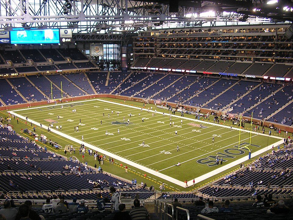 Big draw32 mi Stadium & arenaFord Field
 17 mi LakeLake Saint Clair
 32 mi Stadium & arenaComerica Park
 32 mi TheatreFox Theatre
 40 mi MuseumThe Henry Ford1.8M visitors a year
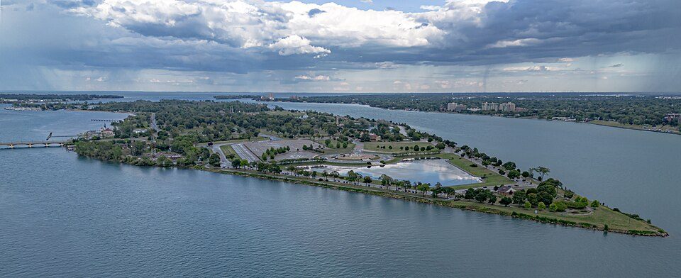 30 mi GardenBelle Isle Park
Ford Field: Unknown, CC BY 2.5 · Lake Saint Clair: Copernicus Sentinel-2, ESA, CC BY-SA 3.0 igo · Comerica Park: City of Detroit, Public domain · Fox Theatre: Michael Barera, CC BY-SA 4.0 · The Henry Ford: Alvintrusty, CC BY-SA 3.0 · Belle Isle Park: WMrapids, CC0
None within 15 miles of Ira Township; the nearest are
About 3 of every 100 Ira Township residents are enrolled in college, against 6 across Michigan.
Civil township in Michigan, United States
Ira Township is a civil township of St. Clair County in the U.S. state of Michigan. The population was 4,967 at the 2020 Census.
From Wikipedia, licensed CC BY-SA 4.0 · facts via Wikidata (CC0)
5 towns share a border with Ira Township.
| Town | MI rank | Overall | Cost | Safety | Schools | Health |
|---|---|---|---|---|---|---|
| Ira Township | #393 | B− | C | — | A− | B |
| New Baltimore | #95 | A | C | A | A | B+ |
| Clay Township | #399 | B− | C+ | — | B+ | B− |
| Cottrellville Township | #223 | B+ | B | — | A− | B− |
| Casco Township | #433 | B− | C+ | — | A− | B− |
| Chesterfield Township | #253 | B+ | C | B | A− | B |
Ira Township, Clay Township, Cottrellville Township and Casco Township report no FBI crime data of their own. Compare Ira Township with a neighbor →
Short answers, built from the data on this page.
Ira Township grades B− overall, better than 51% of U.S. towns and #393 of 697 in Michigan. It grades B for health and A− for schools.
Cost of living, which also weighs rents, property taxes and how many households pay 30% or more of their income for housing, grades C.


