2 of Howell Township’s places are on the National Register
Its Register listings are the Frank J. Hecox House and the George Louk Farm. Most of Howell Township was built recently: 6% of its homes predate 1940 and the median home dates from 1995. Its Register listings are the Frank J. Hecox House and the George Louk Farm. Below: 1 old photo or paper, maps from 1907 on, and the census since 1850.
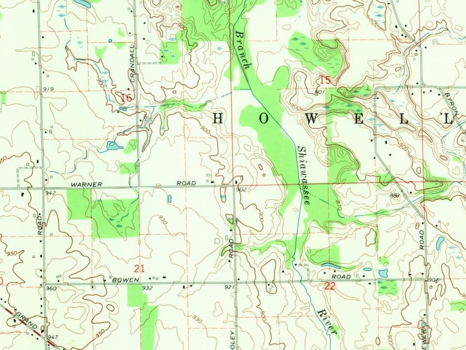
Every edition of the U.S. Geological Survey’s map of Howell Township. Tap a year, or press play to watch the town change.
1907Howell sheet · 1:62,500
U.S. Geological Survey historical topographic maps (public domain), via Esri’s collection of the scans. The red ring marks the center of Howell Township.
Places that used to be
Lost post offices, old corners, places now gone and burying grounds
Another post office, Fleming, opened and closed inside today’s town.
Hamlets and corners on the map
Burkhart Ridge Mobile Home ParkFairlawn Estates Mobile Home ParkFleming
Gone or out of use
Fleming Post Officepost office
2cemeteries and burying grounds inside Howell Township
PioneerWest Howell
US Post Offices dataset (Blevins & Helbock, CC0). Places and cemeteries from the USGS Geographic Names Information System (2021).
The City of Howell is the county seat of Livingston County. On 24 March 1836, the legislature passed an act organizing Livingston County. Howell was slated to become the county seat, but the newly established Brighton nearby claimed the seat for the next 12 years.
January 1836 saw the establishment of the first post office in Howell. Flavius J. B. Crane was postmaster, and the post office was in the Eagle Tavern. In March of this same year, there was a mail route started in the village of Kensington that went through Howell until ending in Grand Rapids. The pioneer manufacturing enterprise of Howell was a sawmill built in 1836, soon followed by a blacksmith shop.
Founding dates: Wikidata, Wikipedia, the U.S. post office records of Blevins & Helbock (CC0) and the Census. Homes by year built: Census ACS 2020–24. National Register of Historic Places: National Park Service (list of May 22, 2026). Old photos, postcards and papers: Wikimedia Commons, the Library of Congress and other public archives, credited on each item’s page. Maps: U.S. Geological Survey historical topographic maps (via Esri) and Sanborn fire-insurance maps (Library of Congress). History text and census tables: Wikipedia (CC BY-SA 4.0). Places that used to be: USGS Geographic Names Information System (2021). How TownRatings grades history →
From Wikimedia Commons (6), the National Register of Historic Places (2), Wikipedia, U.S. Geological Survey historical maps, U.S. Census counts (via Wikipedia), the US Post Offices dataset (Blevins & Helbock) and the USGS Geographic Names Information System. Archive images are copied here with their credits and licenses, shown on each photo’s page. Refreshed monthly.




 2011
 2011
 2011
 2011
 2000

