Elberta was first settled in 1855 and incorporated as South Frankfort in 1894. It was renamed Elberta in 1911 for the local Elberta peach. The village's founder is said to be George M. Cartwright.
M-168, previously one of the shortest state highways in Michigan, extended 0.95 miles (1.53 km) from a junction with M-22 in downtown Elberta to the former Ann Arbor Railroad ferry docks in Elberta. This highway was decommissioned in 2012.
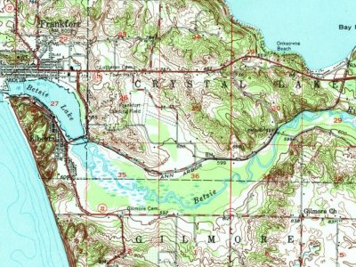
Founding dates: Wikidata, Wikipedia, the U.S. post office records of Blevins & Helbock (CC0) and the Census. Homes by year built: Census ACS 2020–24. National Register of Historic Places: National Park Service (list of May 22, 2026). Old photos, postcards and papers: Wikimedia Commons, the Library of Congress and other public archives, credited on each item’s page. Maps: U.S. Geological Survey historical topographic maps (via Esri) and Sanborn fire-insurance maps (Library of Congress). History text and census tables: Wikipedia (CC BY-SA 4.0). Places that used to be: USGS Geographic Names Information System (2021). How TownRatings grades history →
From Wikimedia Commons (12), Wikipedia, U.S. Geological Survey historical maps and U.S. Census counts (via Wikipedia). Archive images are copied here with their credits and licenses, shown on each photo’s page. Refreshed monthly.

 2019
 2019
 2019
 2018
 2013
 2013
 2013
 2013
 2013
 2008
 2007
 2005
