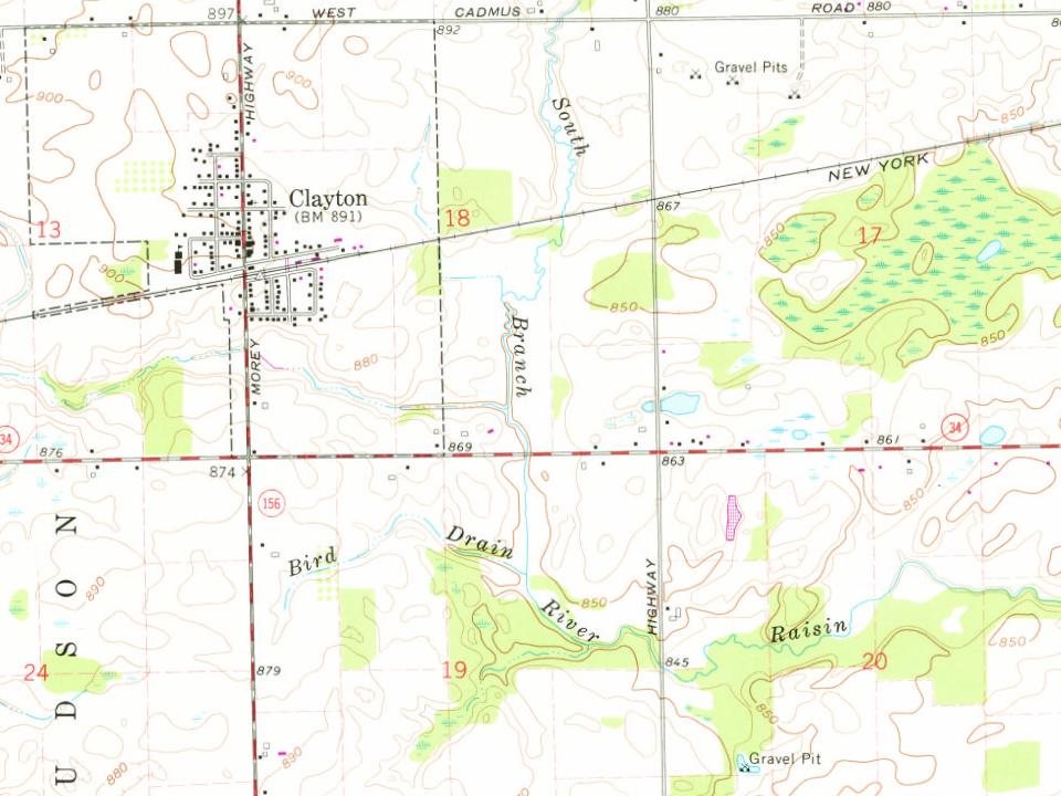
The community was first settled in 1836 and named East Dover due to its location in eastern Dover Township. A post office began operating in East Dover on March 8, 1837, with Levi Soper serving as the first postmaster. Rueben Bird platted the community in 1843, and he had the post office name changed to Clayton on July 17, 1849, after his friend Reverend Clayton from New York. Clayton was incorporated as a village in 1870.
Peaked at 505 in 1970; 311 people lived here in 2020.
14 censuses, 1880–2020.
U.S. Census Bureau decennial counts, from the census table on Clayton’s Wikipedia page.
From the old history books
What they wrote about Clayton in 1879
Passages that mention Clayton, cut from the printed page as they were published.
History and biographical record of Lenawee County, Michigan. Containing a history of the organization and early settlement of the county, together with a biographical record of many of the oldest and most prominent settlers and present residents, obtained1879 · page 452Read the page →
Read the text
passed over the road. Subsequently he, with his brother Patrick, and Daniel Clark, took a contract to build three miles of road-bed for the Michigan Southern railroad, two miles east and one mile west of Clayton. Michael did not stay until the job was
Text read by machine from the scan; it may contain errors.
Scans and text from the Internet Archive. Books published in 1930 or earlier, which are in the public domain.
Timeline
Clayton, 1836 to 1970
Woven from the archive, old maps, post office records, the National Register and the people born here.
Founding dates: Wikidata, Wikipedia, the U.S. post office records of Blevins & Helbock (CC0) and the Census. Homes by year built: Census ACS 2020–24. National Register of Historic Places: National Park Service (list of May 22, 2026). Old photos, postcards and papers: Wikimedia Commons, the Library of Congress and other public archives, credited on each item’s page. Maps: U.S. Geological Survey historical topographic maps (via Esri) and Sanborn fire-insurance maps (Library of Congress). History text and census tables: Wikipedia (CC BY-SA 4.0). Places that used to be: USGS Geographic Names Information System (2021). How TownRatings grades history →
From Wikimedia Commons (8), Wikipedia, U.S. Geological Survey historical maps, U.S. Census counts (via Wikipedia) and old county and town histories (Internet Archive). Archive images are copied here with their credits and licenses, shown on each photo’s page. Refreshed monthly.


 Date?
 2022
 2022
 2022
 2018
 2010
 2010
 2010