Alpena Township dates to 1840, and 3 of its places are on the National Register
Most of Alpena Township was built recently: 4% of its homes predate 1940 and the median home dates from 1972. Its Register listings are the Thunder Bay Island Light Station, the Middle Island Light and the Alpena Light. Below: 7 old photos and papers, maps from 1971 on, and the census since 1880.
The Alpena area is home to the Ojibwe, Ottawa, and Potawatomi people. These people groups inhabit the area surrounding the Great Lakes, including Michigan. The Thunder Bay Band of Chippewa and Ottawa merged with the Mackinac Bands of Chippewa and Ottawa Indians in the mid-1800s under Chief Way-ge-maw-waw-be.
Alpena County was originally set off from Michilimackinac County as Anamickee County founded in 1840, which in 1843 was changed to Alpena, a pseudo-Native American word — a neologism coined by Henry Schoolcraft, meaning something like "a good partridge country." This was part of a much larger effort to rename a great many of the Michigan counties at the time.
Nothing in the archives for these yearsWeddings on Main Street, storms, parades, school pictures, the old store. If it’s in your family album, it belongs here.
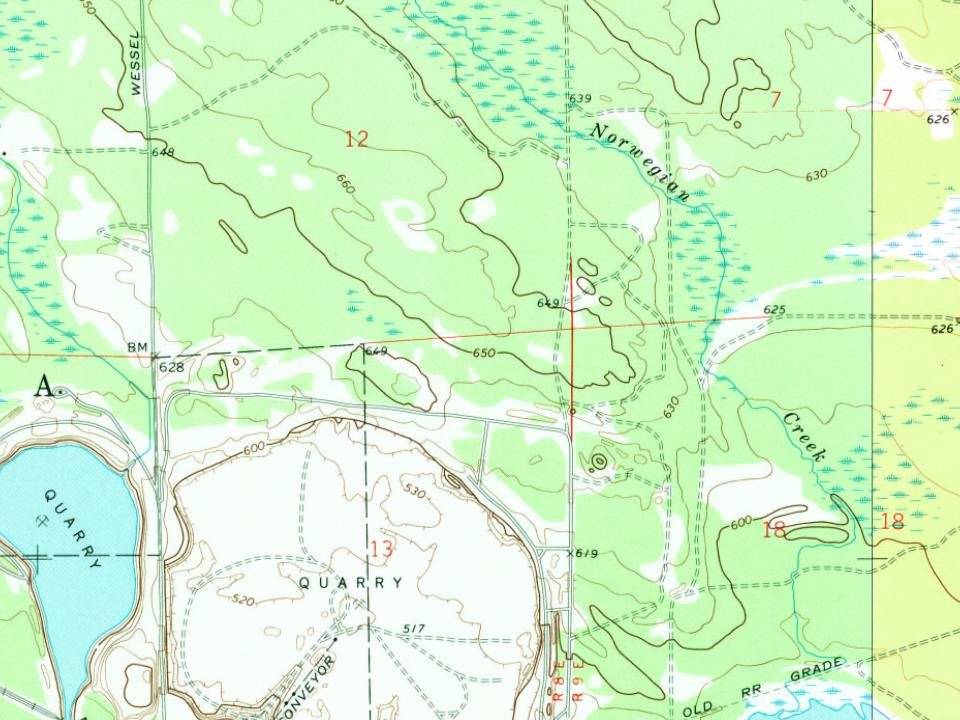
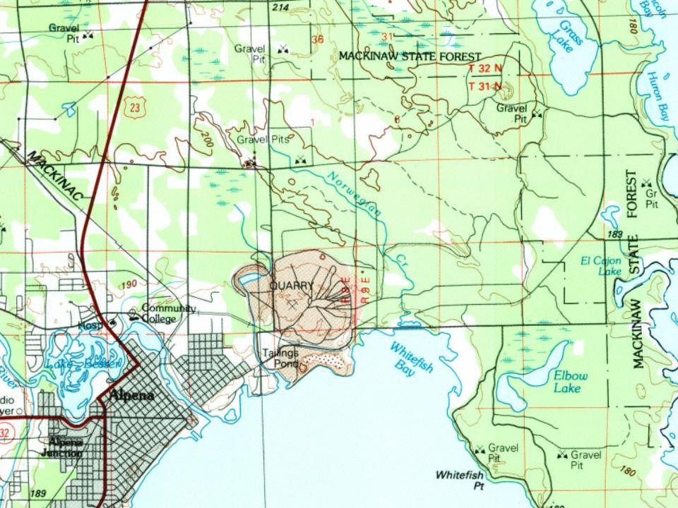
Every edition of the U.S. Geological Survey’s map of Alpena Township. Tap a year, or press play to watch the town change.
1971Alpena sheet · 1:24,000
U.S. Geological Survey historical topographic maps (public domain), via Esri’s collection of the scans. The red ring marks the center of Alpena Township.
Then & now
Stand where they stood
No then-and-now pairs yet. Take a photo from the same spot as an old one and they appear here side by side.
Retake this viewMaltz Block Postcard 1895, 1895
Find the spot, match the angle, and add your photo. It becomes the first then-and-now pair on Alpena Township’s page.
Founding dates: Wikidata, Wikipedia, the U.S. post office records of Blevins & Helbock (CC0) and the Census. Homes by year built: Census ACS 2020–24. National Register of Historic Places: National Park Service (list of May 22, 2026). Old photos, postcards and papers: Wikimedia Commons, the Library of Congress and other public archives, credited on each item’s page. Maps: U.S. Geological Survey historical topographic maps (via Esri) and Sanborn fire-insurance maps (Library of Congress). History text and census tables: Wikipedia (CC BY-SA 4.0). Places that used to be: USGS Geographic Names Information System (2021). How TownRatings grades history →
From Wikimedia Commons (19), Wikidata (4), the National Register of Historic Places (3), Wikipedia, U.S. Geological Survey historical maps, U.S. Census counts (via Wikipedia), the US Post Offices dataset (Blevins & Helbock) and the USGS Geographic Names Information System. Archive images are copied here with their credits and licenses, shown on each photo’s page. Refreshed monthly.


 1917
 1917
 1917
 1917
 2012
 2011
 2011
 2011
 2010
 2010
 2009
 2009
 2009
 2007
 2005
 2004