Prospect’s post office opened in 1868, and 12% of its homes were built before 1940
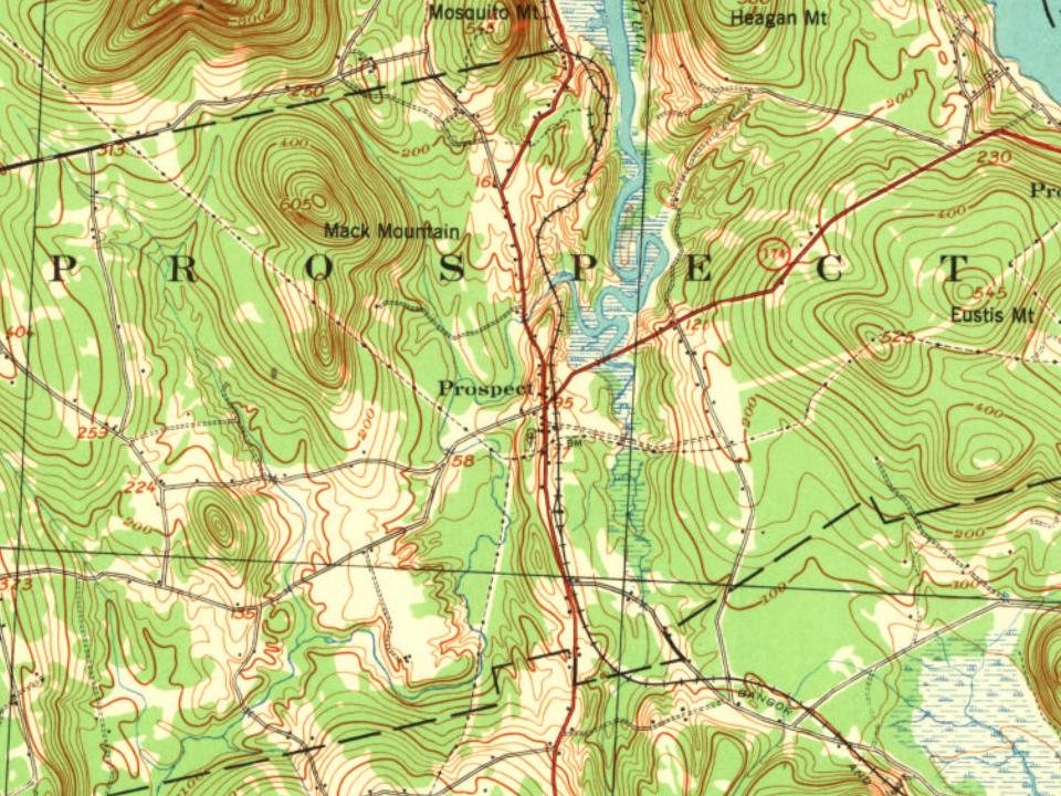
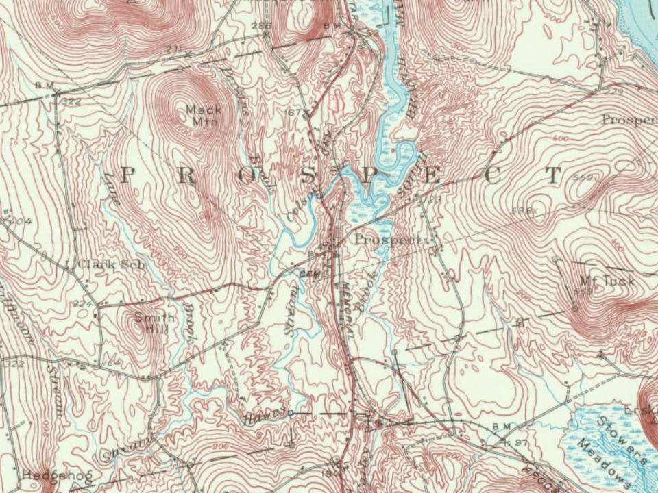
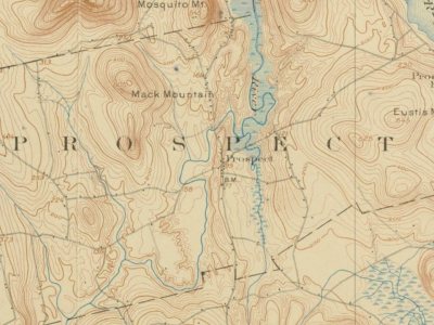
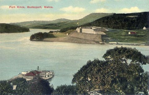
2 places in town are on the National Register, among them the Fort Knox State Park, a National Historic Landmark. Below: 1 old photo or paper, maps from 1900 on, and the census since 1800.
The Prospect post office opened in 1868, the earliest record of the town by name. Another post office, Prospect Ferry (1850), opened inside today’s town and later closed.
First census: 770 in 18002020 census: 698158 years
Founding year: the first Prospect post office (Blevins & Helbock, CC0).The full story ↓
What stands out about Prospect’s past
Read from the archive, the National Register and the record. The page puts what stands out first.
Originally part of Frankfort, it was settled in 1759 when Fort Pownall was completed at Fort Point on Cape Jellison. Prospect was set off and incorporated in 1794. Land was then set off from Prospect in 1845 to form part of Searsport. Stockton (later Stockton Springs) was set off and incorporated in 1857. Shipbuilding was an early industry. By 1859, the town had one gristmill, three sawmills and a shingle mill. Construction on Fort Knox began in 1844, using granite from Mount Waldo in Frankfort. It was built to defend the Penobscot River and the lumber port of Bangor during the Aroostook War. Although never fully completed, work on the huge defense stopped in 1869.
Nothing in the archives for these yearsWeddings on Main Street, storms, parades, school pictures, the old store. If it’s in your family album, it belongs here.
Founding dates: Wikidata, Wikipedia, the U.S. post office records of Blevins & Helbock (CC0) and the Census. Homes by year built: Census ACS 2020–24. National Register of Historic Places: National Park Service (list of May 22, 2026). Old photos, postcards and papers: Wikimedia Commons, the Library of Congress and other public archives, credited on each item’s page. Maps: U.S. Geological Survey historical topographic maps (via Esri) and Sanborn fire-insurance maps (Library of Congress). History text and census tables: Wikipedia (CC BY-SA 4.0). Places that used to be: USGS Geographic Names Information System (2021). How TownRatings grades history →
From Wikimedia Commons (11), the National Register of Historic Places (2), Wikipedia, Wikidata and Wikipedia for famous people, U.S. Geological Survey historical maps, U.S. Census counts (via Wikipedia), the US Post Offices dataset (Blevins & Helbock) and the USGS Geographic Names Information System. Archive images are copied here with their credits and licenses, shown on each photo’s page. Refreshed monthly.



 2012
 2012
 2012
 2012
 2012
 2012
 2012
 2012
 2012
 2012
 ★ Landmark