
ByronME
A town of 104, settled in 1837.
Is Byron a good place to live?
Byron’s average trip to work is 43 minutes, above both Maine’s towns (25 minutes) and U.S. towns (25 minutes). No town among the 144 in Maine we compare has a lower share of adults with a bachelor’s degree than Byron. Byron has fewer than 1,000 residents, too few for fair grades; the figures below are still real.
104 people, and everyone knows the way
In a town this size, neighbors are the best guide. Ask them anything.
Moving to Byron: who provides what
Who provides power, water and the rest in Byron, and how to reach them.
EPA SDWIS (Oct 9, 2026) · HIFLD + EIA-861 2025 · Census 2020 ZCTAs · NCES 2024–25 · registration: vote.gov, updated Aug 3, 2026.
The data
Ordered by what stands out in Byron.
Compared with most of Maine and the rest of the country, the FEMA risk score in Byron is higher
At 81 of 100, Byron’s FEMA risk score is where Maine’s towns sit at 31 of 100 and U.S. towns at 44 of 100. Since 2020, 4 flood insurance claims have been paid out in Byron.
FEMA flood insurance claims · FEMA National Risk Index · OpenFEMA
Snowy winters and pleasant summers in Byron
Byron has cold, snowy winters and pleasant summers. Byron’s July high is 77°F.
Typical low → high °F
NOAA U.S. Climate Normals, 1991–2020
More of Byron’s adults have diabetes than in the typical Maine or U.S. town
17% of adults have diabetes in Byron. Only 2 of the 144 Maine towns we compare have a higher share of adults who have high blood pressure than Byron. 24% of adults have been diagnosed with depression in Byron.
| Byron | Maine towns | U.S. towns | |
|---|---|---|---|
| Diabetes (CDC PLACES) | 17% | 11% | 12% |
| Frequent physical distress (CDC PLACES) | 19% | 14% | 14% |
| High blood pressure (CDC PLACES) | 45% | 35% | 35% |
| Binge drink (CDC PLACES) | 13% | 15% | 16% |
| What stands out | Byron | ME |
|---|---|---|
| Fewer binge drinkers | 13% | 15.5% |
| More adults treating high blood pressure | 81.9% | 76.4% |
| More adults with COPD | 12.8% | 8.4% |
CDC PLACES 2025 · modeled estimates for adults · CMS · HRSA
Byron has set aside 0.1% of its land for conservation
46 miles of trail in 1 park or preserve. Among 144 Maine towns, just 5 have a lower share of conserved land than Byron. The trail density in Byron is 0.9 miles per square mile.
| Byron | Maine towns | U.S. towns | |
|---|---|---|---|
| Conserved land | 0.1% | 4.7% | 4.3% |
| Miles of trail per square mile | 0.9 miles per square mile | 0.7 | 0.4 |
| Biggest places to walk | Trails | Acres |
|---|---|---|
| 1. Township 6 Conservation Easement | — | 2 |
Trails & parks © OpenStreetMap contributors · Conserved land: USGS PAD-US
Sugarloaf and 5 more within 40 miles
Museums, parks, gardens and other places to visit around Byron. Close and well known come first.
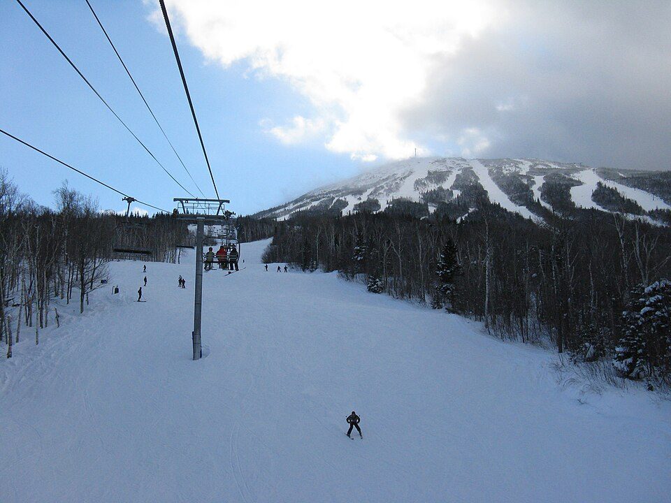 29 mi Ski areaSugarloaf137 runs · 2,769 ft vertical20 mi Ski areaSunday River146 runs · 2,322 ft vertical
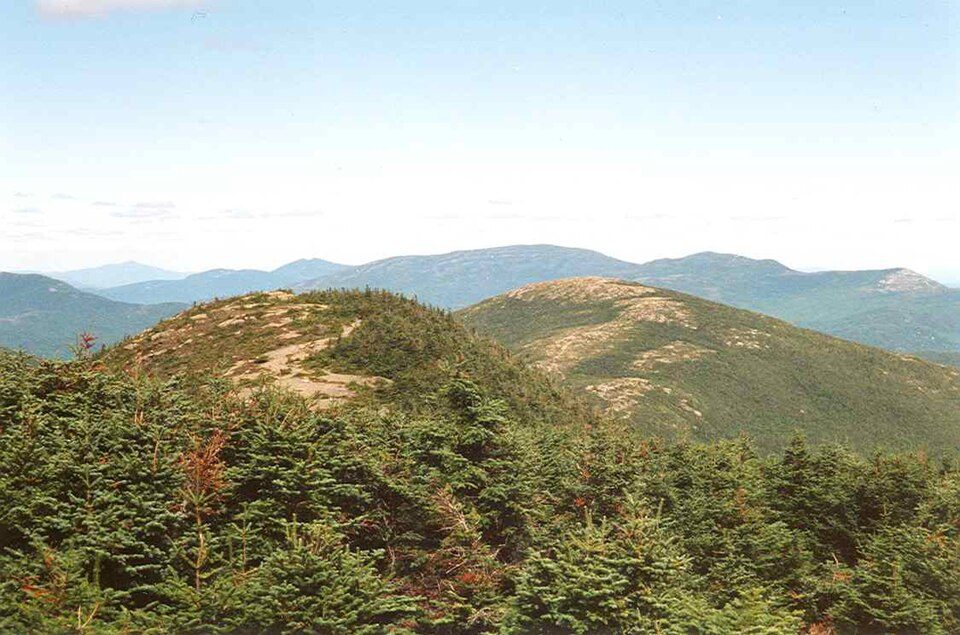 18 mi Ski areaSaddleback Mountain72 runs · 1,847 ft vertical9 mi Ski areaBlack Mountain of Maine29 runs · 1,227 ft vertical23 mi Ski areaMount Abram43 runs · 1,037 ft vertical
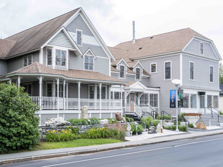 22 mi MuseumMaine Mineral and Gem Museum
Photo credits
Sugarloaf: Bubblecuffer, Public domain · Saddleback Mountain: petersent, Public domain · Maine Mineral and Gem Museum: Amandabachand, CC BY-SA 4.0


Everything we know about Byron
Colleges nearby
None within 15 miles of Byron; the nearest are
About 0 of every 100 Byron residents are enrolled in college, against 6 across Maine.
About Byron
Town in Maine, United States
Byron is a town in Oxford County, Maine, United States. The population was 103 at the 2020 census. Home to Coos Canyon on the Swift River, Byron includes the village of Houghton.
From Wikipedia, licensed CC BY-SA 4.0 · facts via Wikidata (CC0)
- Area
- 53 sq mi
- Elevation
- 948 ft
- Area code
- 207
Questions about Byron
Short answers, built from the data on this page.
Is Byron, ME a good place to live?
Byron has fewer than 1,000 residents, too few for fair grades; the figures below are still real.