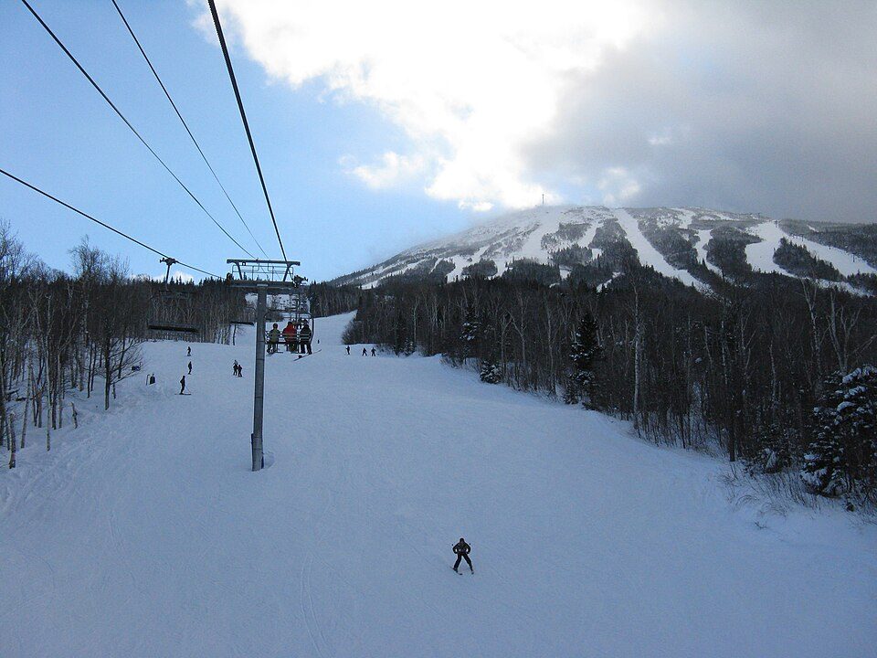
Sugarloaf
Sugarloaf is a ski area and resort located on Sugarloaf Mountain in Carrabassett Valley, western Maine.

A ski area inside Carrabassett Valley
2,769 feet of vertical
137 runs and 15 lifts. That’s more vertical than 88% of the 232 U.S. ski areas we track.
About 109 inches of snow a year
The nearest weather station records about 109" of snow in a normal winter, with January nights around 5°. When to go ↓
You can stay in Carrabassett Valley
Sugarloaf is inside Carrabassett Valley, which has 7 places to stay, so you won’t need a base farther out. Where to stay ↓
Written from NOAA 1991–2020 normals, Overture places to stay, Census town figures and Wikipedia.
Weather, month by month
Typical highs and lows in Carrabassett Valley.
Sugarloaf
Sugarloaf is a ski area and resort located on Sugarloaf Mountain in Carrabassett Valley, western Maine. It is the second largest ski resort east of the Mississippi in terms of skiable area (1,360 acres or 550 hectares after Killington's 1,509 acres or 611 ha) and snowmaking percentage (95%); its continuous vertical drop of 2,820 feet (860 m) is the second longest in New England (after Killington's 3,050 feet (930 m)). Sugarloaf recorded a total of 352,000 skier visits in the 2005–2006 season, ranking it second among Maine resorts and 11th in New England.
- Type
- Ski area
- Terrain
- 137 runs · 2,769 ft vertical · 15 lifts
- Wikipedia readers
- 8.8K a year
- Official site
- sugarloaf.com
Where to stay near Sugarloaf
The closest towns with hotels, motels or campgrounds are Carrabassett Valley (7) and Eustis (9).
Compare 8 towns
| Town | From Sugarloaf | Drive | Places to stay | People | Typical home | Safety |
|---|---|---|---|---|---|---|
| Carrabassett Valley 82% vacation homes | in town | — | 7 5 hotels · 1 inn or B&B · 1 lodge or cabins | 711 | $344K | — |
| Eustis 62% vacation homes | 13 mi northwest | 20 min | 9 3 hotels · 1 inn or B&B · 4 lodges & cabins · 1 campground | 672 | $262K | — |
| Rangeley 68% vacation homes | 21 mi west | 30 min | 23 7 hotels · 2 motels · 5 inns & B&Bs · 6 lodges & cabins · 2 campgrounds · 1 RV park | 1,336 | $425K | A |
| Kingfield 29% vacation homes | 8 mi southeast | 10 min | 4 1 hotel · 1 inn or B&B · 1 hostel · 1 campground | 1,025 | $194K | — |
| Dallas plantation 67% vacation homes | 14 mi west | 20 min | 3 3 lodges & cabins | 313 | — | — |
| Weld 69% vacation homes | 26 mi south | 40 min | 7 2 inns & B&Bs · 1 lodge or cabins · 4 campgrounds | 428 | $269K | — |
| Bingham 32% vacation homes | 25 mi east | 35 min | 4 1 motel · 1 inn or B&B · 1 lodge or cabins · 1 campground | 833 | $103K | — |
| Phillips 27% vacation homes | 14 mi south | 20 min | 1 1 campground | 942 | $191K | — |
Getting there
Nearest airports with airline service
Also near Sugarloaf
Other well-known places within 69 miles. Numbered ones are on the map above.
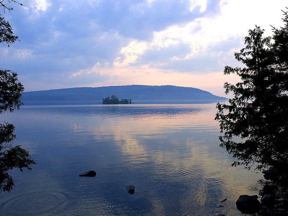 52 mi LakeMoosehead Lake
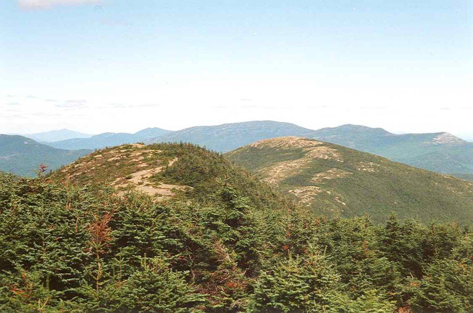 112 mi Ski areaSaddleback Mountain72 runs · 1,847 ft vertical68 mi Park & preserveHundred-Mile Wilderness49 mi Ski areaSunday River146 runs · 2,322 ft vertical43 mi Ski areaBig Moose Mountain Ski Area26 runs · 1,589 ft vertical
 57 mi MuseumMaine State Museum50 mi Ski areaMount Abram43 runs · 1,037 ft vertical35 mi Ski areaBlack Mountain of Maine29 runs · 1,227 ft vertical
Photo credits
Moosehead Lake: Dennis Redfield, CC BY 2.0 · Saddleback Mountain: petersent, Public domain · Maine State Museum: Stilfehler, CC BY-SA 3.0


Visiting Sugarloaf
Is Sugarloaf in Carrabassett Valley?
Yes. It’s inside Carrabassett Valley, ME.
What is the closest airport to Sugarloaf?
Augusta State (AUG), about 56 miles away. The nearest big hub is Portland International Jetport (PWM), about 97 miles.
Where should I stay near Sugarloaf?
Carrabassett Valley (in town, 7 places to stay), Eustis (13 mi, 9 places to stay) and Rangeley (21 mi, 23 places to stay).
Tips from people in Carrabassett Valley
No tips yet. Ask, or answer, in Carrabassett Valley’s Town Square.
Sources: National Park Service · ski areas © OpenSkiMap / OpenStreetMap contributors · Wikidata · Wikipedia readership · NOAA climate normals · U.S. Census.