Founding year: Wikidata. First post office: 1801.The full story ↓
History grade
What drives Westernport’s History grade
On its age, its old homes and the National Register, Westernport is more historic than 95% of U.S. towns. All 3 inputs are above most U.S. towns; its share of homes from before 1940 ranks highest and its National Register listings lowest.
A+
HistoryA character grade: shown, never part of Westernport’s overall grade.
Few Maryland towns list much on the Register (a typical Maryland town has 0.9 per 10,000 residents, the U.S. 2.4), so Westernport’s 6.3 sits near the middle of its state (64% of Maryland towns have fewer) while its 1 listings outnumber those of 51% of U.S. towns.
NoteThe founding year comes from Wikidata alone; no second source gives 1758.
How sure. Graded on any two of the three inputs instead, the letter would range from A− to A+. The pre-1940 share is a Census survey estimate (±11.1 points).
Founding year: Wikidata (other dates in Quick answers). Homes: Census ACS 2020–24. National Register: National Park Service, May 2026 list; each listing counted once (boundary changes and added documentation belong to their listing), and a historic district counts its contributing buildings. How TownRatings grades history →
What stands out about Westernport’s past
Read from the archive, the National Register and the record. The page puts what stands out first.
Westernport's first settlement is identified on a French military map dating from 1758. The map is currently on display at École Militaire in Paris. The settlement at that time had no name. By 1774, it was known as Hardscrabble because the rocky soil made planting difficult. Some time in the mid-1790s, the name was changed to Westernport, with the town being the westernmost navigable port on the Potomac River. In the late 18th century and early to mid part of the 19th century, coal and timber was loaded onto flatboats where George's Creek empties into the Potomac, then floated down to near Great Falls, Virginia, where the goods were unloaded, the boats broken up to sell as lumber, with the operators walking back to Westernport. The town was incorporated in 1859.
X. Permanent Settlement ond Earliest People The permanent settlement of Westernport came after the troublesome Indians were eliminated. The first names connected with the town were:
Text read by machine from the scan; it may contain errors.
The coming of the railroads gave a big boost to the development of the town. The Cumberland and Pennsylvania was built to carry freight from the upper Creek sections to the shipping port. The Baltimore and Ohio railroad reached what is now Piedmont in 1851. It Is said that Westernport, up to that time, had only 30 houses and Piedmont was an open field with no inhobitants. Mrs. Bums, who kept the first hotel in Westernport, owned these acres and sold them just before the railroad was extended.
Text read by machine from the scan; it may contain errors.
Scans and text from the Internet Archive. Books published in 1930 or earlier, which are in the public domain.
By decade
Westernport, decade by decade
2 decades in the archive, from the 1930s to the 1960s. Scroll each row; tap a photo for its story.
Nothing in the archives for these yearsWeddings on Main Street, storms, parades, school pictures, the old store. If it’s in your family album, it belongs here.
In 1758, according to Wikidata. Westernport’s post office opened in 1801, and the census of 1880 counted 1,468 people here.
How does Westernport rank for history?
Westernport is more historic than 95% of U.S. towns. The History grade combines the town’s founding era, the share of homes built before 1940 and its National Register listings. It’s a character grade, so it isn’t part of the overall grade. How it works.
What is on the National Register in Westernport?
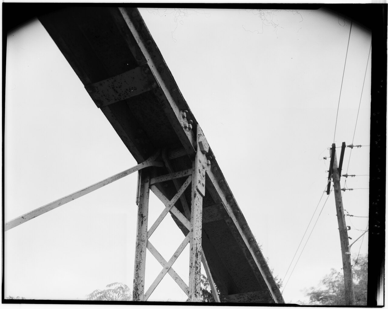
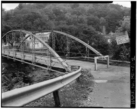
One place: the Waverly Street Bridge (listed 1984).
How old are the homes in Westernport?
46% of Westernport’s homes were built before 1940 (Census estimate, ±11.1 points), against a typical 3.3% for a Maryland town; the median home was built in 1944.
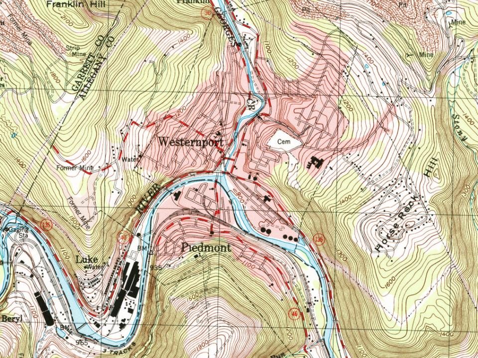
Founding dates: Wikidata, Wikipedia, the U.S. post office records of Blevins & Helbock (CC0) and the Census. Homes by year built: Census ACS 2020–24. National Register of Historic Places: National Park Service (list of May 22, 2026). Old photos, postcards and papers: Wikimedia Commons, the Library of Congress and other public archives, credited on each item’s page. Maps: U.S. Geological Survey historical topographic maps (via Esri) and Sanborn fire-insurance maps (Library of Congress). History text and census tables: Wikipedia (CC BY-SA 4.0). Places that used to be: USGS Geographic Names Information System (2021).
From Wikimedia Commons (12), the National Register of Historic Places (1), Wikipedia, Wikidata and Wikipedia for famous people, U.S. Geological Survey historical maps, U.S. Census counts (via Wikipedia), the US Post Offices dataset (Blevins & Helbock), the USGS Geographic Names Information System and old county and town histories (Internet Archive). Archive images are copied here with their credits and licenses, shown on each photo’s page. Refreshed monthly.




 1968
 1968
 1968
 1968
 1968
 1968
 1968
 1968
 1968
 2013