
Buick-Estate, 2008
Marlow Heights’s story
Marlow Heights in pictures
Census counts: 6,059 in 2000, 6,169 in 2020. The archive holds 12 old photos and papers going back to 2004 and 4 maps from 1900 on.
Explore the history →Each edition grades its towns against each other only.
In Maryland, this town has 5,456 residents.
Marlow Heights grades low on several counts. Its weakest subject is schools: its schools rank behind 92% of the state's. Health is weaker too (C−): residents are less healthy than 78% of U.S. towns on CDC estimates. Hazard risk is its strong suit (A+). At about $388K, a typical home costs 3.1 years of the Washington metro’s $127K median household income. Walkability is a strength too (A+). The overall grade comes out at D, 246th of 259 in Maryland. On that grade it does better than just over a tenth of U.S. towns.
Figures: FEMA National Risk Index · schools, state test and graduation results · health, CDC PLACES · home values, Zillow · incomes, Census ACS, 2020–24.
Where Marlow Heights beats most towns, and one thing worth knowing.
| School | Grades | Students |
|---|---|---|
| Imagine Lincoln PCS | K–8 | 371 |
| Benjamin Stoddert Middle | 6–8 | 628 |
Each subject compared with towns across the country (schools within Maryland), ordered by how far Marlow Heights is from typical.
Its grades run from A+ for hazard risk (better than 99% of comparable towns) to D for schools (better than 8%), so the D overall blends very different results.
How TownRatings grades towns →
Census counts: 6,059 in 2000, 6,169 in 2020. The archive holds 12 old photos and papers going back to 2004 and 4 maps from 1900 on.
Explore the history →Museums, parks, gardens and other places to visit around Marlow Heights. Close and well known come first.
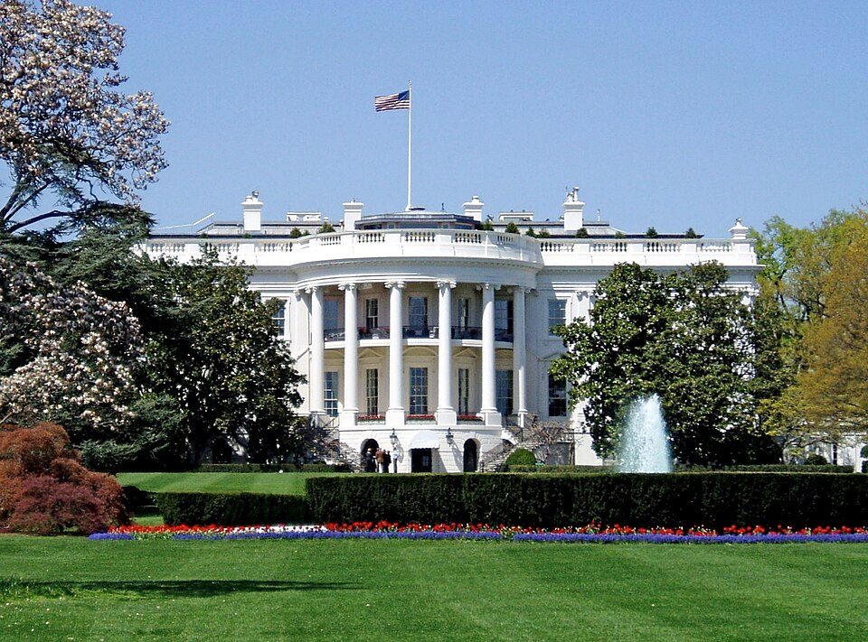 Big draw7 mi National park siteWhite House311K visitors a year
 Big draw7 mi National MemorialWashington Monument204K visitors a year
 Big draw8 mi LandmarkArlington National Cemetery
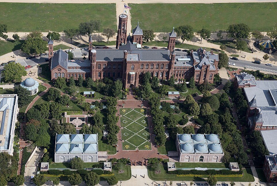 Big draw7 mi MuseumSmithsonian Institution30.0M visitors a year
 Big draw8 mi LandmarkUnited States Triumphal Arch
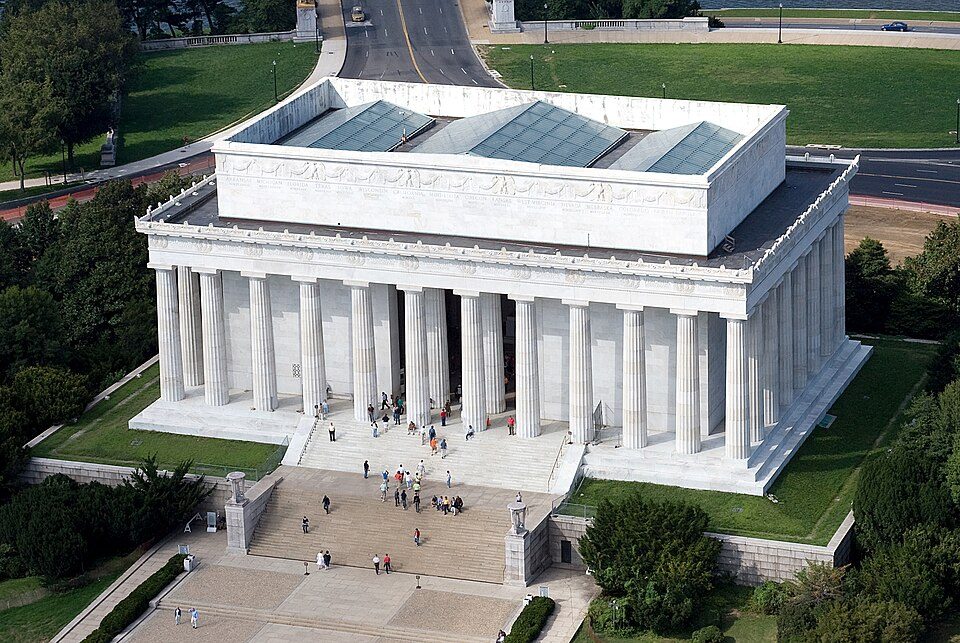 Big draw7 mi National MemorialLincoln Memorial7.7M visitors a year
White House: This image or media was taken or created by Matt H. Wade. To see his entire port, CC BY-SA 3.0 · Washington Monument: Oren Rozen, CC BY-SA 4.0 · Arlington National Cemetery: Protoant, Public domain · Smithsonian Institution: Highsmith, Carol M., 1946-, photographer, Public domain · United States Triumphal Arch: Hstoops, CC0 · Lincoln Memorial: Aerial_view_of_Lincoln_Memorial_-_east_side.jpg: Carol M. Highsmith derivative w, Public domain
Marlow Heights is unincorporated, so Prince George's County and regional agencies provide most services.
EPA SDWIS (Oct 9, 2026) · HIFLD + EIA-861 2025 · Census 2020 ZCTAs · NCES 2024–25 · registration: vote.gov, updated Mar 11, 2026.
Ordered by what stands out in Marlow Heights.
Marlow Heights sends many workers across the state line to Arlington and is healthier than towns with similar incomes, but it has poverty well above the Maryland rate.
Its public schools are run by the Prince George's County Public Schools. One of its 2 schools is below, with the reason it’s listed. 2 public schools serve Marlow Heights, with 999 students in all.
| School | Level | Students | Letter |
|---|---|---|---|
| Benjamin Stoddert MiddleLargest public middle schoolGrades 6–8 | Grades 6–8 | 628 | C− |
NCES · EDFacts · graded within MD on state tests and graduation
FEMA puts 42% of Marlow Heights’s expected hazard losses down to inland flooding, and 13% to heat waves. For Marlow Heights, the risk rating from FEMA is 2 of 100. Expected storm and flood damage is lower than in 98% of U.S. communities.
FEMA National Risk Index · OpenFEMA
Against the 7,574 U.S. towns with household incomes like Marlow Heights’s, it is less healthy than 58%, so its C− isn’t only a matter of income.
Among adults in Marlow Heights, 48% sleep under 7 hours. 18% of Marlow Heights adults have diabetes, above both Maryland’s towns (12%) and U.S. towns (12%). Of 32 CDC measures, Marlow Heights beats the Maryland average on 3 and trails it on 20. Also worth knowing: only 2 of the 261 Maryland towns we compare have a higher share of adults who have obesity than Marlow Heights.
| Marlow Heights | Maryland towns | U.S. towns | |
|---|---|---|---|
| Obesity (CDC PLACES) | 48% | 36% | 35% |
| Diabetes (CDC PLACES) | 18% | 12% | 12% |
| Sleep under 7 hours (CDC PLACES) | 48% | 38% | 36% |
| Food insecurity (CDC PLACES) | 31% | 14% | 14% |
| What stands out | Marlow Heights | MD |
|---|---|---|
| Fewer adults who have had cancer | 5.2% | 7.6% |
| Fewer binge drinkers | 10.9% | 14.1% |
| More adults facing food insecurity | 31.4% | 15.4% |
CDC PLACES 2025 · modeled estimates for adults · CMS · HRSA
The range runs from 26° on a January night to 88° on a July afternoon, with about 6 inches of snow a winter.
NOAA U.S. Climate Normals, 1991–2020
61% of working residents cross a state line to work, Arlington among the top destinations. Marlow Heights has about as many jobs (2,139) as working residents, but only 44 people both live and work here.
7.5% of Marlow Heights workers work remotely from home, where Maryland’s towns sit at 18% and U.S. towns at 11%. The typical household income for Marlow Heights comes to $56,000. Just 2% of the town’s working residents have a job in town. The top destinations are Washington (32%), Arlington (5%) and National Harbor (3%).
| Marlow Heights | Maryland towns | U.S. towns | |
|---|---|---|---|
| Below the poverty line | 32% | 7% | 9.6% |
| Average trip to work | 37 minutes | 32 minutes | 25 minutes |
| Median household income | $56,000 | $113,000 | $80,000 |
| Work from home | 7.5% | 18% | 11% |
Census LEHD 2023 · ACS
Marlow Heights’ trail network density is 0.1 miles per square mile. Trails run 0.1 miles in 3 parks and preserves.
| Marlow Heights | Maryland towns | U.S. towns | |
|---|---|---|---|
| Miles of trail per square mile | 0.1 miles per square mile | 0.6 | 0.4 |
| Conserved land | 9.1% | 9.5% | 4.3% |
| Biggest places to walk | Trails | Acres |
|---|---|---|
| 1. Henson Creek Stream Valley Park | — | 19 |
| 2. Marlow Heights Community Center | — | 5 |
| 3. Abbott Drive Park | — | 4 |
Trails & parks © OpenStreetMap contributors · Conserved land: USGS PAD-US
70.1% of renter households pay 30% or more of their income for housing, against 51.5% across Maryland.
In Marlow Heights, 41% of households own their home. The midpoint rent locally is $1,657 a month.
| Marlow Heights | Maryland towns | U.S. towns | |
|---|---|---|---|
| Households that own their home | 41% | 74% | 73% |
| Median rent | $1,657 a month | $1,810 a month | $1,185 a month |
Census ACS, 2020–24 · Zillow Home Value Index · Redfin Data Center
28 within 15 miles of the center of Marlow Heights
About 4 of every 100 Marlow Heights residents are enrolled in college, against 7 across Maryland.
Census-designated place in Maryland, United States
Marlow Heights is an unincorporated area and census-designated place (CDP) in Prince George's County, Maryland, United States. The population was 6,169 at the 2020 census. The Marlow Heights Shopping Center first opened in 1957 (but extended in 1960 with Hecht's), adjacent to the large community of Hillcrest Heights. It was joined ten years later, in 1967, by the two-level Iverson Mall, the Washington metropolitan area's first enclosed mall. For mailing address purposes, the area is part of Temple Hills or Suitland. Marlow Heights is located near the U.S. Census Bureau, Andrews Air Force Base, the Metrorail Green Line and Capitol Hill.
From Wikipedia, licensed CC BY-SA 4.0 · facts via Wikidata (CC0)
6 towns share a border with Marlow Heights.
All 6 graded towns on its borders grade higher than its D; Temple Hills (C−) is closest.
| Town | MD rank | Overall | Cost | Safety | Schools | Health |
|---|---|---|---|---|---|---|
| Marlow Heights | #246 | D | C+ | — | D | C− |
| Hillcrest Heights | #186 | C+ | B− | — | D | C+ |
| Temple Hills | #238 | C− | C+ | — | D | C |
| Camp Springs | #174 | C+ | C | — | D | B− |
| Glassmanor | #237 | C− | B− | — | D | C− |
| Silver Hill | #205 | C | B | — | D | C |
| Oxon Hill | #168 | B− | B− | — | D | B− |
Marlow Heights, Hillcrest Heights, Temple Hills, Camp Springs, Glassmanor, Silver Hill and Oxon Hill report no FBI crime data of their own. Compare Marlow Heights with a neighbor →
Short answers, built from the data on this page.
Marlow Heights grades D overall, better than 12% of U.S. towns and #246 of 259 in Maryland. It grades C− for health and D for schools. Schools is its weak spot, with a D.
The typical home is worth about $388,000, 9% below the Maryland typical home. Cost of living, which also weighs rents, property taxes and how many households pay 30% or more of their income for housing, grades C+.


