Ilchester dates to 1761, and 2 of its places are on the National Register
More historic than 72% of U.S. towns · #47 of 261 in Maryland. What drives it
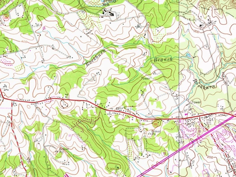
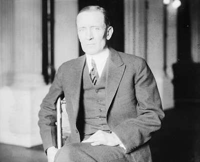
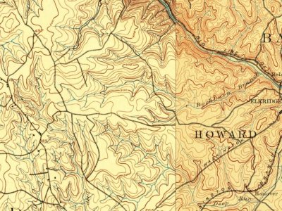
Most of Ilchester was built recently: 0.9% of its homes predate 1940 and the median home dates from 1995. 2 places in town are on the National Register, among them a historic district with 47 buildings. Below: 3 old photos and papers and maps from 1892 on.
On its age, its old homes and the National Register, Ilchester is more historic than 72% of U.S. towns, #47 of 261 in Maryland. Its age holds the grade up; its share of homes from before 1940 pulls it down.
B+
HistoryA character grade: shown, never part of Ilchester’s overall grade.
Few Maryland towns list much on the Register (a typical Maryland town has 0.9 per 10,000 residents, the U.S. 2.4), so Ilchester’s 19.4 sits above most of its state (74% of Maryland towns have fewer) while its 55 historic buildings outnumber those of 86% of U.S. towns.
NoteThe founding year comes from Wikidata alone; no second source gives 1761.
How sure. Graded on any two of the three inputs instead, the letter would range from C+ to A+. The pre-1940 share (±0.8 points) is firm at this size.
Founding year: Wikidata (other dates in Quick answers). Homes: Census ACS 2020–24. National Register: National Park Service, May 2026 list; each listing counted once (boundary changes and added documentation belong to their listing), and a historic district counts its contributing buildings. How TownRatings grades history →
What stands out about Ilchester’s past
Read from the archive, the National Register and the record. The page puts what stands out first.
Old hamlets and crossroads still carry their names on the map.
Hamlets and corners on the map
Bonnie AcresBonnie BraeBrightfieldDeep Run ParkFont HillGlenmarHunt Country EstatesJonestownLocust ManorMarshalee EstatesMayfield ManorMontgomery RunOrange GrovePfeiffer CornersPleasant ViewThompsons PurchaseTimberviewVillage of Deep RunWoodland Village
In 1761, John Cornthwaite founded a wood grist mill called the Dismal Mill, located approximately 2 miles (3 km) southeast of Ellicott City on the western shore of the Patapsco River. The Ellicott family (John, Andrew, and Joseph Ellicott) settled in the area in the late 18th century, buying a two-mile section of the Patapsco in 1772 that included Ilchester and Ellicott Mills. The Baltimore and Ohio Railroad (B&O) was built up the Patapsco River valley through Ilchester in 1830 (see Old Main Line Subdivision), and George Ellicott Jr. (grandson of Andrew) built a tavern and cooper shop along the railroad. The Thistle Manufacturing Company built a factory in 1837. Ilchester did not become a major stop for the B&O due to its steep grades, and the tavern was unsuccessful. In 1842, mail service was started with the station name "Illchester Mills".
Nothing in the archives for these yearsWeddings on Main Street, storms, parades, school pictures, the old store. If it’s in your family album, it belongs here.
Nothing in the archives for these yearsWeddings on Main Street, storms, parades, school pictures, the old store. If it’s in your family album, it belongs here.
Ilchester is more historic than 72% of U.S. towns, #47 of 261 in Maryland. The History grade combines the town’s founding era, the share of homes built before 1940 and its National Register listings. It’s a character grade, so it isn’t part of the overall grade. How it works.
What is on the National Register in Ilchester?
Two places: the Lawyers Hill Historic District (listed 1993) and the Curtis-Shipley Farmstead (2006).
How old are the homes in Ilchester?
0.9% of Ilchester’s homes were built before 1940 (Census estimate), against a typical 3.3% for a Maryland town; the median home was built in 1995.
Founding dates: Wikidata, Wikipedia, the U.S. post office records of Blevins & Helbock (CC0) and the Census. Homes by year built: Census ACS 2020–24. National Register of Historic Places: National Park Service (list of May 22, 2026). Old photos, postcards and papers: Wikimedia Commons, the Library of Congress and other public archives, credited on each item’s page. Maps: U.S. Geological Survey historical topographic maps (via Esri) and Sanborn fire-insurance maps (Library of Congress). History text and census tables: Wikipedia (CC BY-SA 4.0). Places that used to be: USGS Geographic Names Information System (2021).
From Wikimedia Commons (18), the National Register of Historic Places (2), Wikipedia, Wikidata and Wikipedia for famous people, U.S. Geological Survey historical maps and the USGS Geographic Names Information System. Archive images are copied here with their credits and licenses, shown on each photo’s page. Refreshed monthly.





 1895
 2019
 2019
 2019
 2019
 2019
 2019
 2019
 2019
 2019
 2019
 2019
 2019
 2016
 2011
 2011

