Lost a third of its people between 1940 and 1950, then grew more than tenfold.
9 censuses, 1940–2020.
U.S. Census Bureau decennial counts, from the census table on Highland Beach’s Wikipedia page.
On the map
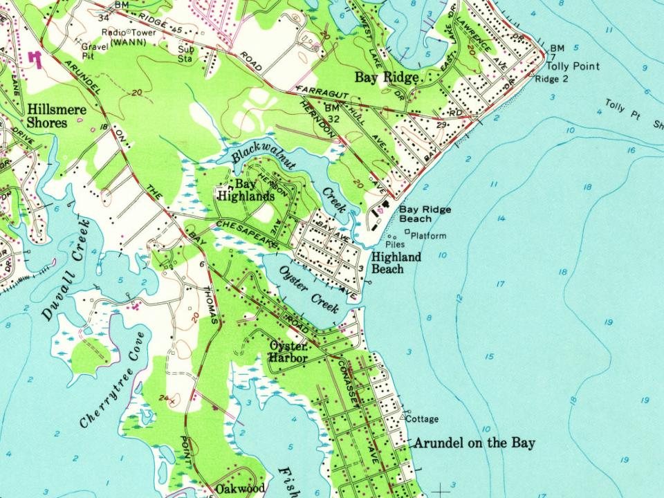
Highland Beach on the map, 1892 to 1970
Every edition of the U.S. Geological Survey’s map of Highland Beach. Tap a year, or press play to watch the town change.
1892Annapolis sheet · 1:62,500
U.S. Geological Survey historical topographic maps (public domain), via Esri’s collection of the scans. The red ring marks the center of Highland Beach.
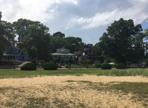
Highland Beach was founded in summer 1893 by Maj. Charles Remond Douglass, (Frederick Douglass's son) and his wife, Laura, after they had been turned away from a restaurant at the nearby Bay Ridge resort because of their race. Charles Douglass was a retired military officer who served with the 54th Massachusetts Infantry Regiment of the United States Colored Troops during the American Civil War. After being turned away, Maj. Douglass decided to buy beachfront property directly south of Bay Ridge and sell lots to family and friends.
In 1893, according to Wikidata and Wikipedia’s history of the town. Highland Beach’s post office opened in 1916, and the census of 1940 counted 9 people here.
What is on the National Register in Highland Beach?
One place: the Douglass Summer House (listed 1992).
Founding dates: Wikidata, Wikipedia, the U.S. post office records of Blevins & Helbock (CC0) and the Census. Homes by year built: Census ACS 2020–24. National Register of Historic Places: National Park Service (list of May 22, 2026). Old photos, postcards and papers: Wikimedia Commons, the Library of Congress and other public archives, credited on each item’s page. Maps: U.S. Geological Survey historical topographic maps (via Esri) and Sanborn fire-insurance maps (Library of Congress). History text and census tables: Wikipedia (CC BY-SA 4.0). Places that used to be: USGS Geographic Names Information System (2021). How TownRatings grades history →
From Wikimedia Commons (12), the National Register of Historic Places (1), Wikipedia, U.S. Geological Survey historical maps, U.S. Census counts (via Wikipedia), the US Post Offices dataset (Blevins & Helbock) and the USGS Geographic Names Information System. Archive images are copied here with their credits and licenses, shown on each photo’s page. Refreshed monthly.



 2017
 2017
 2017
 2017
 2017
 2017
 2017
 2017
 2017
 2017
 2009
 2004
