Wikipedia doesn’t have a history of Friendship yet. The photos, dates and memories neighbors add here are how it gets written.
Friendship is an unincorporated community and census-designated place (CDP) in Anne Arundel County, Maryland, United States. As of the 2010 census, its population was 447. Friendship covers 1.794 square miles (2.887 km2), and is located at the southern tip of Anne Arundel County along Maryland Route 2, by which road it is 22 miles (35 km) north to Annapolis, the state capital, and 15 miles (24 km) south to Prince Frederick, the seat of Calvert County.
Friendship was established in 1804. Between the 2010 and 2020 censuses its population fell from 447 to 384 (-14%).
Intro from Wikipedia. Population: U.S. Census Bureau.
From the old history books
What they wrote about Friendship in 1905
Passages that mention Friendship, cut from the printed page as they were published.
A history of Anne Arundel County in Maryland1905Read the page →
Read the text
1. The village of Friendship, in the Eighth Election District of Anne Arundel county, was founded by Isaac Simmons, in the year 1804. It is located one mile east of a cove called " Chew's Cove," leading into Herring Bay, and thence to the Chesapeake. It is 22 miles south of Annapolis, in north latitude 38 degrees, and 31 minutes, and west longitude 75 degrees, and 9 minutes, and lies on the post road from Annapolis to St. Leonard's Town, and a cross road from the Bay to the Patusent River. Tradition tells that this place was once a public held in the olden times, for various kinds of sports. A reputation for the iniquity of the locality has
Text read by machine from the scan; it may contain errors.
A history of Anne Arundel County in Maryland1905Read the page →
Read the text
Wood bought the house. The Nat Turner insurrection in South Hampton County, Va., in 1881, caused great excitement in this and other sections, and a military company was formed at Friendship, with Cephas Simmons, Captain. The Governor sent the Comjsany a lot of flint muskets as weajjons, and other accoutrements. The organization was continued for several years. A Temperance Sermon was preached in the village on March 4, 1832, l)y the Rev. Nicholas J. Watkins, and a Temperance society organized. The old frame church was sold, in 1833, and a new brick one built. During the first week after its dedication, on Wednesday evening, when
Text read by machine from the scan; it may contain errors.
Scans and text from the Internet Archive. Books published in 1930 or earlier, which are in the public domain.
Founding dates: Wikidata, Wikipedia, the U.S. post office records of Blevins & Helbock (CC0) and the Census. Homes by year built: Census ACS 2020–24. National Register of Historic Places: National Park Service (list of May 22, 2026). Old photos, postcards and papers: Wikimedia Commons, the Library of Congress and other public archives, credited on each item’s page. Maps: U.S. Geological Survey historical topographic maps (via Esri) and Sanborn fire-insurance maps (Library of Congress). History text and census tables: Wikipedia (CC BY-SA 4.0). Places that used to be: USGS Geographic Names Information System (2021). How TownRatings grades history →
From Wikimedia Commons (4), the Library of Congress (2), the National Register of Historic Places (1), the US Post Offices dataset (Blevins & Helbock), the USGS Geographic Names Information System and old county and town histories (Internet Archive). Archive images are copied here with their credits and licenses, shown on each photo’s page. Refreshed monthly.

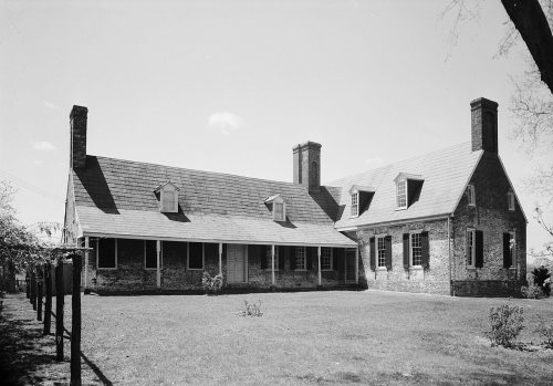


 2018
 2018
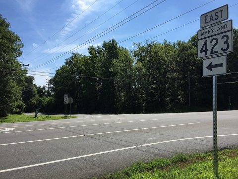 2016
 2016
 2016
 2016