Fort RitchieMD
A town in Maryland.
Is Fort Ritchie a good place to live?
Among 262 Maryland towns, just one has a lower midsummer high than Fort Ritchie. 90% of the land in Fort Ritchie is conserved, against 9.5% in Maryland’s towns and 4.3% across U.S. towns. We don’t grade Fort Ritchie yet; the figures below are still real.
Raven Rock Mountain Complex and 28 more within 40 miles
Museums, parks, gardens and other places to visit around Fort Ritchie. Close and well known come first.
 Big draw5 mi LandmarkRaven Rock Mountain Complex
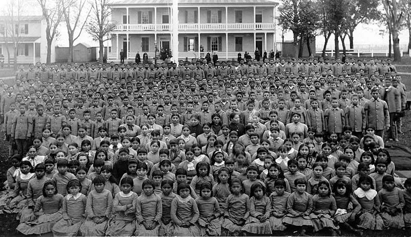 39 mi National MonumentCarlisle Federal Indian Boarding School National Monument
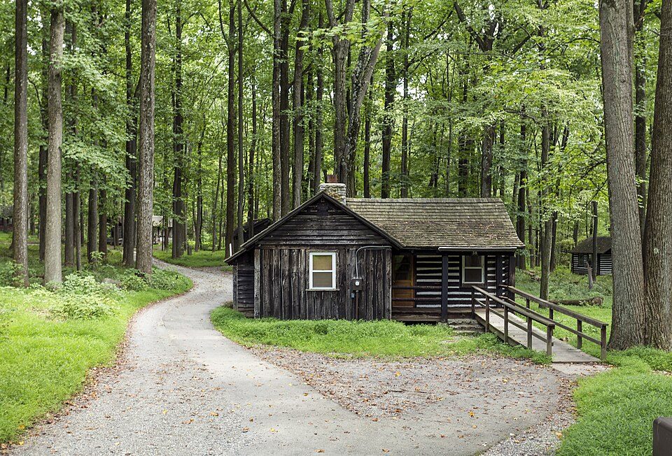 in town National park siteCatoctin Mountain Park461K visitors a year
 17 mi Ancient siteGettysburg Battlefield
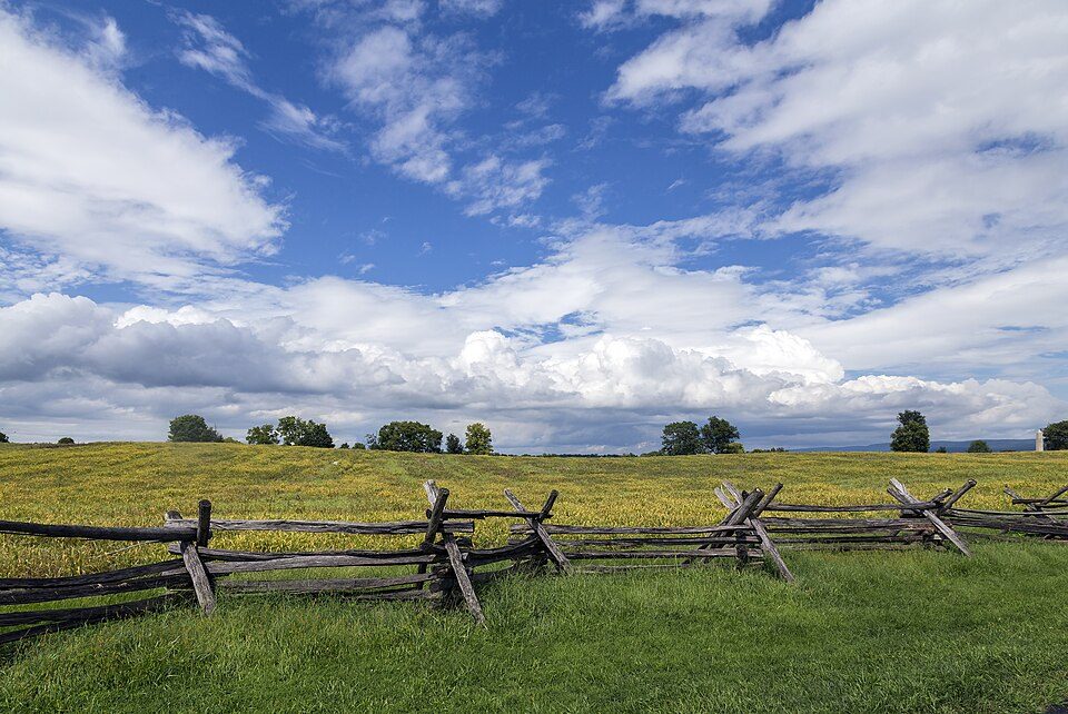 19 mi National BattlefieldAntietam National Battlefield161K visitors a year
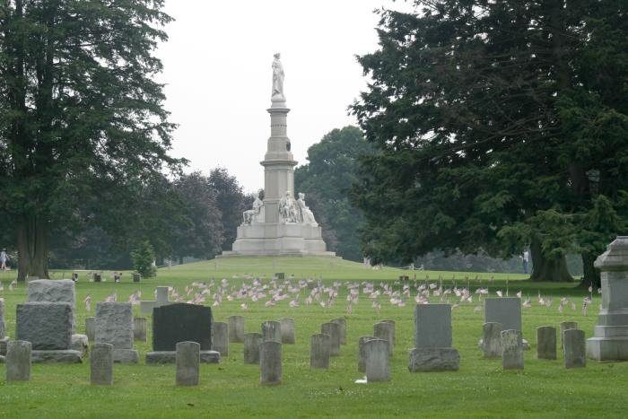 17 mi LandmarkGettysburg National Cemetery
Photo credits
Raven Rock Mountain Complex: US Government, Public domain · Carlisle Federal Indian Boarding School National Monument: Unknown authorUnknown author, Public domain · Catoctin Mountain Park: Acroterion, CC BY-SA 4.0 · Gettysburg Battlefield: Veggies, Public domain · Antietam National Battlefield: Acroterion, CC BY-SA 4.0 · Gettysburg National Cemetery: Photo: Henryhartley at en.wikipedia Statue: Randolph Rogers (1825-1892), Public domain


Moving to Fort Ritchie: who provides what
Fort Ritchie is unincorporated, so Washington County and regional agencies provide most services.
EPA SDWIS (Oct 9, 2026) · HIFLD + EIA-861 2025 · Census 2020 ZCTAs · NCES 2024–25 · registration: vote.gov, updated Mar 11, 2026.
The data
Ordered by what stands out in Fort Ritchie.
Protected land: nearly a third of Fort Ritchie
One park or preserve covers 5 acres in Fort Ritchie.
| Biggest places to walk | Trails | Acres |
|---|---|---|
| 1. South Mountain State Park | — | 5 |
Trails & parks © OpenStreetMap contributors · Conserved land: USGS PAD-US
Fort Ritchie faces a very low natural-hazard risk, led by inland flooding
The FEMA risk score in Fort Ritchie is 1 of 100. Of the losses FEMA expects in the town, 47% come from inland flooding and 22% from hurricanes. Expected storm and flood damage is lower than in 99% of U.S. communities.
FEMA National Risk Index · OpenFEMA
Four seasons and pleasant summers: that is Fort Ritchie’s year
For Fort Ritchie, the January low is 21°F.
Typical low → high °F
NOAA U.S. Climate Normals, 1991–2020
How healthy Fort Ritchie is
Among adults in Fort Ritchie, 23% have been diagnosed with depression and 27% get no exercise outside work. This Maryland town does better than the Maryland average on 4 of 32 CDC measures and worse on 9. 15% of adults smoke cigarettes locally.
| Fort Ritchie | Maryland towns | U.S. towns | |
|---|---|---|---|
| Smoke cigarettes (CDC PLACES) | 15% | 11% | 14% |
| Depression (CDC PLACES) | 23% | 20% | 23% |
| Get no exercise (CDC PLACES) | 27% | 23% | 25% |
| Binge drink (CDC PLACES) | 15% | 14% | 16% |
| What stands out | Fort Ritchie | MD |
|---|---|---|
| Fewer adults facing food insecurity | 11.9% | 15.4% |
| Fewer adults facing a utility shut-off | 6.5% | 8.4% |
| More older adults who have lost all their teeth | 13.3% | 9.9% |
CDC PLACES 2025 · modeled estimates for adults · CMS · HRSA
Everything we know about Fort Ritchie
Colleges nearby
3 within 15 miles of the center of Fort Ritchie
Fort Ritchie’s neighbors
One town shares a border with Fort Ritchie.
| Town | MD rank | Overall | Cost | Safety | Schools | Health |
|---|---|---|---|---|---|---|
| Fort Ritchie | — | — | — | — | — | — |
| Highfield-Cascade | — | — | B− | — | B | B− |
Highfield-Cascade has fewer than 2,500 residents, so it gets subject grades but no overall grade. Highfield-Cascade reports no FBI crime data of its own. Fort Ritchie isn’t graded (fewer than 1,000 residents, or not enough data). Compare Fort Ritchie with a neighbor →
Questions about Fort Ritchie
Short answers, built from the data on this page.
Is Fort Ritchie, MD a good place to live?
We don’t grade Fort Ritchie yet; the figures below are still real. A town in Maryland.