ClarysvilleMD
Settled in 1853, this town now has 13 residents.
Is Clarysville a good place to live?
Only one of the 262 Maryland towns we compare has a higher share of households owning their home than Clarysville. Clarysville has fewer than 1,000 residents, too few for fair grades; the figures below are still real.
13 people, and everyone knows the way
In a town this size, neighbors are the best guide. Ask them anything.
Fallingwater and 15 more within 40 miles
Museums, parks, gardens and other places to visit around Clarysville. Close and well known come first.
 Big draw36 mi MuseumFallingwater
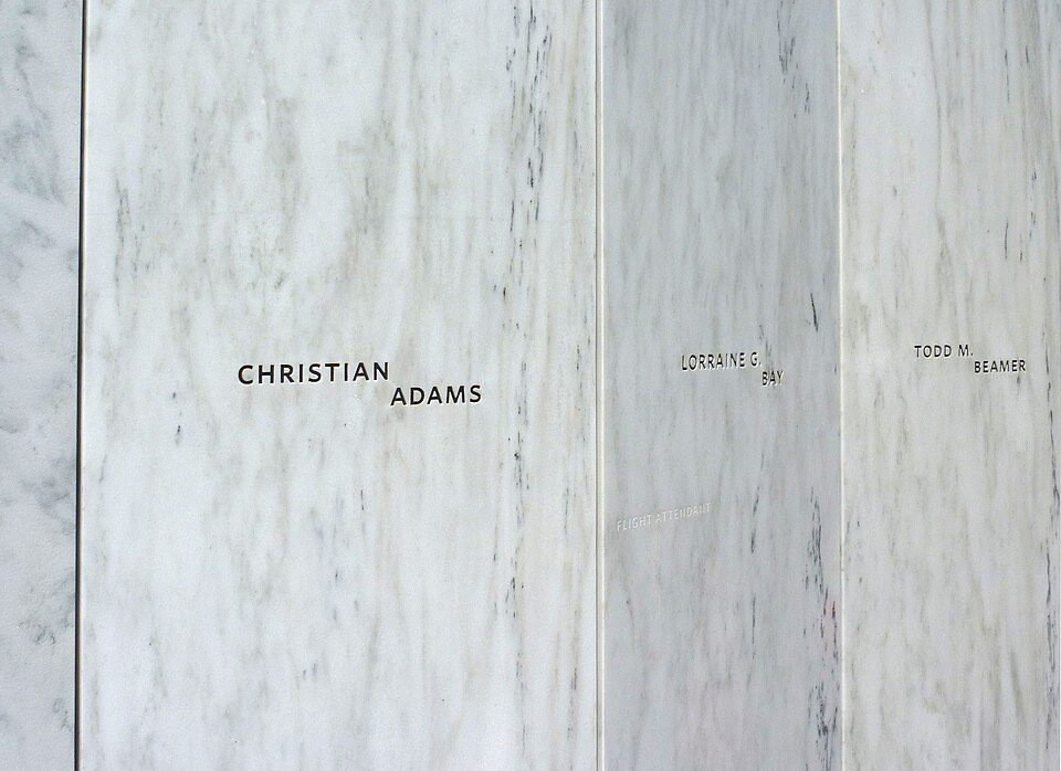 Big draw27 mi National MemorialFlight 93 National Memorial286K visitors a year
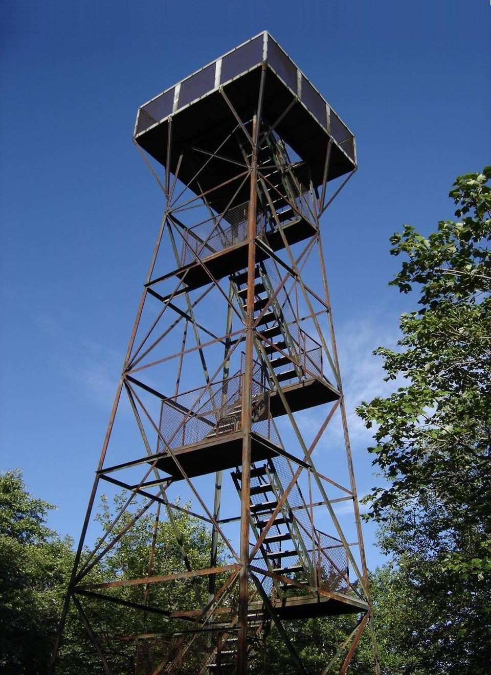 18 mi MountainMount Davis
 6 mi National Historical ParkChesapeake and Ohio Canal National Historical Park4.6M visitors a year
 28 mi LakeDeep Creek Lake
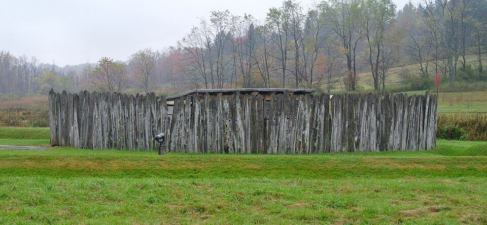 38 mi National BattlefieldFort Necessity National Battlefield226K visitors a year
Photo credits
Fallingwater: Carol M. Highsmith, Public domain · Flight 93 National Memorial: James Steakley, CC BY-SA 3.0 · Mount Davis: Wikiuser100, CC BY-SA 3.0 · Chesapeake and Ohio Canal National Historical Park: Bonnachoven, CC0 · Deep Creek Lake: Gohens84, CC BY-SA 3.0 · Fort Necessity National Battlefield: Wilson44691, CC0


Moving to Clarysville: who provides what
Clarysville is unincorporated, so Allegany County and regional agencies provide most services.
EPA SDWIS (Oct 9, 2026) · HIFLD + EIA-861 2025 · Census 2020 ZCTAs · NCES 2024–25 · registration: vote.gov, updated Mar 11, 2026.
The data
Ordered by what stands out in Clarysville.
The biggest natural risk in Clarysville is inland flooding, at a very low overall level
The FEMA risk score for Clarysville comes to 4 of 100, below both the Maryland town median (6 of 100) and the median of U.S. towns (44 of 100). Of the losses FEMA expects locally, 65% come from inland flooding and 10% from strong winds. Expected storm and flood damage is lower than in 96% of U.S. communities.
FEMA National Risk Index · OpenFEMA
In Clarysville, a typical July afternoon runs cooler than in the typical Maryland or U.S. town
Clarysville brings chilly, snowy winters and pleasant summers. July afternoons reach 82°, January nights drop to 20° and about 72 inches of snow falls in a winter.
Typical low → high °F
NOAA U.S. Climate Normals, 1991–2020
Clarysville stands out in Maryland and nationally, with more of its adults who smoke cigarettes
In Clarysville, 31% of adults have high blood pressure, below both Maryland’s towns (35%) and U.S. towns (35%). Only one of the 262 Maryland towns we compare has a higher share of adults who binge drink than Clarysville. Among adults here, 45% sleep under 7 hours. CDC measures, 32 in all: Clarysville beats Maryland on 6 and trails on 15.
| Clarysville | Maryland towns | U.S. towns | |
|---|---|---|---|
| Smoke cigarettes (CDC PLACES) | 20% | 11% | 14% |
| Frequent mental distress (CDC PLACES) | 22% | 15% | 17% |
| Binge drink (CDC PLACES) | 21% | 14% | 16% |
| Sleep under 7 hours (CDC PLACES) | 45% | 38% | 36% |
| What stands out | Clarysville | MD |
|---|---|---|
| Fewer adults who have had cancer | 5.3% | 7.6% |
| Fewer adults with diabetes | 9.4% | 12.5% |
| More smokers | 20.3% | 10.9% |
CDC PLACES 2025 · modeled estimates for adults · CMS · HRSA
Everything we know about Clarysville
Colleges nearby
3 within 15 miles of the center of Clarysville
About 0 of every 100 Clarysville residents are enrolled in college, against 7 across Maryland.
About Clarysville
Census-designated place in Maryland, United States
Clarysville is an unincorporated community and census-designated place (CDP) in Allegany County, Maryland, United States. As of the 2010 census it had a population of 73. It is located along U.S. Route 40 Alternate at its intersection with Maryland Route 55. Frostburg is 2 miles (3 km) to the west, and Cumberland is 7 miles (11 km) to the east along Route 40 Alt. Clarysville was known around the region for the Clarysville Inn, a historic building which stood from 1807 until it burned in 1999. During the American Civil War, the inn served as a military hospital, treating wounded soldiers. The exit of the Hoffman drainage tunnel, constructed to drain several coal mines, is near Clarysville.
From Wikipedia, licensed CC BY-SA 4.0 · facts via Wikidata (CC0)
- Area
- 0.1 sq mi
- Elevation
- 1,500 ft
Questions about Clarysville
Short answers, built from the data on this page.
Is Clarysville, MD a good place to live?
Clarysville has fewer than 1,000 residents, too few for fair grades; the figures below are still real.