
West ChathamMA
A town of 1,258, settled in 1829.
Is West Chatham a good place to live?
42% of residents are 65 or older in West Chatham, above both Massachusetts’ towns (19%) and U.S. towns (18%). Only 2 of the 284 Massachusetts towns we compare have a higher January low than West Chatham. 23% of the land in West Chatham is conserved, where Massachusetts’ towns sit at 19% and U.S. towns at 4.3%. The biggest park or preserve is Sam Ryder Conservation Area, at 57 acres. We don’t grade West Chatham yet; the figures below are still real.
West Chatham lives by the ocean
Coastal flooding makes up 18% of the storm damage FEMA expects here.
- Hardings Beach Road Directions ↗
- White Pond Beach
FEMA National Risk Index · OpenFEMA · OpenStreetMap
SS Pendleton and 26 more within 40 miles
Museums, parks, gardens and other places to visit around West Chatham. Close and well known come first.
 7 mi Ancient siteSS Pendleton
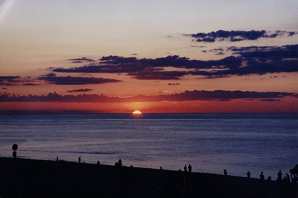 3 mi National SeashoreCape Cod National Seashore3.7M visitors a year
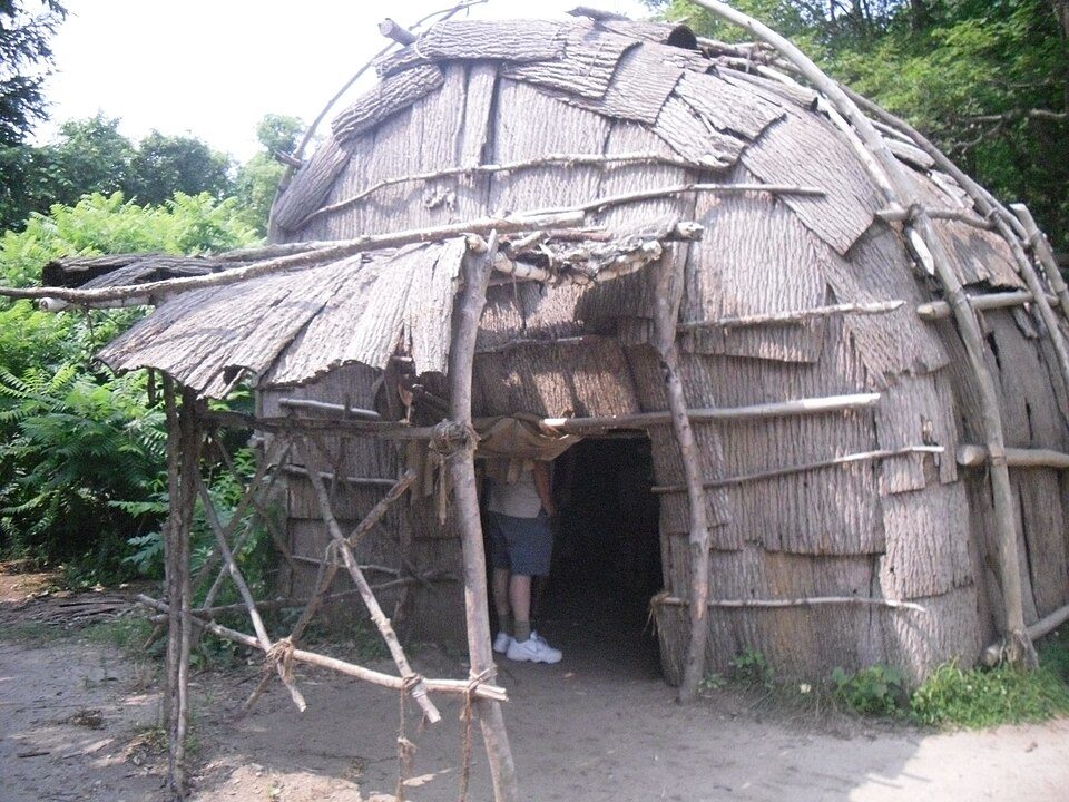 37 mi MuseumPlimoth Patuxet
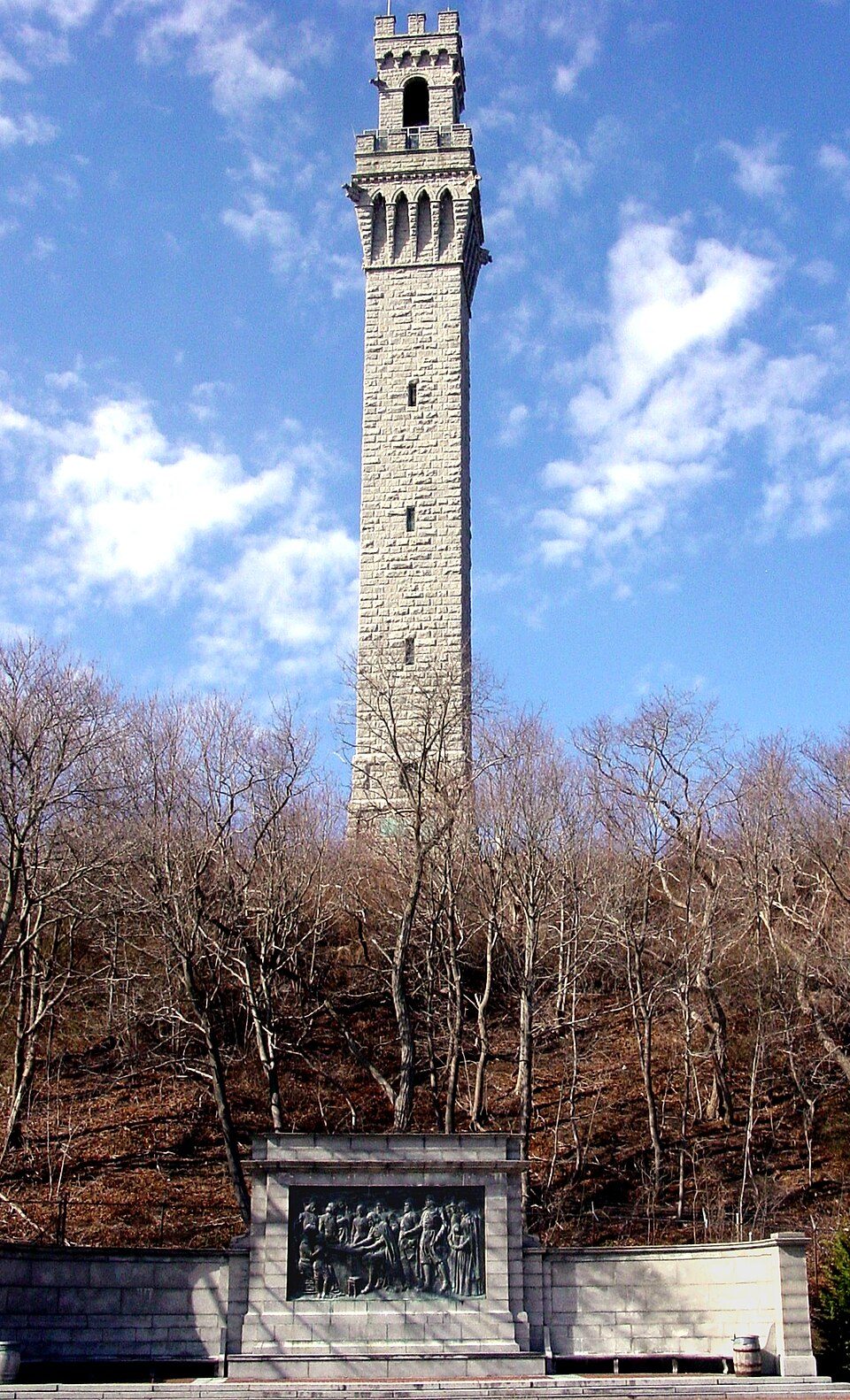 28 mi LandmarkPilgrim Monument
 13 mi MuseumElephant House
 27 mi MuseumSandwich Historical Society and Glass Museum
Photo credits
SS Pendleton: United States Coast Guard, Richard C. Kelsey, Public domain · Cape Cod National Seashore: SeduisantRedux, CC BY 3.0 · Plimoth Patuxet: Tr!sie, CC BY-SA 3.0 · Pilgrim Monument: Peter Whitlock (Transferred by adavyd/Originally uploaded by Willster3), CC BY-SA 3.0 · Elephant House: Nicole Leigh Martel, CC BY-SA 3.0 · Sandwich Historical Society and Glass Museum: Andrewrabbott, CC BY-SA 3.0


Moving to West Chatham: who provides what
West Chatham is unincorporated, so Barnstable County and regional agencies provide most services.
EPA SDWIS (Oct 9, 2026) · HIFLD + EIA-861 2025 · Census 2020 ZCTAs · NCES 2024–25 · registration: vote.gov, updated Nov 18, 2024.
The data
Ordered by what stands out in West Chatham.
West Chatham has set aside 22.6% of its land for conservation
6.2 miles of trail in 21 parks and preserves. West Chatham’s trail density is 1.9 miles per square mile.
| Biggest places to walk | Trails | Acres |
|---|---|---|
| 1. Bailey Parcel | 1.7 mi | 43 |
| 2. Sylvan Gardens | 0.6 mi | 7 |
| 3. Old Queen Anne Road | 0.5 mi | 16 |
Trails & parks © OpenStreetMap contributors · Conserved land: USGS PAD-US
A typical July afternoon in West Chatham is cooler than in the typical Massachusetts or U.S. town
The July high in West Chatham is 77°F. West Chatham has chilly winters and pleasant summers.
Typical low → high °F
NOAA U.S. Climate Normals, 1991–2020
West Chatham stands out in Massachusetts and nationally, with more of its residents who live below the poverty line
22% of West Chatham residents live below the poverty line. Jobs based in West Chatham grew to 491 in 2023, 109 more than in 2013. Among 284 Massachusetts towns, just 3 have a lower share of working residents who work in town than West Chatham.
| West Chatham | Massachusetts towns | U.S. towns | |
|---|---|---|---|
| Below the poverty line | 22% | 6% | 9.6% |
| Average trip to work | 21 minutes | 30 minutes | 25 minutes |
| Working residents who work in town | 3.8% | 9.8% | 8% |
Where working residents work
Census LEHD 2023 · ACS
West Chatham faces a low natural-hazard risk, led by inland flooding
Expected storm and flood damage is lower than in 64% of U.S. communities.
FEMA National Risk Index · OpenFEMA
How healthy West Chatham is
West Chatham beats the Massachusetts average on 16 of 32 CDC measures and trails it on 6. 12% of adults binge drink in West Chatham. No town among the 280 in Massachusetts we compare has a lower share of adults who sleep under 7 hours than West Chatham.
| West Chatham | Massachusetts towns | U.S. towns | |
|---|---|---|---|
| Binge drink (CDC PLACES) | 12% | 17% | 16% |
| Yearly checkup (CDC PLACES) | 88% | 82% | 79% |
| Frequent mental distress (CDC PLACES) | 12% | 16% | 17% |
| Sleep under 7 hours (CDC PLACES) | 27% | 33% | 36% |
| What stands out | West Chatham | MA |
|---|---|---|
| Fewer adults facing housing insecurity | 5.4% | 11.1% |
| Fewer adults facing food insecurity | 6.2% | 12.4% |
| More adults who have had cancer | 15.8% | 8.5% |
CDC PLACES 2025 · modeled estimates for adults · CMS · HRSA
Zillow Home Value Index · Redfin Data Center
Everything we know about West Chatham
Colleges nearby
None within 15 miles of West Chatham; the nearest are
About 3 of every 100 West Chatham residents are enrolled in college, against 8 across Massachusetts.
West Chatham has grown 15% from 2010 to 2020
1,410 counted in 2010 and 1,619 in 2020.
U.S. Census 2010 & 2020 counts
About West Chatham
Census-designated place in Massachusetts, United States
West Chatham is a census-designated place (CDP) in the town of Chatham in Barnstable County, Massachusetts, United States. As of the 2020 census, West Chatham had a population of 1,619.
From Wikipedia, licensed CC BY-SA 4.0 · facts via Wikidata (CC0)
- Area
- 3.3 sq mi
- Elevation
- 49 ft
- ZIP code
- 02669
West Chatham’s neighbors
One town shares a border with West Chatham.
| Town | MA rank | Overall | Cost | Safety | Schools | Health |
|---|---|---|---|---|---|---|
| West Chatham | — | — | — | — | — | — |
| Chatham | #141 | B+ | D | A− | B | A |
West Chatham isn’t graded (fewer than 1,000 residents, or not enough data). Compare West Chatham with a neighbor →
Questions about West Chatham
Short answers, built from the data on this page.
Is West Chatham, MA a good place to live?
We don’t grade West Chatham yet; the figures below are still real.