366 years in pictures
Census counts: 847 in 1790, a low of 847 in 1790, 11,645 in 2020. The archive holds 12 old photos and papers going back to 1939 and 7 maps from 1885 on.
- 1660Carver is settled
Each edition grades its towns against each other only.

Carver grades C+ overall, 231st among Massachusetts's 282 graded towns, with clear strengths and some subjects that lag. It reports less crime per resident than 76% of U.S. towns and it has 93 miles of trail. On the other side, the typical home is worth about $588K, 5.1 years of the Boston metro’s $116K median household income. Carver’s trail density is 2.4 miles per square mile, above both Massachusetts’ towns (1.8) and U.S. towns (0.4). Only 32 of Massachusetts’ 325 towns score lower on walkability. The biggest place to walk is Myles Standish State Forest, 1,868 acres with 22.9 miles of trail.
Where Carver beats most towns.
Census counts: 847 in 1790, a low of 847 in 1790, 11,645 in 2020. The archive holds 12 old photos and papers going back to 1939 and 7 maps from 1885 on.
Each subject compared with towns across the country (schools within Massachusetts), ordered by how far Carver is from typical.
How TownRatings grades towns →
Museums, parks, gardens and other places to visit around Carver. Close and well known come first.
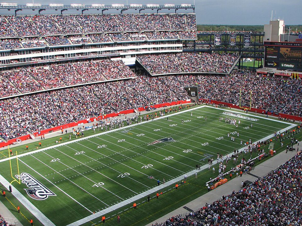
Big draw31 mi Stadium & arenaGillette Stadium
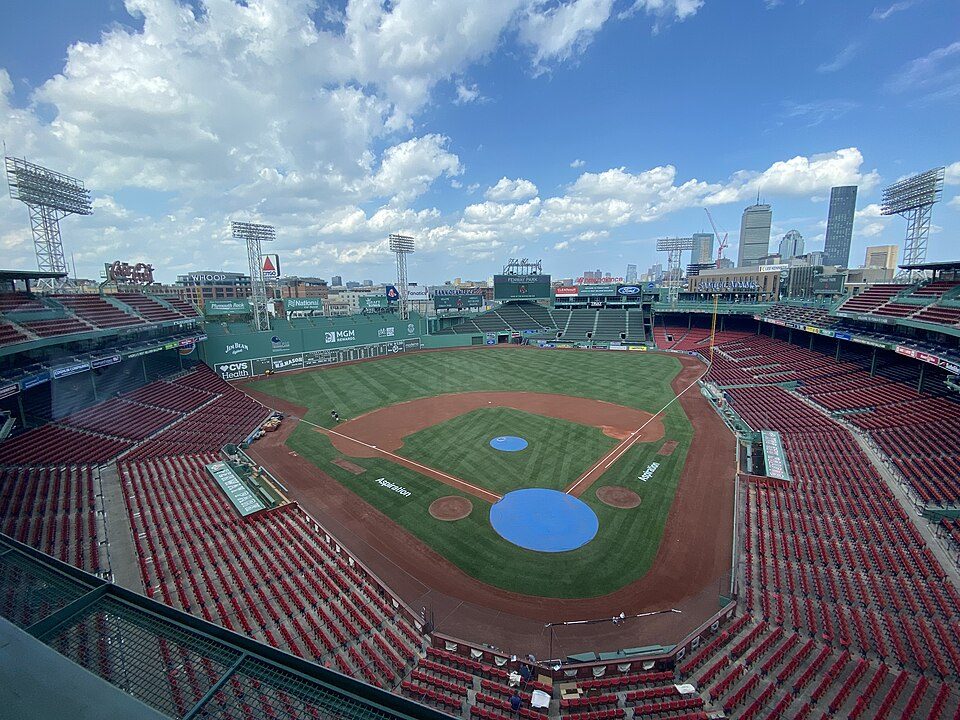
Big draw37 mi Stadium & arenaFenway Park
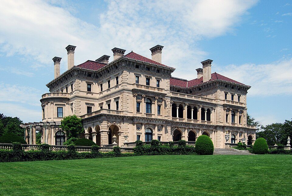
Big draw40 mi MuseumThe Breakers
24 mi MuseumUSS Massachusetts
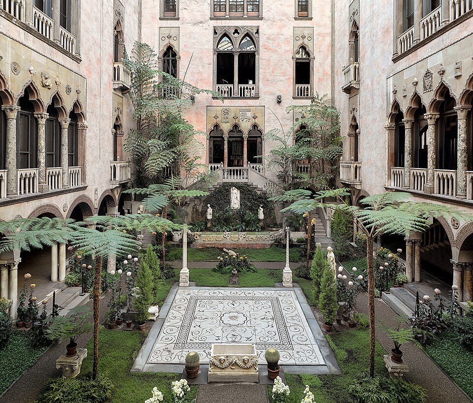
Big draw37 mi MuseumIsabella Stewart Gardner Museum
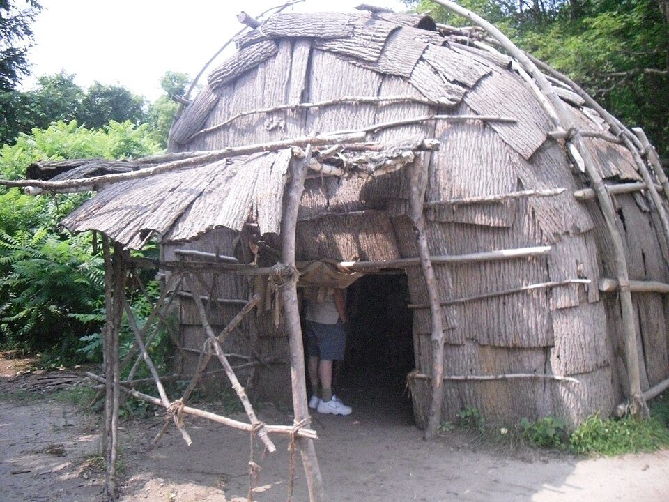
8 mi MuseumPlimoth PatuxetGillette Stadium: Bernard Gagnon, CC BY-SA 3.0 · Fenway Park: Gatorfan252525, CC BY-SA 4.0 · The Breakers: UpstateNYer, CC BY-SA 3.0 · USS Massachusetts: USN, Public domain · Isabella Stewart Gardner Museum: Sean Dungan, CC BY-SA 4.0 · Plimoth Patuxet: Tr!sie, CC BY-SA 3.0
Who provides power, water and the rest in Carver, and how to reach them.
EPA SDWIS (Oct 9, 2026) · HIFLD + EIA-861 2025 · Census 2020 ZCTAs · NCES 2024–25 · registration: vote.gov, updated Nov 18, 2024.
Ordered by what stands out in Carver.
Carver reports less crime than Plympton or any other graded neighbor and is healthy by national standards but behind most towns in Massachusetts.
| Biggest places to walk | Trails | Acres |
|---|---|---|
| 1. Myles Standish State Forest | 22.9 mi | 1,868 |
| 2. Muddy Pond | — | 72 |
| 3. Griffith Cr | — | 39 |
Trails & parks © OpenStreetMap contributors · Conserved land: USGS PAD-US
Its public schools are run by the Carver school district. Its two schools are below. The largest public high school is Carver Middle/High School, with 688 students.
| School | Level | Students | Letter |
|---|---|---|---|
| Carver Elementary SchoolLargest public elementary schoolGrades PK–5 | Grades PK–5 | 788 | C |
| Carver Middle/High SchoolLargest public high schoolGrades 6–12 | Grades 6–12 | 688 | C+ |
NCES · EDFacts · graded within MA on state tests and graduation
Its A− tops all 4 graded towns on its borders; Plympton (B+) comes closest. At 9.7 crimes per 1,000 residents a year, it reports less crime than 59% of Massachusetts’s graded towns.
At 4.1 per 1,000 residents, Carver’s property crime rate is near the Massachusetts town median (4.9) and below the median of U.S. towns (9.9).
| Carver | Massachusetts towns | U.S. towns | |
|---|---|---|---|
| Property crimes per 1,000 (2025) | 4.1 per 1,000 residents | 4.9 | 9.9 |
| Violent crimes per 1,000 (2025) | 1.6 per 1,000 residents | 1.4 | 1.6 |
FBI crime data, 2025 · crimes reported to police
Most working residents leave Carver for work: only 7% work in town. The average trip to work in Carver is 33 minutes. Jobs based in Carver grew to 2,202 in 2023, 456 more than in 2013.
| Carver | Massachusetts towns | U.S. towns | |
|---|---|---|---|
| Average trip to work | 33 minutes | 30 minutes | 25 minutes |
| Median household income | $91,000 | $120,000 | $80,000 |
| Work from home | 14% | 18% | 11% |
| Below the poverty line | 7.5% | 6% | 9.6% |
Census LEHD 2023 · ACS
Within Massachusetts it is less healthy than 81% of the 279 graded towns: Massachusetts sets a high bar.
Carver beats the Massachusetts average on 0 of 32 CDC measures and trails it on 7. 18% of adults report frequent mental distress in Carver.
| Carver | Massachusetts towns | U.S. towns | |
|---|---|---|---|
| Frequent mental distress (CDC PLACES) | 18% | 16% | 17% |
| Obesity (CDC PLACES) | 30% | 28% | 35% |
| Frequent physical distress (CDC PLACES) | 14% | 12% | 14% |
| Depression (CDC PLACES) | 25% | 24% | 23% |
| What stands out | Carver | MA |
|---|---|---|
| More adults with COPD | 7.6% | 5.9% |
| More smokers | 13.8% | 11.3% |
| More adults who have had cancer | 10.3% | 8.5% |
CDC PLACES 2025 · modeled estimates for adults · CMS · HRSA
Carver has chilly, snowy winters and pleasant summers, with plenty of rain. July afternoons reach 83°, January nights drop to 21° and about 31 inches of snow falls in a winter.
NOAA U.S. Climate Normals, 1991–2020
Expected storm and flood damage is lower than in 60% of U.S. communities. Since 1991, 6 flood insurance claims have been paid out in Carver.
FEMA flood insurance claims · FEMA National Risk Index · OpenFEMA
Carver’s median rent is $1,827 a month. The typical Carver home is worth about $588,000, up 3.8% in a year, 10% below the Massachusetts typical home. 89% of Carver households own their home.
| Carver | Massachusetts towns | U.S. towns | |
|---|---|---|---|
| Households that own their home | 89% | 79% | 73% |
| Median rent | $1,827 a month | $1,682 a month | $1,185 a month |
Census ACS, 2020–24 · Zillow Home Value Index · Redfin Data Center
2 within 15 miles of the center of Carver
About 4 of every 100 Carver residents are enrolled in college, against 8 across Massachusetts.
Where Carver’s working residents go each day. Line width shows the share.
Census LEHD 2023
Town in Massachusetts, United States
Carver is a town in Plymouth County, Massachusetts, United States. The population was 11,645 at the 2020 census. It is named for John Carver, the first governor of the Plymouth Colony. The town features two popular tourist attractions: Edaville USA theme park and King Richard's Faire, the largest and longest-running renaissance fair in New England.
From Wikipedia, licensed CC BY-SA 4.0 · facts via Wikidata (CC0)
4 towns share a border with Carver.
| Town | MA rank | Overall | Cost | Safety | Schools | Health |
|---|---|---|---|---|---|---|
| Carver | #231 | C+ | C− | A− | C | B+ |
| Middleborough | #218 | C+ | C− | C+ | C+ | B+ |
| Plymouth | #180 | B | D | B− | B− | A− |
| Plympton | #128 | B+ | B− | B+ | B | B+ |
| Wareham | #247 | C− | C+ | C+ | D | B |
Short answers, built from the data on this page.
Carver grades C+ overall, better than 37% of U.S. towns and #231 of 282 in Massachusetts. It grades B+ for health, A− for safety and C for schools. Cost of living is its weak spot, with a C−.
Yes. Cost of living, which also weighs rents, property taxes and how many households pay 30% or more of their income for housing, grades C−.
2 notable people were born here, including Mike Bennett and Lowell M. Maxham.