Springfield dates to 1636, and 37% of its homes were built before 1940
Among the most historic 1% of U.S. towns · #30 of 283 in Massachusetts. What drives it
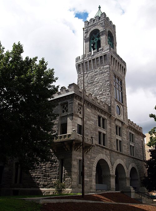
92 places in town are on the National Register, among them the Springfield Armory National Historic Site, a National Historic Landmark, and ten historic districts with 2,001 buildings between them. Below: 4 old photos and papers, maps from 1886 on, and the census since 1790.
Founding year: Wikidata; Wikipedia’s history section gives the same year. First post office: 1773.The full story ↓
History grade
What drives Springfield’s History grade
On its age, its old homes and the National Register, Springfield is among the most historic 1% of U.S. towns, #30 of 283 in Massachusetts. All 3 inputs are above most U.S. towns; its age ranks highest and its National Register listings lowest.
A+
HistoryA character grade: shown, never part of Springfield’s overall grade.
Among the 400 U.S. cities of 100,000 or more, Springfield ranks #18 on History.
Massachusetts towns list more on the Register than most of the country (a typical Massachusetts town has 46.0 per 10,000 residents, the U.S. 2.4), so Springfield’s 137 sits above most of its state (69% of Massachusetts towns have fewer) while its 2,115 historic buildings outnumber those of 99% of U.S. towns.
How sure. Graded on any two of the three inputs instead, the letter would still be A+. The pre-1940 share (±2.0 points) is firm at this size. Two sources give 1636.
Founding year: Wikidata (other dates in Quick answers). Homes: Census ACS 2020–24. National Register: National Park Service, May 2026 list; each listing counted once (boundary changes and added documentation belong to their listing), and a historic district counts its contributing buildings. How TownRatings grades history →
What stands out about Springfield’s past
Read from the archive, the National Register and the record. The page puts what stands out first.
The country’s official list of buildings and places worth saving. One is a National Historic Landmark, the highest tier. Boundary changes and added documentation are counted with their listing.
The area that would become Springfield was historically inhabited by indigenous people, with documented middle archaic period sites, a ceramic workshop site from the Woodland period in south Springfield, and the contact period Long Hill site, excavated in 1895.
At the time of European contact at settlement, the Springfield area was inhabited by the Agawam tribe, who sold land to English settlers.
Passages that mention Springfield, cut from the printed page as they were published.
King's handbook of Springfield, Massachusetts1884Read the page →
Read the text
The station of the Boston and Albany Railroad at Springfield is an ancient structure, hardly adequate to its uses. Seven or eight years ago the company made extensive preparations for the construction of a new and elegant station on the other side of Main Street, with such alterations in the grades of the street and the tracks, that the latter should be carried over the carriage-way, thus obviating the present inconvenient and dangerous crossing of Main Street at grade. But the project was defeated, before the board of railroad-commissioners, by the active opposition of some citizens
Text read by machine from the scan; it may contain errors.
The history of Springfield in Massachusetts, for the young1921 · page 88Read the page →
Read the text
brook perpetuates his name. In fact, when we consider the territory included and the settlers who branched out in one direction or another, for the sake of getting good, large farms all to themselves, yet were really inhabitants of Springfield and voted in its town meeting, we would find old Springfield to embrace the present towns or cities of Holyoke, West Springfield, Agawam, Chicopee, Ludlow, Wilbraham, Hampden, Longmeadow and East Longmeadow. The early settle-
Text read by machine from the scan; it may contain errors.
Scans and text from the Internet Archive. Books published in 1930 or earlier, which are in the public domain.
By decade
Springfield, decade by decade
2 decades in the archive, from the 1630s to the 1810s. Scroll each row; tap a photo for its story.
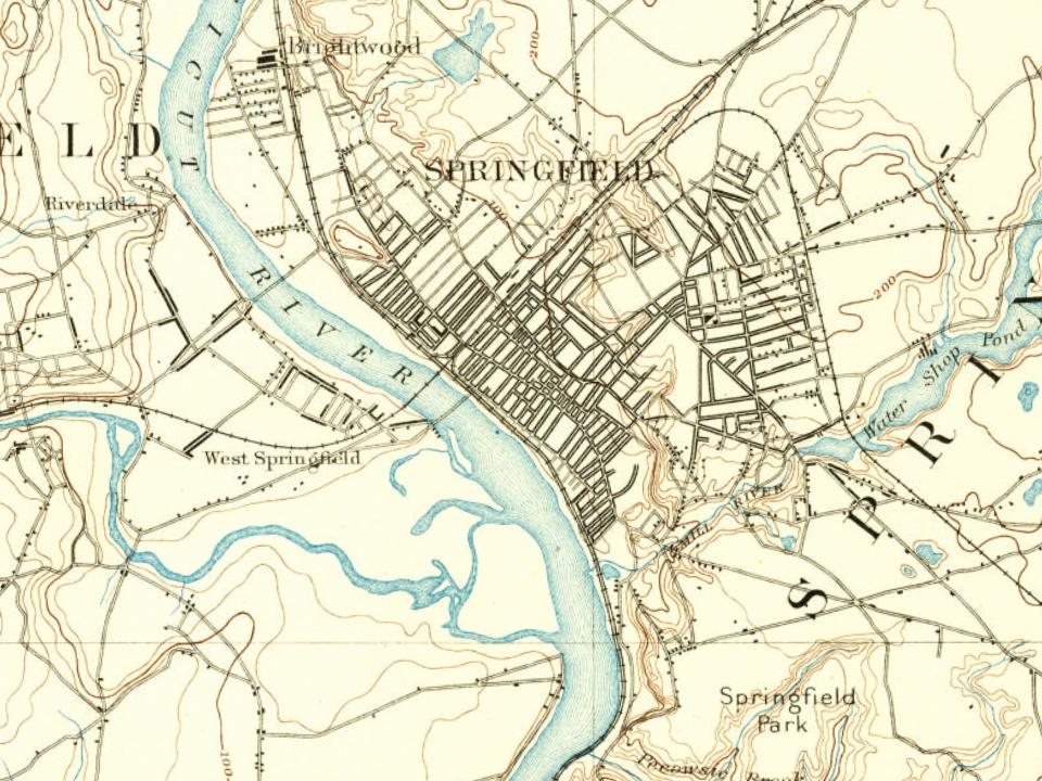
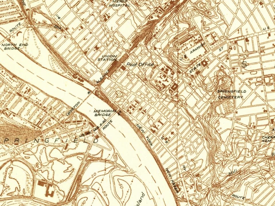
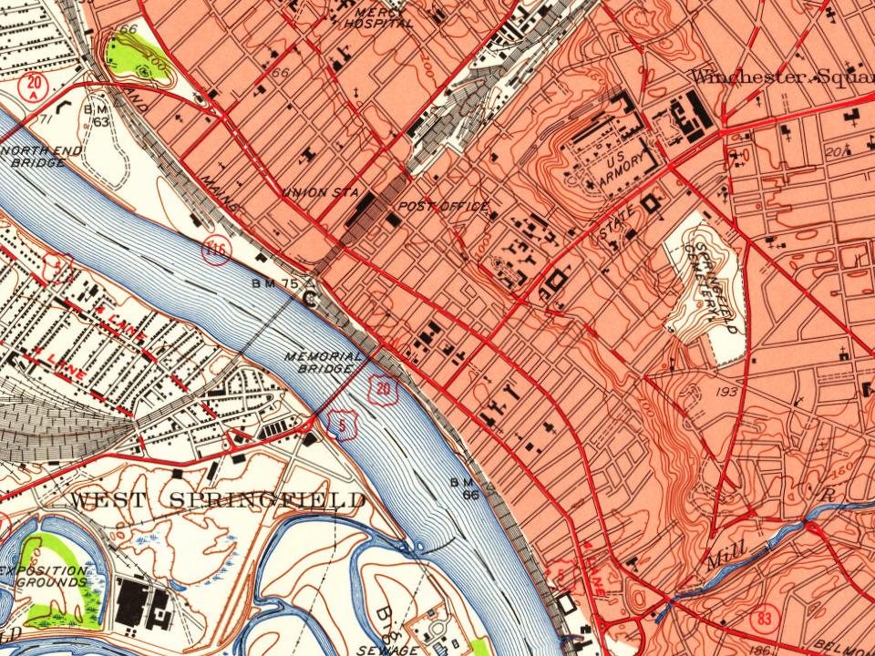
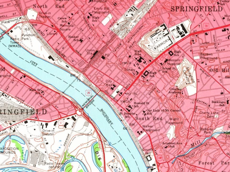
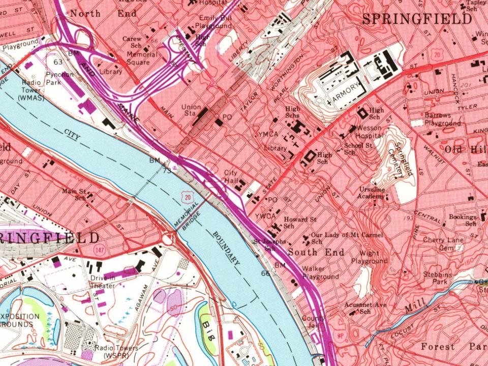
Every edition of the U.S. Geological Survey’s map of Springfield. Tap a year, or press play to watch the town change.
1886Springfield sheet · 1:62,500
U.S. Geological Survey historical topographic maps (public domain), via Esri’s collection of the scans. The red ring marks the center of Springfield.
Every building
Springfield, building by building, 1886–1911
Fire insurance maps drew every building, what it was made of and what it was used for, so insurers could price the risk of fire. Pick a year, then a sheet.
Lost post offices, old corners and burying grounds
Springfield’s post office has been open since 1773. Three other post offices opened and closed inside today’s town.
Springfield
1773–today
Indian Orchard
1854–1972
Brightwood
1874–1903
Sixteen Acres
1887–1903
17701900today
Hamlets and corners on the map
Athol JunctionBrightwoodEast Forest ParkEast SpringfieldFiberloidForest ParkIndian OrchardLiberty HeightsMcKnight and BayNorth EndOld HillPine PointSixteen AcresSouth EndThe XUpper Hill
12cemeteries and burying grounds inside Springfield
Bay PathCherry LaneGate of HeavenHillcrest ParkMaplewoodOak GrovePolish NationalSaint AloysiusSaint BenedictsSaint MichaelsSinai Memorial ParkSpringfield
US Post Offices dataset (Blevins & Helbock, CC0). Places and cemeteries from the USGS Geographic Names Information System (2021).
Help out
Start Springfield’s collection
The first neighbors to add old photos shape how Springfield’s history is told.
Decades since 1900 with photos
00s10s20s30s40s50s60s70s80s90s
0 of 10 decades. The empty ones are waiting for someone’s album.
In 1636, according to Wikidata and Wikipedia’s history of the town. Springfield’s post office opened in 1773, and the first U.S. census counted 1,574 people here in 1790.
How does Springfield rank for history?
Springfield is among the most historic 1% of U.S. towns, #30 of 283 in Massachusetts. The History grade combines the town’s founding era, the share of homes built before 1940 and its National Register listings. It’s a character grade, so it isn’t part of the overall grade. How it works.
What is on the National Register in Springfield?
92 listings: 75 buildings and 17 historic districts with 2,001 contributing buildings. 2,115 historic buildings in all.
How old are the homes in Springfield?
37% of Springfield’s homes were built before 1940 (Census estimate, ±2.0 points), against a typical 21% for a Massachusetts town; the median home was built in 1952.
Founding dates: Wikidata, Wikipedia, the U.S. post office records of Blevins & Helbock (CC0) and the Census. Homes by year built: Census ACS 2020–24. National Register of Historic Places: National Park Service (list of May 22, 2026). Old photos, postcards and papers: Wikimedia Commons, the Library of Congress and other public archives, credited on each item’s page. Maps: U.S. Geological Survey historical topographic maps (via Esri) and Sanborn fire-insurance maps (Library of Congress). History text and census tables: Wikipedia (CC BY-SA 4.0). Places that used to be: USGS Geographic Names Information System (2021).
From Wikimedia Commons (4), Wikidata (2), the National Register of Historic Places (92), Wikipedia, Wikidata and Wikipedia for famous people, U.S. Geological Survey historical maps, U.S. Census counts (via Wikipedia), the US Post Offices dataset (Blevins & Helbock), the USGS Geographic Names Information System, Sanborn fire insurance maps (Library of Congress) and old county and town histories (Internet Archive). Archive images are copied here with their credits and licenses, shown on each photo’s page. Refreshed monthly.
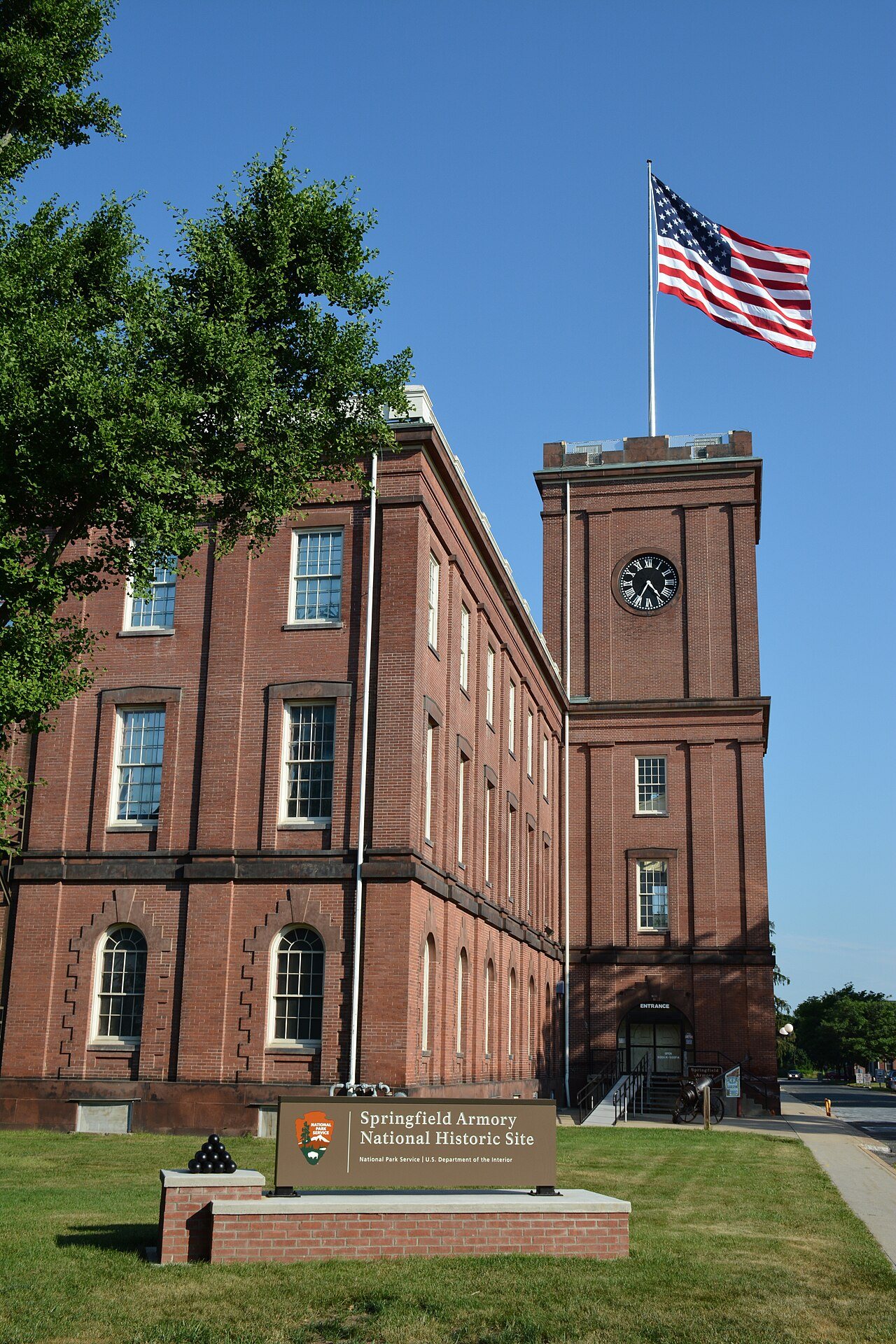

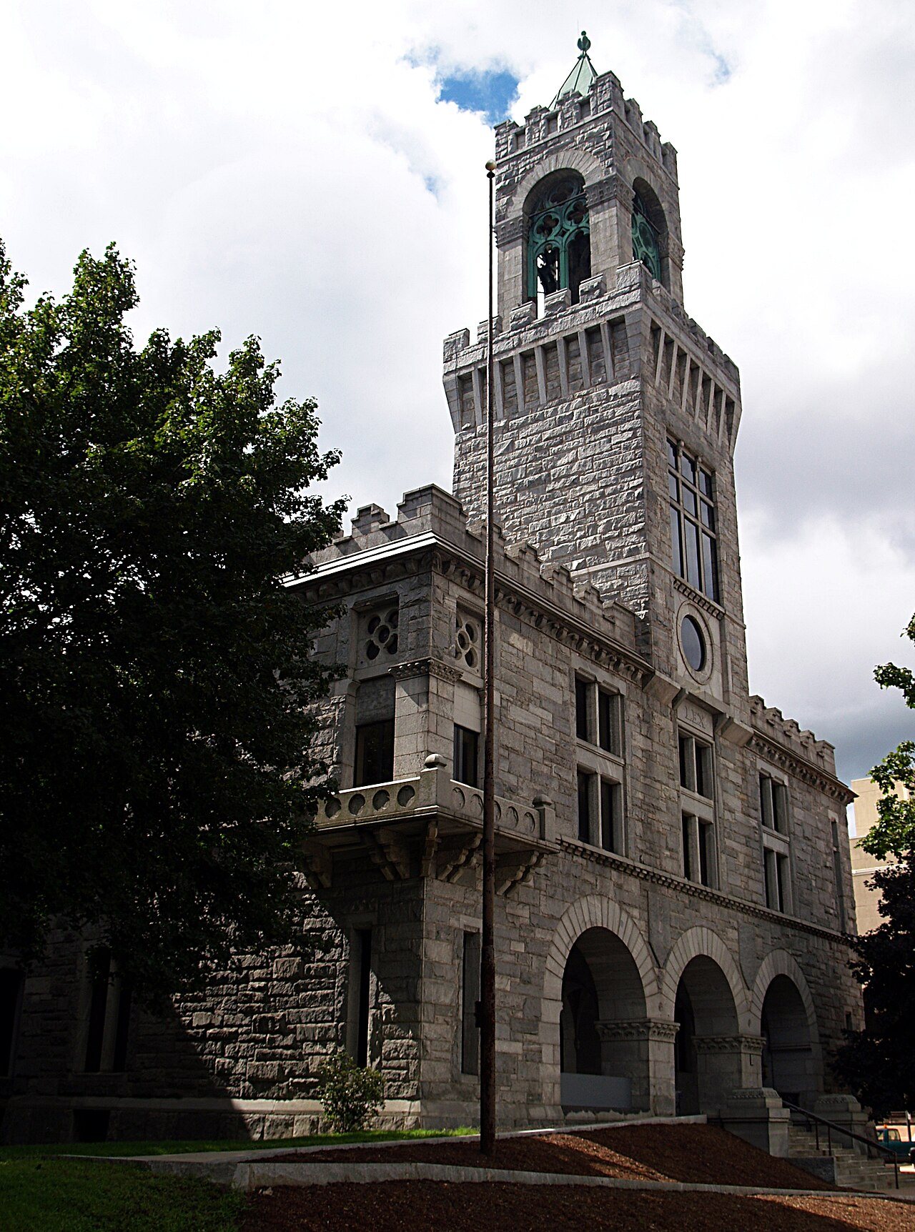
 ★ Landmark



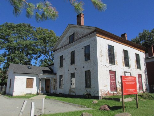


 c. 1819
 c. 1819