Founding year: Wikidata. First post office: 1850.The full story ↓
History grade
What drives Maynard’s History grade
On its age, its old homes and the National Register, Maynard is more historic than 84% of U.S. towns, #199 of 283 in Massachusetts. Its age holds the grade up; its National Register listings pull it down.
A−
HistoryA character grade: shown, never part of Maynard’s overall grade.
Massachusetts towns list more on the Register than most of the country (a typical Massachusetts town has 46.0 per 10,000 residents, the U.S. 2.4), so Maynard’s 0.9 sits below most of its state (8% of Massachusetts towns have fewer) while its 1 listings outnumber those of 51% of U.S. towns.
NoteThe founding year comes from Wikidata alone; no second source gives 1638.
How sure. Graded on any two of the three inputs instead, the letter would range from B+ to A+. The pre-1940 share is a Census survey estimate (±5.8 points).
Founding year: Wikidata (other dates in Quick answers). Homes: Census ACS 2020–24. National Register: National Park Service, May 2026 list; each listing counted once (boundary changes and added documentation belong to their listing), and a historic district counts its contributing buildings. How TownRatings grades history →
What stands out about Maynard’s past
Read from the archive, the National Register and the record. The page puts what stands out first.
Nothing in the archives for these yearsWeddings on Main Street, storms, parades, school pictures, the old store. If it’s in your family album, it belongs here.
Maynard, located on the Assabet River, was first settled as a farming community by Puritan colonists in the 1600s who acquired the land comprising modern-day Maynard from local Native American tribe members who referred to the area as Pompositicut or Assabet. In 1651 Tantamous ("Old Jethro") transferred land in what is now Maynard to Herman Garrett by defaulting on a mortgaged mare and colt, and in 1684 Tantamous' son Peter Jethro, a praying Indian, and Jehojakim and ten others transferred further land in the area to the settlers. In 1676 during King Philip's War, Native Americans gathered on Pompasitticut Hill (later known as Summer Hill) to plan an attack on Sudbury. There is a story, unconfirmed by any evidence, that pirates briefly stayed at the Thomas Smith farm on Great Road, circa 1720, buried treasure nearby, and departed, never to return.
Passages that mention Maynard, cut from the printed page as they were published.
A brief history of the town of Maynard, Massachusetts1921Read the page →
Read the text
The first bridge built in Maynard across the Assabet River, was the "Dr. Woods" bridge, built in 1715, and the "New Lancaster Road" crossed it and carried the traffic west. This bridge is now known as Russell Bridge; about one-eighth of the bridge is in Stow. Travelers now take the Great Road over the Ben Smith Bridge, which was built in 18 16, at a cost of five
Text read by machine from the scan; it may contain errors.
A brief history of the town of Maynard, Massachusetts1921Read the page →
Read the text
Maynard at that time was surrounded by three Indian tribes, and was sometimes called by them Pompositicut. In 1666 "part of this territory was formally laid out". On petition of the white settlers October 12, 1669, the Pompasittakutt plantation was established, and May 16, 1683, the town of Stow was incorporated, extending at that time from the Assabet River to
Text read by machine from the scan; it may contain errors.
Scans and text from the Internet Archive. Books published in 1930 or earlier, which are in the public domain.
Every building
Maynard, building by building, 1899–1924
Fire insurance maps drew every building, what it was made of and what it was used for, so insurers could price the risk of fire. Pick a year, then a sheet.
In 1638, according to Wikidata. Maynard’s post office opened in 1850, and the census of 1880 counted 2,291 people here.
How does Maynard rank for history?
Maynard is more historic than 84% of U.S. towns, #199 of 283 in Massachusetts. The History grade combines the town’s founding era, the share of homes built before 1940 and its National Register listings. It’s a character grade, so it isn’t part of the overall grade. How it works.
What is on the National Register in Maynard?
One place: the Glenwood Cemetery (listed 2004).
How old are the homes in Maynard?
34% of Maynard’s homes were built before 1940 (Census estimate, ±5.8 points), against a typical 21% for a Massachusetts town; the median home was built in 1963.
Founding dates: Wikidata, Wikipedia, the U.S. post office records of Blevins & Helbock (CC0) and the Census. Homes by year built: Census ACS 2020–24. National Register of Historic Places: National Park Service (list of May 22, 2026). Old photos, postcards and papers: Wikimedia Commons, the Library of Congress and other public archives, credited on each item’s page. Maps: U.S. Geological Survey historical topographic maps (via Esri) and Sanborn fire-insurance maps (Library of Congress). History text and census tables: Wikipedia (CC BY-SA 4.0). Places that used to be: USGS Geographic Names Information System (2021).
From Wikimedia Commons (16), the Library of Congress (1), Wikidata (1), the National Register of Historic Places (1), Wikipedia, Wikidata and Wikipedia for famous people, U.S. Geological Survey historical maps, U.S. Census counts (via Wikipedia), the US Post Offices dataset (Blevins & Helbock), the USGS Geographic Names Information System, Sanborn fire insurance maps (Library of Congress) and old county and town histories (Internet Archive). Archive images are copied here with their credits and licenses, shown on each photo’s page. Refreshed monthly.


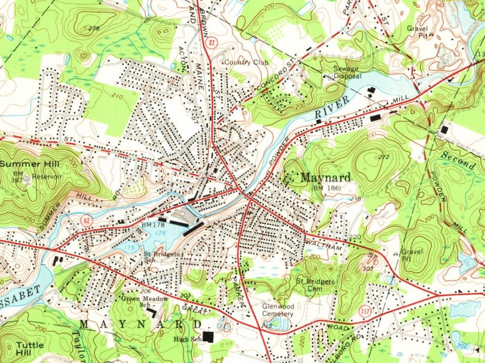
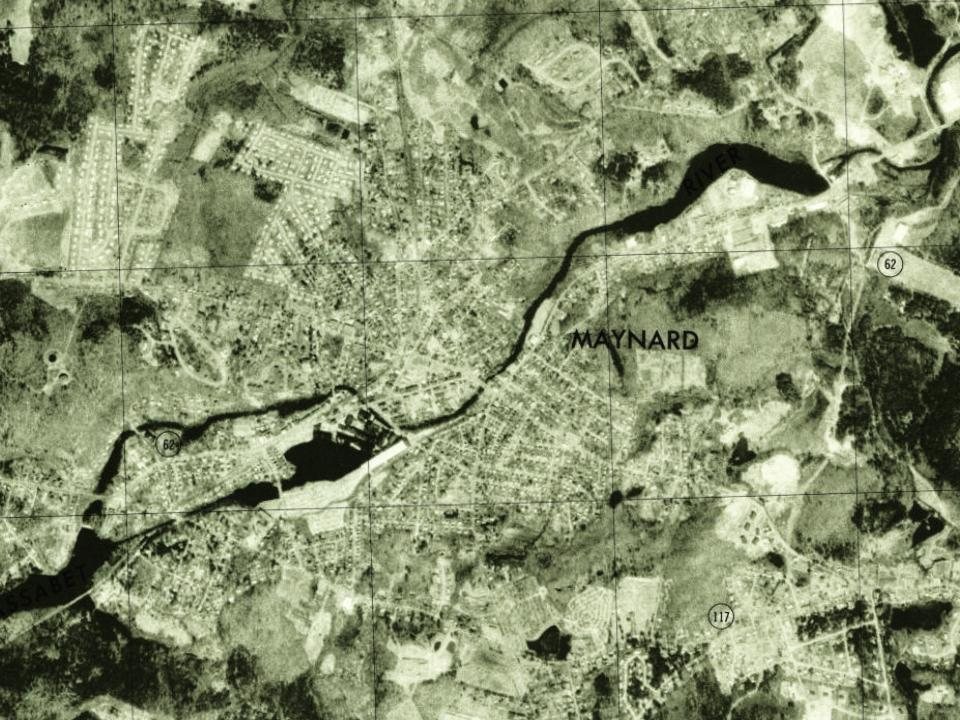

 1879
 1889
 1889
 1901–1907
 c. 1907
 1907–1915
 1907–1915
 c. 1908
 c. 1912
 1921
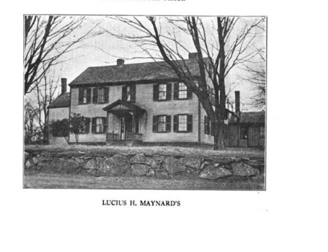 1921


