Hardwick dates to 1737, and 42% of its homes were built before 1940
Among the most historic 1% of U.S. towns · #7 of 283 in Massachusetts. What drives it
3 places in town are on the National Register, among them three historic districts with 231 buildings between them. Below: 4 old photos and papers, maps from 1887 on, and the census since 1790.
Founding year: Wikidata. First post office: 1805.The full story ↓
History grade
What drives Hardwick’s History grade
On its age, its old homes and the National Register, Hardwick is among the most historic 1% of U.S. towns, #7 of 283 in Massachusetts. All 3 inputs put Hardwick near the top nationally; its age ranks highest.
A+
HistoryA character grade: shown, never part of Hardwick’s overall grade.
Massachusetts towns list more on the Register than most of the country (a typical Massachusetts town has 46.0 per 10,000 residents, the U.S. 2.4), so Hardwick’s 861 sits above most of its state (96% of Massachusetts towns have fewer) while its 231 historic buildings outnumber those of 94% of U.S. towns.
NoteThe founding year comes from Wikidata alone; no second source gives 1737.
How sure. Graded on any two of the three inputs instead, the letter would still be A+. The pre-1940 share is a Census survey estimate (±8.0 points).
Founding year: Wikidata (other dates in Quick answers). Homes: Census ACS 2020–24. National Register: National Park Service, May 2026 list; each listing counted once (boundary changes and added documentation belong to their listing), and a historic district counts its contributing buildings. How TownRatings grades history →
What stands out about Hardwick’s past
Read from the archive, the National Register and the record. The page puts what stands out first.
On 27 December 1686, Indigenous Nipmuc tribes transferred land rights to a large area (in the area now known as central Massachusetts) to English settlers from Roxbury; this parcel of land was known to Natives as Wombemessock (meaning "place of chestnuts" or "place of small white fruit") in the Loup language. Many Indigenous peoples were being forced eastward after fighting against settlers in King Phillip's War, and settlers took advantage of the relocations to obtain land rights. The settlers from Roxbury; Joshua Lamb, Nathaniel Paige, Andrew Gardiner, Benjamin Gamblin, Benjamin Tucker, John Curtis, Richard Draper, and Samuel Ruggles; "paid £20" (£4,122.86 or $5,508.94 in 2026) for Wombemessock and would also buy parcels of land in what would become Leicester, Massachusetts and Spencer, Massachusetts.
Passages that mention Hardwick, cut from the printed page as they were published.
History of Hardwick, Massachusetts. With a genealogical register1883 · page 157Read the page →
Read the text
with the conditions in good faith, the town paid forty per cent, of its subscription, amounting to $11,240 ; but on the 5fch of November, 1872, it was " voted, that the money on the subscription of the town of Hardwick to the capital stock of the Massachusetts Central Railroad be withheld until the definite location of the depots of said Railroad in the vicinity of the Old Furnace Village, Hardwick, and between the Common in said Hardwick and Gilbertville, and until the depot in the vicinity of the Old Furnace
Text read by machine from the scan; it may contain errors.
History of Hardwick, Massachusetts1883 · page 73Read the page →
Read the text
I anticipate the order of events a few months, to close my account of Brigadier Ruggles' connection with the revolutionary contest, so far as it had any immediate reference to Hardwick. At the last session of the first Provincial Congress, in Cambridge, December 10, 1774, " the committee appointed to take into consideration the letter and papers enclosed, received from the committee of correspondence of the town of Hardwick, reported; which was read and accepted, and ordered to be published in the
Text read by machine from the scan; it may contain errors.
History of Hardwick, Massachusetts. With a genealogical register1883 · page 144Read the page →
Read the text
More important than any other, indeed more important than all others, was the last addition to the territory of Hardwick. On the east side of "Ware River, between the towns of Hardwick, New Braintree, and Ware, was a tract of unincorporated land, called " Hardwick Gore." Though separated from Hardwick by the river, in many respects its inhabitants were more closely connected with this town than with the others ; they voted here for state officers, their state tax was assessed here, and here
Text read by machine from the scan; it may contain errors.
History of Hardwick, Massachusetts1883 · page 144Read the page →
Read the text
More important than any other, indeed more important than all others, was the last addition to the territory of Hardwick. On the east side of Ware River, between the towns of Hardwick, New Braintree, and Wai'e, was a tract of unincorporated land, called " Hardwick Gore." Though separated from Hardwick by the river, in many respects its inhabitants were more closely connected with this town than with the others ; they voted here for state officers, their state tax was assessed here, and here
Text read by machine from the scan; it may contain errors.
Scans and text from the Internet Archive. Books published in 1930 or earlier, which are in the public domain.
Timeline
Hardwick, 1737 to 1979
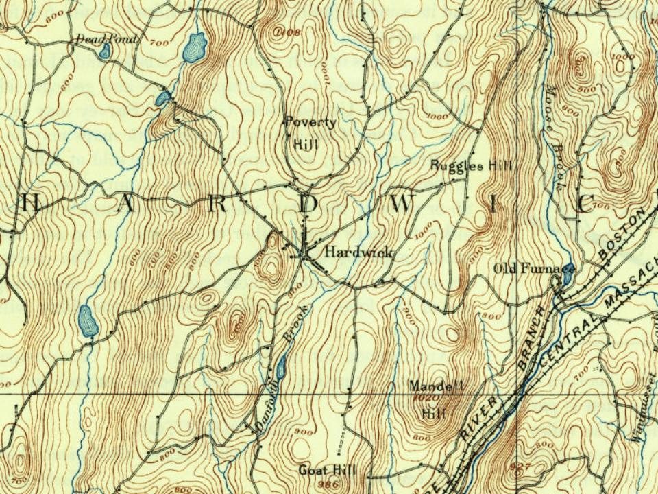
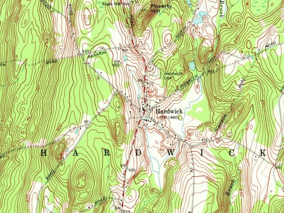
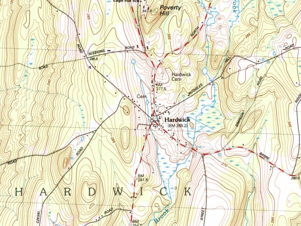
Woven from the archive, old maps, post office records, the National Register and the people born here.
Nothing in the archives for these yearsWeddings on Main Street, storms, parades, school pictures, the old store. If it’s in your family album, it belongs here.
Nothing in the archives for these yearsWeddings on Main Street, storms, parades, school pictures, the old store. If it’s in your family album, it belongs here.
In 1737, according to Wikidata. Hardwick’s post office opened in 1805, and the first U.S. census counted 1,725 people here in 1790.
How does Hardwick rank for history?
Hardwick is among the most historic 1% of U.S. towns, #7 of 283 in Massachusetts. The History grade combines the town’s founding era, the share of homes built before 1940 and its National Register listings. It’s a character grade, so it isn’t part of the overall grade. How it works.
What is on the National Register in Hardwick?
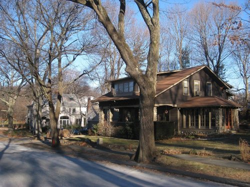
Three places: the Kensington Park Historic District (listed 1985), the Hardwick Village Historic District (1991) and the Gilbertville Historic District (1991).
How old are the homes in Hardwick?
42% of Hardwick’s homes were built before 1940 (Census estimate, ±8.0 points), against a typical 21% for a Massachusetts town; the median home was built in 1968.
Founding dates: Wikidata, Wikipedia, the U.S. post office records of Blevins & Helbock (CC0) and the Census. Homes by year built: Census ACS 2020–24. National Register of Historic Places: National Park Service (list of May 22, 2026). Old photos, postcards and papers: Wikimedia Commons, the Library of Congress and other public archives, credited on each item’s page. Maps: U.S. Geological Survey historical topographic maps (via Esri) and Sanborn fire-insurance maps (Library of Congress). History text and census tables: Wikipedia (CC BY-SA 4.0). Places that used to be: USGS Geographic Names Information System (2021).
From Wikimedia Commons (6), the National Register of Historic Places (3), Wikipedia, Wikidata and Wikipedia for famous people, U.S. Geological Survey historical maps, U.S. Census counts (via Wikipedia), the US Post Offices dataset (Blevins & Helbock), the USGS Geographic Names Information System and old county and town histories (Internet Archive). Archive images are copied here with their credits and licenses, shown on each photo’s page. Refreshed monthly.









 1937
 2011
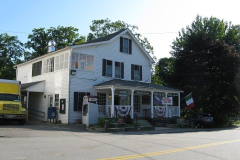 2009
