Guest, Sign inJoin

Post to Groton

We’ll email a one-tap link to publish your post. No password, and nothing is public until you click it.
Already a member? Sign in
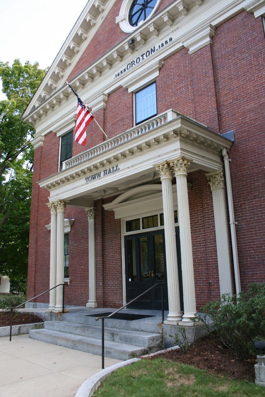
Groton Town Hall
Massachusetts›Middlesex County
Photo: Pvmoutside · CC BY-SA 3.0
Photo of Groton

Groton, MA · Photo: Pvmoutside · CC BY-SA 3.0 · Source ↗

Is Groton a good place to live?

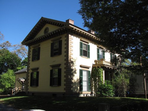
Groton is one of the best-graded places in America: an A+, 7th among Massachusetts's 282 graded towns. It is healthier than 97% of U.S. towns, it reports less crime per resident than 93% of U.S. towns, and its public schools beat 87% of Massachusetts towns on state tests and graduation. Its lowest mark, a C+, is in cost of living. Groton’s median household income is $193,000, above both Massachusetts’ towns ($120,000) and U.S. towns ($80,000). Only 17 of Massachusetts’ 324 towns score higher on cost of living. Its National Register listings include Gov. George S. Boutwell House and Groton Inn.

What makes Groton stand out

Where Groton beats most towns.

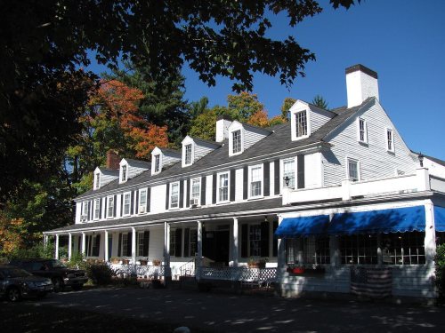
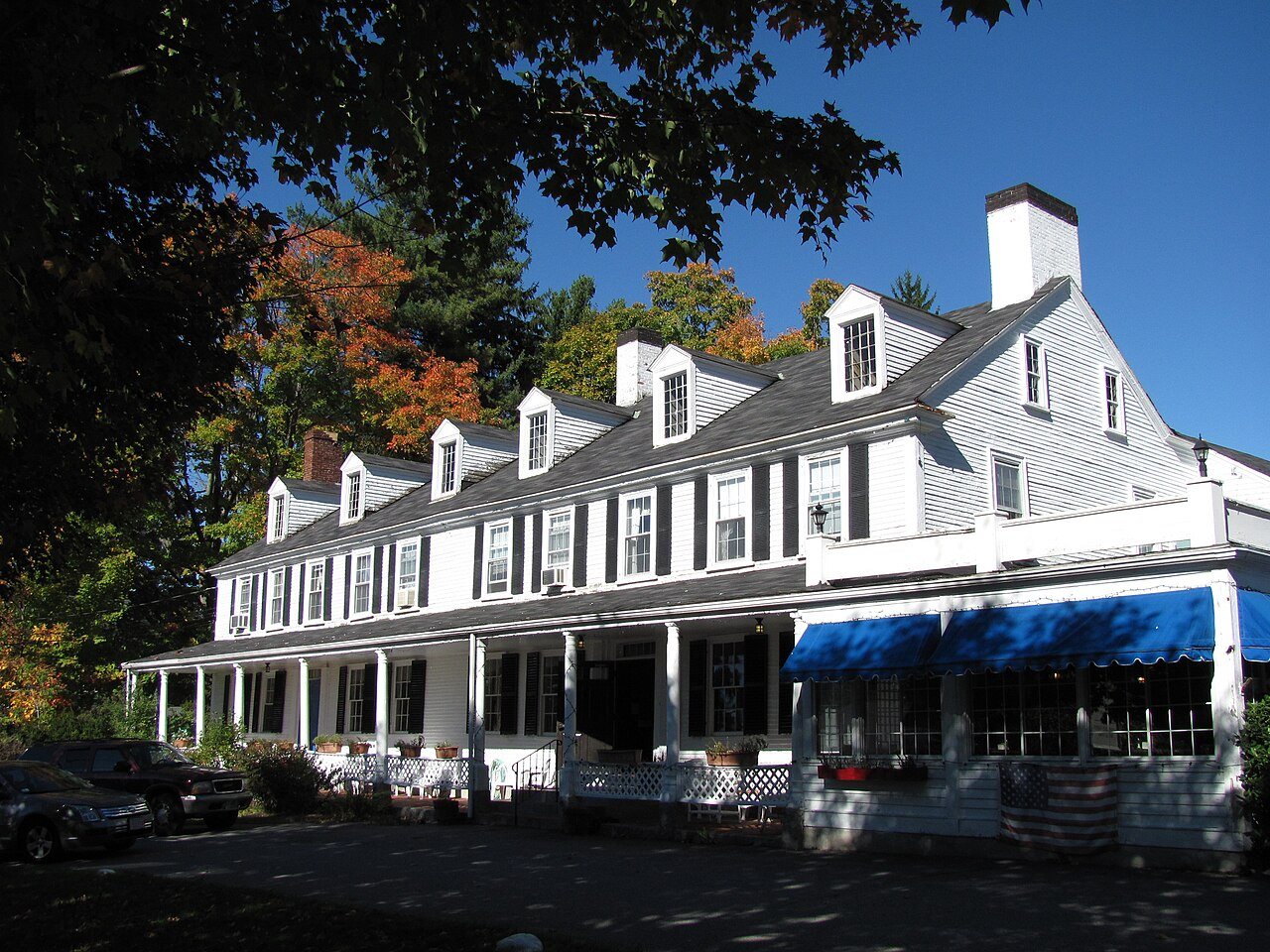
Groton Inn
Groton Inn · National Register of Historic Places
Groton’s story

371 years in pictures

Census counts: 1,840 in 1790, a low of 1,802 in 1800, 11,315 in 2020. The archive holds 18 old photos and papers going back to 1755 and 6 maps from 1893 on.

7 places on the National Register of Historic Places.

  • 1655Groton is settled
Explore the history →

How Groton grades

Each subject compared with towns across the country (schools within Massachusetts), ordered by how far Groton is from typical.

How grading works
Character Graded, but not part of the overall grade.
Described, not graded Taste, not quality: snow or an older crowd is neither good nor bad.

How TownRatings grades towns →

Nearby attractions

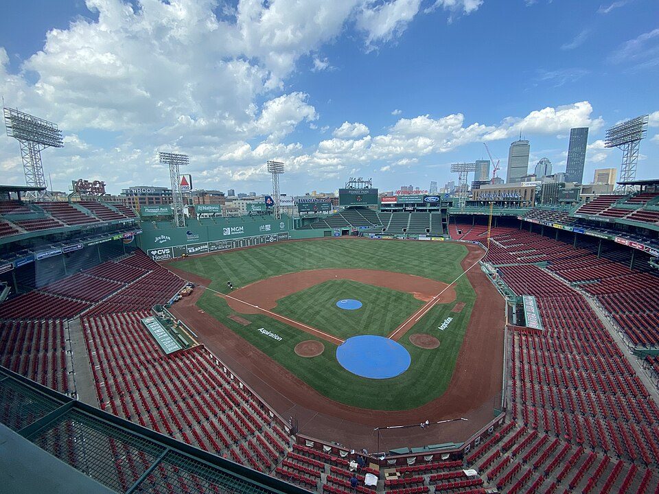
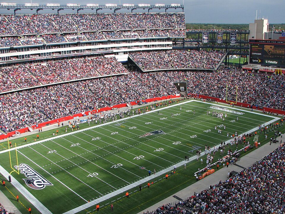
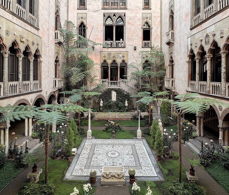
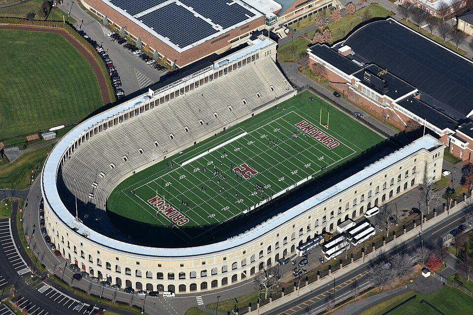
Fenway Park and 164 more within 40 miles

Museums, parks, gardens and other places to visit around Groton. Close and well known come first.

All 232 attractions →
Sources: National Park Service · ski areas © OpenSkiMap / OpenStreetMap contributors · Wikidata · Wikipedia readership · photos via Wikimedia Commons
Photo credits

Fenway Park: Gatorfan252525, CC BY-SA 4.0 · Gillette Stadium: Bernard Gagnon, CC BY-SA 3.0 · Walden Pond: Victorgrigas, CC BY-SA 3.0 · Isabella Stewart Gardner Museum: Sean Dungan, CC BY-SA 4.0 · Freedom Trail: Ingfbruno, CC BY-SA 3.0 · Harvard Stadium: Nick Allen, CC BY-SA 4.0

Getting set up

Moving to Groton: who provides what

Who provides power, water and the rest in Groton, and how to reach them.

The full setup list →
PowerNational Grid33.7¢/kWh · EIA 2025HIFLD · EIA
WaterGroton Water DepartmentNo health-based violations in 5 years · EPAEPA
Internet4 providers99% of addresses get 100/20 MbpsFCC
Trash & dumpGroton Recycling CenterIn townOpenStreetMap
SchoolsGroton-Dunstable School DistrictWhich school depends on your addressNCES
Register to voteOnlineIn Massachusetts you can register online until 10 days before Election Day, in person until 10 days before Election Day, or by mail (postmarked 10 days before).vote.gov
Who runs elections hereGroton Town ClerkThe town itself; contacts on the Handbook page.FVAP, Jun 2023
ZIP code0145001450 100%Census 2020

EPA SDWIS (Oct 9, 2026) · HIFLD + EIA-861 2025 · Census 2020 ZCTAs · NCES 2024–25 · registration: vote.gov, updated Nov 18, 2024.

The data

Ordered by what stands out in Groton.

Groton reports less crime than Westford or any other graded neighbor, keeps more of its land conserved than most of Massachusetts and has less tooth loss than most of Massachusetts.

OutdoorsA+

Compared with most of Massachusetts and the rest of the country, trail density in Groton is higher

Its 7,167 conserved acres are a larger share of the town than in 85% of Massachusetts towns. Its A+ for the outdoors ranks #3 of 283 in Massachusetts.

Groton’s trail density is 4.6 miles per square mile. The biggest place to walk is Wharton Plantation, 678 acres with 6.6 miles of trail. 153 miles of trail in 129 parks and preserves.

#8for trails in MA
33.4%
conserved · 7,167 of 21,489 acres
153 mi
of trails · 4.6 per sq mi
Biggest places to walkTrailsAcres
1. Wharton Plantation6.6 mi678
2. Rocky Hill Wildlife Sanctuary5.7 mi411
3. J. Harry Rich State Forest5 mi386

Trails & parks © OpenStreetMap contributors · Conserved land: USGS PAD-US

SchoolsA

Groton’s grade for schools is an A

Its public schools are run by the Groton-Dunstable school district. Three of its 8 schools are below, each with why it’s listed. The largest public high school is Groton Dunstable Regional, with 659 students.

87%of MA districts it outscoresASchool Grade
SchoolLevelStudentsLetter
Groton Dunstable Regional MiddleLargest public middle schoolGrades 5–8Grades 5–8739A−
Groton Dunstable RegionalLargest public high schoolGrades 9–12Grades 9–12659A+
Florence Roche SchoolTop results in townGrades K–4Grades K–4615A−

NCES · EDFacts · graded within MA on state tests and graduation

HealthA+

Groton’s grade for health is an A+

Its widest gap with Massachusetts is tooth loss: 5.4% of those 65+ have lost all their teeth, against 11.9% statewide. Against the 1,061 U.S. towns with household incomes like Groton’s, it is healthier than 65%, a smaller edge than it has nationally: part of it comes with its incomes.

29% of Groton adults sleep under 7 hours. Groton beats the Massachusetts average on 19 of 32 CDC measures and trails it on 1. 24% of Groton adults have obesity.

97%healthier than U.S. townsA+Health Grade
GrotonMassachusetts townsU.S. towns
Sleep under 7 hours (CDC PLACES)29%33%36%
Obesity (CDC PLACES)24%28%35%
Frequent physical distress (CDC PLACES)10%12%14%
Get no exercise (CDC PLACES)16%19%25%
32 measures vs. Massachusetts
19 better12 too close to call1 worse
What stands outGrotonMA
Fewer older adults who have lost all their teeth5.4%11.9%
Fewer uninsured adults2.8%5.2%
More adults who have had cancer9.4%8.5%
Nashoba Valley Medical Center
3.2 mi away · emergency room
None
primary care, dental or mental-health shortage
84th
percentile among MA towns

CDC PLACES 2025 · modeled estimates for adults · CMS · HRSA

SafetyA

Groton’s grade for safety is an A

Its A tops all 6 graded towns on its borders; Westford (A) comes closest. Reported crimes rose from 27 to 36 over the last three FBI years, a rise beyond ordinary year-to-year swings.

The property crime rate in Groton is 2.1 per 1,000 residents.

93%of U.S. towns report more crimeASafety Grade
GrotonMassachusetts townsU.S. towns
Property crimes per 1,000 (2025)2.1 per 1,000 residents4.99.9
Violent crimes per 1,000 (2025)1 per 1,000 residents1.51.6

Violent crime per 1,000 residents

Groton1
Massachusetts3
U.S.3.3

Property crime per 1,000 residents

Groton2.1
Massachusetts10.4
U.S.15.5
93rd
percentile among U.S. towns we grade
94th
percentile among MA towns
12
violent crimes reported in 2025
24
property crimes reported in 2025

FBI crime data, 2025 · crimes reported to police

Natural hazardsHazard risk grade A−

Very low risk in Groton, with inland flooding at the top

Expected storm and flood damage is lower than in 81% of U.S. communities. One flood insurance claim has been paid in Groton since 2010.

19risk score of 100
FEMA risk score
19Very low riskLowerHigher
Inland floodingHurricanesDrought
1
paid flood claims since 2010
12
federal disasters paid out here

FEMA flood insurance claims · FEMA National Risk Index · OpenFEMA

Work & commuteJobs & income grade A−

With 0.6 jobs for every working resident, most of Groton’s workers commute out

27.5% of workers work from home, against 18.6% across Massachusetts.

Most working residents leave Groton for work: only 9% work in town. 28% of workers work from home in Groton. The top destinations are Boston (10%), Westford (4%) and Cambridge (4%).

9%work in town
GrotonMassachusetts townsU.S. towns
Work from home28%18%11%
Average trip to work32 minutes30 minutes25 minutes
Below the poverty line3.8%6%9.6%

Where working residents work

In Groton9%
Boston10%
Westford4%
Cambridge4%
Lowell3%
19 mi
median commute distance
3,126
jobs based in Groton
A commuter town
jobs vs. working residents
B+
Walkability grade: more walkable than 69% of U.S. towns

Census LEHD 2023 · ACS

Climate

Groton has snowy winters and pleasant summers

Groton has chilly, snowy winters and pleasant summers. July afternoons reach 84°, January nights drop to 16° and about 53 inches of snow falls in a winter.

53″snow a winter

Typical low → high °F

Winter18–37°
Spring35–58°
Summer58–81°
Fall40–62°
Oct 10
typical first frost
Apr 30
typical last frost
+1.7°
vs. the 20th-century average

NOAA U.S. Climate Normals, 1991–2020

HousingCost of living grade C+

The typical home in Groton is valued at about $777K

The typical Groton home is worth about $777,000, up 2.1% in a year, 19% above the Massachusetts typical home.

$777KZillow home value
GrotonMassachusetts townsU.S. towns
Households that own their home89%79%73%
Median rent$1,458 a month$1,683 a month$1,185 a month

Typical home value

Groton$777K
Massachusetts$655K
Market temperature
Seller’s marketA seller's marketBuyer’sSeller’s
20
days on market
104.2%
sale-to-list price
+2.1%
value change, 1 year
13
homes sold in May

Zillow Home Value Index · Redfin Data Center

Keep exploring

Everything we know about Groton

20pages on Groton
After high school

Colleges nearby

6 within 15 miles of the center of Groton

Get outside

153 miles of trails in Groton

33.4% of the town is conserved land, across 129 parks and preserves.

Map of trails and conserved land in GrotonConservedTrails
1
Wharton Plantation6.6 mi of trails · 678 acres
Directions
2
Rocky Hill Wildlife Sanctuary5.7 mi of trails · 411 acres
Directions
3
J. Harry Rich State Forest5 mi of trails · 386 acres
Directions
Trails © OpenStreetMap contributors · USGS PAD-US

Landmarks

7 places in Groton on the National Register of Historic Places.

All landmarks →

Famous people from Groton

19 notable people were born in Groton.

See all 19 →

About Groton

Town in Massachusetts, United States

Official town website ↗

Groton is a town in northwestern Middlesex County, Massachusetts, United States, within the Greater Boston metropolitan area. The population was 11,315 at the 2020 census. It contains the census-designated place of the same name. An affluent bedroom community roughly 45 miles from Boston, Groton has a large population of professional workers, many of whom work in Boston's tech industry. It is loosely connected to Boston by highways (Route 2) and commuter rail (the MBTA Fitchburg Line). The town has a long history dating back to the colonial era. It was a battlefield in King Philip's War and Queen Anne's War, and several Grotonians played notable roles in the American Revolution (including W…

From Wikipedia, licensed CC BY-SA 4.0 · facts via Wikidata (CC0)

Established
1655
Area
34 sq mi
Elevation
322 ft
ZIP code
01450, 01472

Groton’s neighbors

7 towns share a border with Groton.

Explore the map →

At #7 in MA, it grades higher overall than all 7 graded towns on its borders; Dunstable (A+) comes closest.

How the neighbors grade
TownMA rankOverallCostSafetySchoolsHealth
Groton#7A+C+AAA+
Shirley#105A−C+A−C+A
Pepperell#97A−CA−BA
Ayer#123B+C+BC+A−
Dunstable#27A+C+AAA+
Westford#37A+DAAA+
Tyngsborough#220C+D—C+A
Littleton#43A+C−AA−A+

Tyngsborough reports no FBI crime data of its own. Compare Groton with a neighbor →

Questions about Groton

Short answers, built from the data on this page.

Is Groton, MA a good place to live?

Yes, by almost any measure. Groton grades A+ overall, among the top 2% of U.S. towns and #7 of 282 in Massachusetts. It grades A+ for health, A for safety and A for schools.

Is Groton, MA expensive?

That is 6.7 years of the area's median household income ($115,863 across the Boston-Cambridge-Newton, MA-NH metro area). Cost of living, which also weighs rents, property taxes and how many households pay 30% or more of their income for housing, grades C+.

What is Groton, MA known for?

19 notable people were born here, including Edmund Charles Tarbell and William Prescott.