Douglas dates to 1721, and 22% of its homes were built before 1940
More historic than 91% of U.S. towns · #132 of 283 in Massachusetts. What drives it
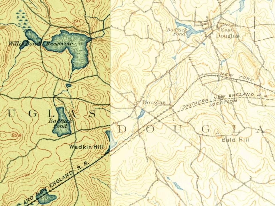
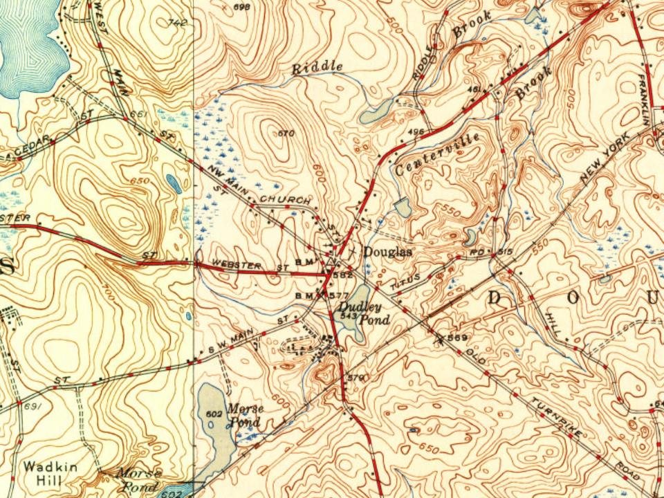
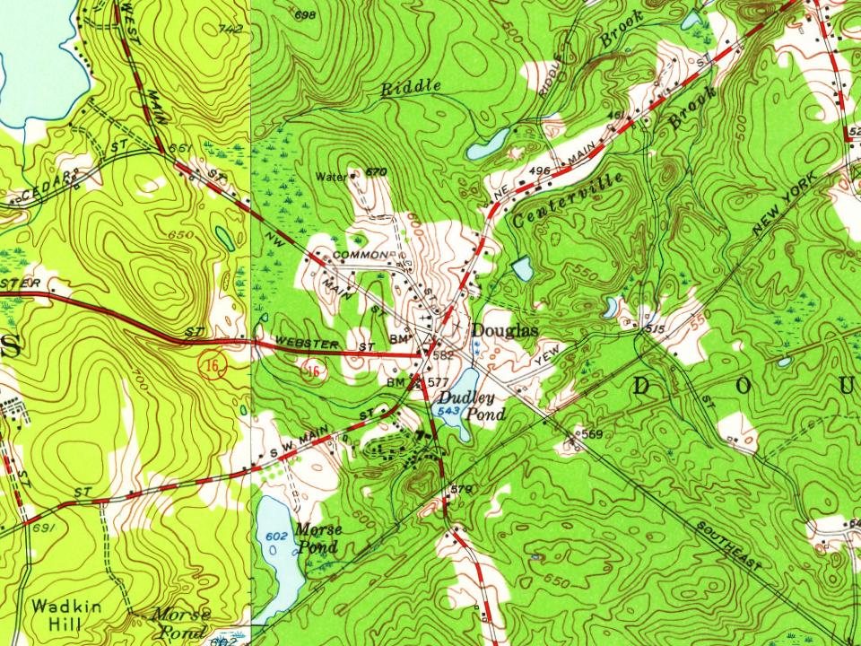
3 places in town are on the National Register, among them two historic districts with 44 buildings between them. Below: 1 old photo or paper, maps from 1886 on, and the census since 1790.
Founding year: Wikidata. First post office: 1815.The full story ↓
History grade
What drives Douglas’ History grade
On its age, its old homes and the National Register, Douglas is more historic than 91% of U.S. towns, #132 of 283 in Massachusetts. All 3 inputs are above most U.S. towns; its age ranks highest and its National Register listings lowest.
A
HistoryA character grade: shown, never part of Douglas’ overall grade.
Massachusetts towns list more on the Register than most of the country (a typical Massachusetts town has 46.0 per 10,000 residents, the U.S. 2.4), so Douglas’ 48.9 sits near the middle of its state (48% of Massachusetts towns have fewer) while its 45 historic buildings outnumber those of 84% of U.S. towns.
NoteThe founding year comes from Wikidata alone; no second source gives 1721.
How sure. Graded on any two of the three inputs instead, the letter would range from A− to A. The pre-1940 share is a Census survey estimate (±6.4 points).
Founding year: Wikidata (other dates in Quick answers). Homes: Census ACS 2020–24. National Register: National Park Service, May 2026 list; each listing counted once (boundary changes and added documentation belong to their listing), and a historic district counts its contributing buildings. How TownRatings grades history →
What stands out about Douglas’ past
Read from the archive, the National Register and the record. The page puts what stands out first.
The name of Douglas was first given to the territory of the town in the year 1746. New Sherborn or "New Sherborn Grant" had previously been its designation, since its first occupancy by the English settlers which was as early as 1715. The first English settlers came primarily from Sherborn, although many hailed from Natick as well. New Sherburn was removed from Suffolk County to Worcester County at its formation on April 2, 1731. The name Douglas was given in 1746, when Dr. William Douglass, an eminent physician of Boston, in consideration of the privilege of naming the township offered the inhabitants the sum of $500.00 as a fund for the establishment of free schools together with a tract of 30 acres (12 ha) of land with a dwelling house and barn thereon. It is said that there were subsequent pledges made by Dr. Douglas in the form of a bell for the Center School and 50 sterling pound…
Passages that mention Douglas, cut from the printed page as they were published.
Historic homes and institutions and genealogical and personal memoirs of Worcester county, Massachusetts, with a history of Worcester society of antiquity1907 · page 24Read the page →
Read the text
When he was about a year old the family moved to East Douglas in the town of Douglas, Massachusetts. Here he attended the common schools. At the age of eighteen he came to Worcester and entered upon a mercantile life, which he followed for a number of years. He worked first for Bryant •& Wyley, wholesale notion dealers and jobbers in fancy goods in the Stockwell building, Mechanic
Text read by machine from the scan; it may contain errors.
Historic homes and institutions and genealogical and personal memoirs of Worcester county, Massachusetts, with a history of Worcester society of antiquity1907 · page 52Read the page →
Read the text
prietors. March 21. 1745-46. adjoining David Aldrich's. His father conveyed to him, April 25, 1743, two hundred acres in Uxbridge. He bought a farm of fifty-three acres in Douglas, November 27- 173S. but seemed to prefer Uxbridge as a home. He bought of Robert Clark, of Uxbridge, forty-eight acres at a place in Uxbridge called Hoop Pole Hill,.
Text read by machine from the scan; it may contain errors.
History of Grafton, Worcester county, Massachusetts, from its early settlement by the Indians in 1647 to the present time, 1879. Including the genealogies of seventy-nine of the older families1879 · page 34Read the page →
Read the text
Worcester, Oxford, and New Sherburne (now Douglas), and this was confirmed to the purchasers, May 15tli, 1704, and formed into a township. That part of the original purchase which fell to the eastward of Grafton, was, part of it, many years ago, annexed to the town of Westhorough, and the other part, with some from Mendon and Hopkinton, taken to form the town of Upton.] In the year 1675, a century before the American Revolu-
Text read by machine from the scan; it may contain errors.
Scans and text from the Internet Archive. Books published in 1930 or earlier, which are in the public domain.
Timeline
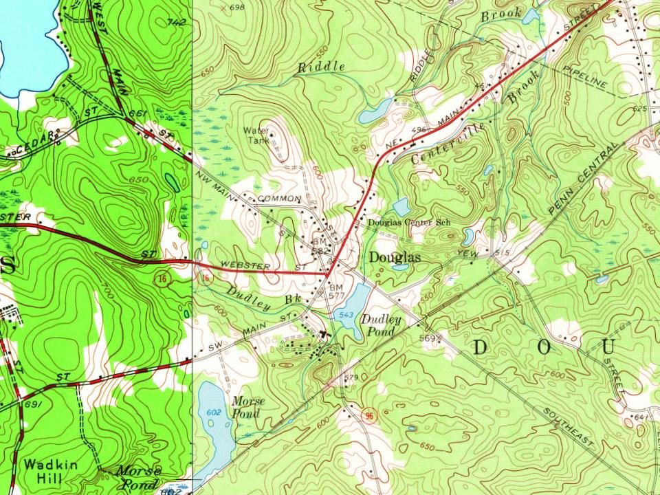
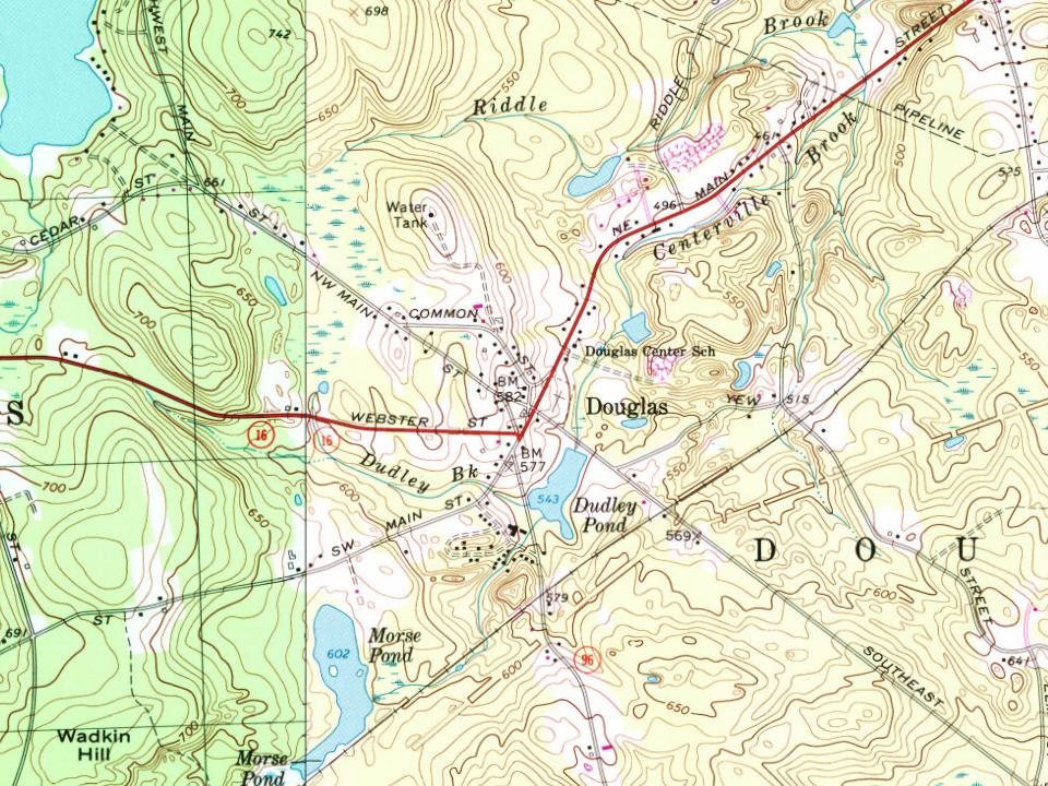
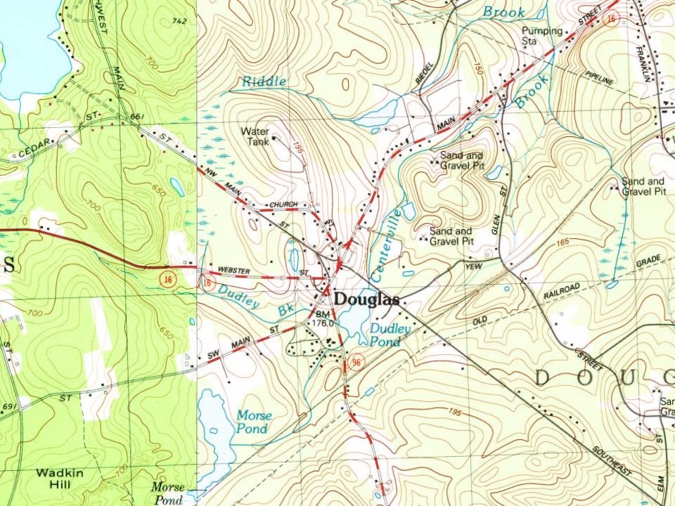
Douglas, 1721 to 1938
Woven from the archive, old maps, post office records, the National Register and the people born here.
Nothing in the archives for these yearsWeddings on Main Street, storms, parades, school pictures, the old store. If it’s in your family album, it belongs here.
In 1721, according to Wikidata. Douglas’ post office opened in 1815, and the first U.S. census counted 1,079 people here in 1790.
How does Douglas rank for history?
Douglas is more historic than 91% of U.S. towns, #132 of 283 in Massachusetts. The History grade combines the town’s founding era, the share of homes built before 1940 and its National Register listings. It’s a character grade, so it isn’t part of the overall grade. How it works.
What is on the National Register in Douglas?
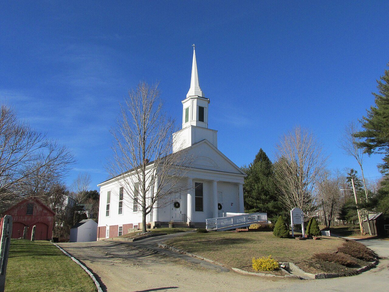
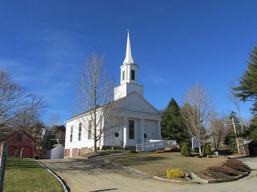
Three places: the E. N. Jenckes Store (listed 1988), the Hayward Mill (1991) and the Old Douglas Center Historic District (2001).
How old are the homes in Douglas?
22% of Douglas’ homes were built before 1940 (Census estimate, ±6.4 points), against a typical 21% for a Massachusetts town; the median home was built in 1986.
Founding dates: Wikidata, Wikipedia, the U.S. post office records of Blevins & Helbock (CC0) and the Census. Homes by year built: Census ACS 2020–24. National Register of Historic Places: National Park Service (list of May 22, 2026). Old photos, postcards and papers: Wikimedia Commons, the Library of Congress and other public archives, credited on each item’s page. Maps: U.S. Geological Survey historical topographic maps (via Esri) and Sanborn fire-insurance maps (Library of Congress). History text and census tables: Wikipedia (CC BY-SA 4.0). Places that used to be: USGS Geographic Names Information System (2021).
From Wikimedia Commons (12), the National Register of Historic Places (3), Wikipedia, Wikidata and Wikipedia for famous people, U.S. Geological Survey historical maps, U.S. Census counts (via Wikipedia), the US Post Offices dataset (Blevins & Helbock), the USGS Geographic Names Information System and old county and town histories (Internet Archive). Archive images are copied here with their credits and licenses, shown on each photo’s page. Refreshed monthly.








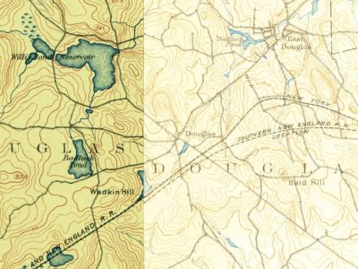

 2013
 2012
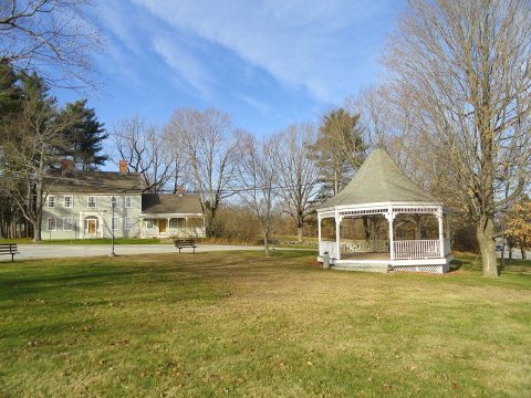 2012
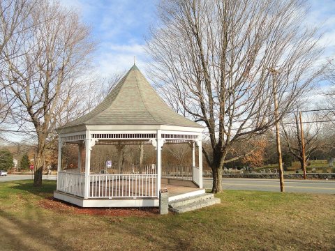 2012
 2012
 2012
 2012
 2009
 2009
 c. 2005
 c. 2000

