376 years in pictures
Census counts: 2,499 in 1790, 33,783 in 2020. The archive holds 10 old photos and papers going back to 1652 and 2 maps from 1888 on.
7 places on the National Register of Historic Places.
- 1650Dartmouth is settled
Each edition grades its towns against each other only.

Dartmouth's standout: natural-hazard risk is low. Overall it grades B−, 184th among Massachusetts's 282 graded towns. The median household earns $100K and it has 59 miles of trail. Its weakest subject is cost of living: the typical home is worth about $614K, 7.1 years of the Providence metro’s $87K median household income. History is its standout character grade: an A, better than 92% of U.S. towns, with 7 places on the National Register. Dartmouth’s trail density is 0.6 miles per square mile, below the Massachusetts town median (1.8) and near the median of U.S. towns (0.4). Dartmouth is home to University of Massachusetts-Dartmouth. Dartmouth is easier to get around on foot or by transit than 83% of U.S. towns.
Where Dartmouth beats most towns.
Census counts: 2,499 in 1790, 33,783 in 2020. The archive holds 10 old photos and papers going back to 1652 and 2 maps from 1888 on.
7 places on the National Register of Historic Places.
Dartmouth takes its name from Dartmouth in Devon, England, 3,180 miles across the Atlantic.
UKUK editionDartmouth, settled in 1650, takes its name from Dartmouth, a town in Devon, England.
Named after: each U.S. town’s Wikipedia article. Grades compare each town with towns in its own country, so they aren’t a head-to-head.
Each subject compared with towns across the country (schools within Massachusetts), ordered by how far Dartmouth is from typical.
Its grades run from A+ for hazard risk (better than 96% of comparable towns) to D for cost of living (better than 12%), so the B− overall blends very different results.
How TownRatings grades towns →
Museums, parks, gardens and other places to visit around Dartmouth. Close and well known come first.
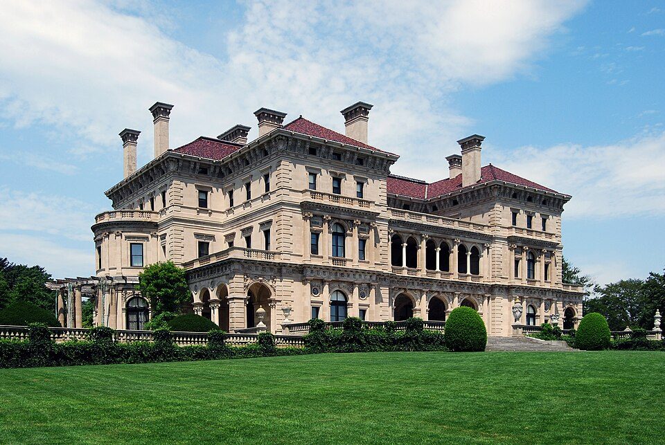
Big draw19 mi MuseumThe Breakers
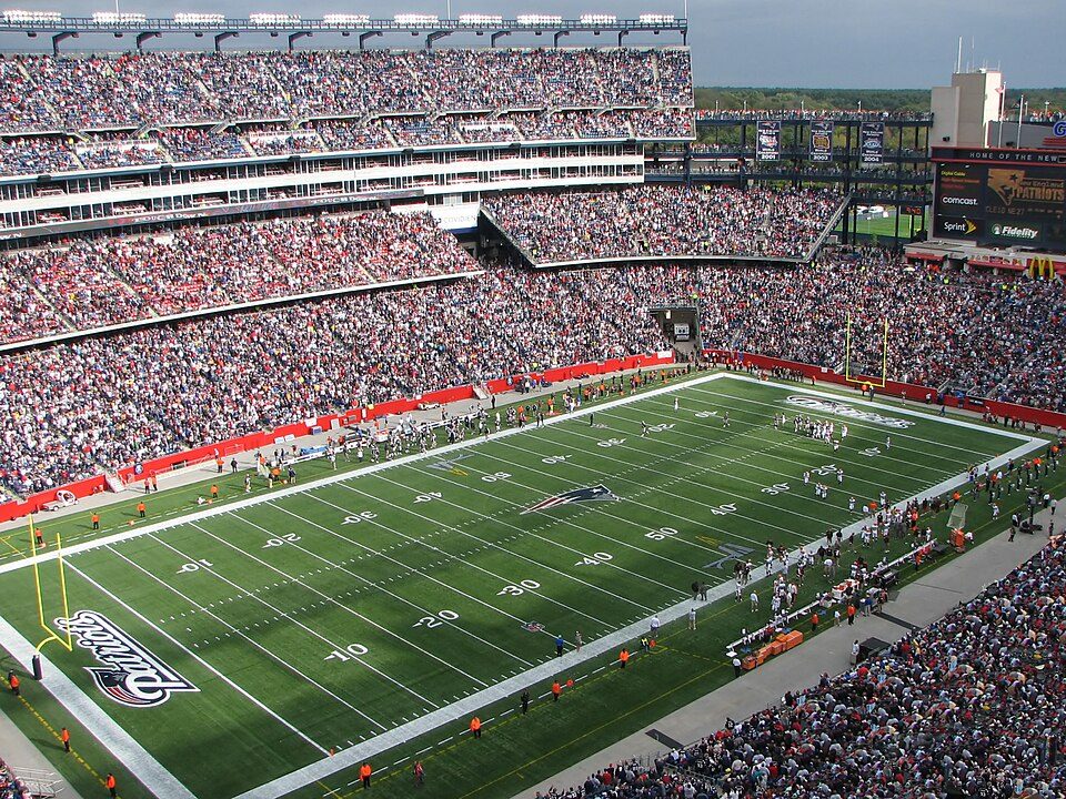
Big draw40 mi Stadium & arenaGillette Stadium
14 mi MuseumUSS Massachusetts
20 mi Ancient siteHMS Endeavour
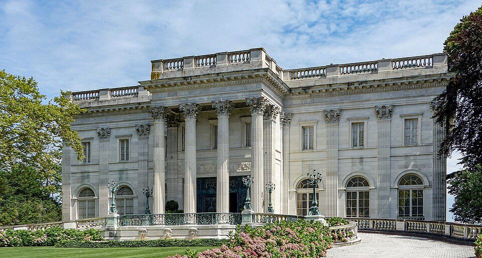
19 mi MuseumMarble House
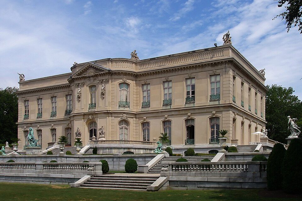
19 mi MuseumThe ElmsThe Breakers: UpstateNYer, CC BY-SA 3.0 · Gillette Stadium: Bernard Gagnon, CC BY-SA 3.0 · USS Massachusetts: USN, Public domain · HMS Endeavour: Samuel Atkins (c.1760-1810), Public domain · Marble House: [email protected], Public domain · The Elms: The original uploader was Daderot at English Wikipedia., CC BY-SA 3.0
Who provides power, water and the rest in Dartmouth, and how to reach them.
EPA SDWIS (Oct 9, 2026) · HIFLD + EIA-861 2025 · Census 2020 ZCTAs · NCES 2024–25 · registration: vote.gov, updated Nov 18, 2024.
Ordered by what stands out in Dartmouth.
Dartmouth trades workers with New Bedford and other neighbors, is safe by national standards but not by Massachusetts’s and is healthy by national standards but behind most towns in Massachusetts.
Expected storm and flood damage is lower than in 92% of U.S. communities. Since 1978, 94 flood insurance claims have been paid out in Dartmouth.
FEMA flood insurance claims · FEMA National Risk Index · OpenFEMA
Its public schools are run by the Dartmouth school district. Two of its 10 schools are below, each with why it’s listed.
| School | Level | Students | Letter |
|---|---|---|---|
| Dartmouth MiddleLargest public middle schoolGrades 6–8 | Grades 6–8 | 801 | B |
| Dartmouth HighLargest public high schoolGrades 9–12 | Grades 9–12 | 902 | A |
NCES · EDFacts · graded within MA on state tests and graduation
Within Massachusetts it is less healthy than 78% of the 279 graded towns: Massachusetts sets a high bar.
Dartmouth beats the Massachusetts average on 0 of 32 CDC measures and trails it on 5. 18% of Dartmouth adults report frequent mental distress, against 16% in Massachusetts’ towns and 17% across U.S. towns. 29% of Dartmouth adults have obesity.
| Dartmouth | Massachusetts towns | U.S. towns | |
|---|---|---|---|
| Frequent mental distress (CDC PLACES) | 18% | 16% | 17% |
| Obesity (CDC PLACES) | 29% | 28% | 35% |
| Get no exercise (CDC PLACES) | 22% | 19% | 25% |
| Feel lonely (CDC PLACES) | 34% | 33% | 33% |
| What stands out | Dartmouth | MA |
|---|---|---|
| More adults with COPD | 7% | 5.9% |
| More smokers | 13.3% | 11.3% |
| More adults with heart disease | 6.8% | 5.8% |
CDC PLACES 2025 · modeled estimates for adults · CMS · HRSA
59 miles of trail in 75 parks and preserves. The biggest place to walk is Allens Pond Wildlife Sanctuary, 536 acres with 7 miles of trail.
| Biggest places to walk | Trails | Acres |
|---|---|---|
| 1. Destruction Brook Woods | 7.2 mi | 277 |
| 2. Allens Pond Wildlife Sanctuary | 7 mi | 536 |
| 3. Ridge Hill Reserve | 5.1 mi | 180 |
Trails & parks © OpenStreetMap contributors · Conserved land: USGS PAD-US
Dartmouth has chilly, snowy winters and pleasant summers, with plenty of rain. The July high in Dartmouth is 82°F.
NOAA U.S. Climate Normals, 1991–2020
Dartmouth has about as many jobs (16,272) as working residents, but only 2,401 people both live and work here.
Most working residents leave Dartmouth for work: only 17% work in town. Since 2013, Dartmouth has added 873 jobs, to 16,272 in 2023. Dartmouth’s average trip to work is 27 minutes.
| Dartmouth | Massachusetts towns | U.S. towns | |
|---|---|---|---|
| Working residents who work in town | 17% | 9.8% | 8% |
| Median household income | $100,000 | $120,000 | $80,000 |
| Average trip to work | 27 minutes | 30 minutes | 25 minutes |
| Work from home | 12% | 18% | 11% |
Census LEHD 2023 · ACS
At 22.4 crimes per 1,000 residents a year, it reports more crime than 81% of Massachusetts’s graded towns. Reported crimes rose from 475 to 585 over the last three FBI years, a rise beyond ordinary year-to-year swings.
FBI crime data, 2025 · crimes reported to police
Children under 18 are 15% of residents (19% statewide). 39% of adults 25 and older hold a bachelor’s degree or more in Dartmouth.
| Dartmouth | Massachusetts towns | U.S. towns | |
|---|---|---|---|
| Under 18 | 15% | 20% | 22% |
| Bachelor’s degree or more, 25+ | 39% | 47% | 29% |
| Aged 65 or older | 21% | 19% | 18% |
| Median age | 42.5 years | 43.4 years | 40.5 years |
52% women, 48% men
About 94 men for every 100 women (the survey’s margin: ±1.5 points). Across Massachusetts, 51.1% of residents are women. Median age: women 44.3, men 40.7.
| Dartmouth | MA | U.S. | |
|---|---|---|---|
| Under 10 | 7.3% | 10.2% | 11.6% |
| 10 to 17 | 7.3% | 9.2% | 10.3% |
| 18 to 24 | 16.8% | 9.8% | 9.1% |
| 25 to 34 | 10% | 14% | 13.7% |
| 35 to 44 | 11.1% | 13% | 13.2% |
| 45 to 54 | 11.7% | 12.3% | 12.2% |
| 55 to 64 | 14.7% | 13.6% | 12.7% |
| 65 to 74 | 12% | 10.5% | 10.2% |
| 75 and older | 9% | 7.4% | 7% |
| No diploma | 12.4% | 8.6% | 10.4% |
| High school | 26.8% | 22.6% | 26% |
| Some college | 13.4% | 14.1% | 19.1% |
| Associate’s | 8.4% | 7.5% | 8.8% |
| Bachelor’s | 22% | 25.5% | 21.6% |
| Graduate | 17% | 21.8% | 14.1% |
U.S. Census Bureau · ACS 2020-2024 5-year estimates
Typical home values rose 5.3% in the year to September 2026.
| Dartmouth | Massachusetts towns | U.S. towns | |
|---|---|---|---|
| Median rent | $1,462 a month | $1,683 a month | $1,185 a month |
| Households that own their home | 76% | 79% | 73% |
Zillow Home Value Index · Redfin Data Center
2 within 15 miles of the center of Dartmouth
About 14 of every 100 Dartmouth residents are enrolled in college, against 8 across Massachusetts.
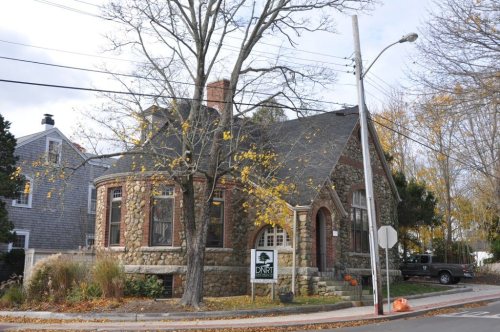
7 places in Dartmouth on the National Register of Historic Places.
10 notable people were born in Dartmouth.
Town of historical importance in the United States
Dartmouth (Massachusett: Apponeganset) is a coastal town in Bristol County, Massachusetts, United States. Old Dartmouth was the first area of Southeastern Massachusetts to be settled by Europeans in 1652, primarily English. Dartmouth is part of New England's farm coast, which consists of a chain of historic coastal villages, vineyards, and farms. June 8, 2014, marked the 350th year of Dartmouth's incorporation as a town. It is also part of the Massachusetts South Coast. The northern part of Dartmouth hosts the town's large commercial districts. The southern part of town abuts Buzzards Bay, and there are several other waterways, including Lake Noquochoke, Cornell Pond, Slocums River, Shingle…
From Wikipedia, licensed CC BY-SA 4.0 · facts via Wikidata (CC0)
6 towns share a border with Dartmouth.
| Town | MA rank | Overall | Cost | Safety | Schools | Health |
|---|---|---|---|---|---|---|
| Dartmouth | #184 | B− | D | C+ | B | B+ |
| Westport | #198 | B− | D | A− | C | B+ |
| New Bedford | #278 | D− | C− | C | D | D |
| North Westport | — | — | — | — | — | — |
| Bliss Corner | — | — | — | — | — | — |
| Smith Mills | — | — | — | — | — | — |
| Gosnold | — | — | — | — | — | — |
North Westport, Bliss Corner, Smith Mills and Gosnold aren’t graded (fewer than 1,000 residents, or not enough data). Compare Dartmouth with a neighbor →
Short answers, built from the data on this page.
Dartmouth grades B− overall, better than 55% of U.S. towns and #184 of 282 in Massachusetts. It grades B+ for health, C+ for safety and B for schools. Cost of living is its weak spot, with a D.
Massachusetts has less crime than most states, so among its own towns Dartmouth sits nearer the middle.
Yes. Cost of living, which also weighs rents, property taxes and how many households pay 30% or more of their income for housing, grades D.
10 notable people were born here, including Benjamin Tucker and Henry H. Crapo.