Cedar CrestMA
A town of 1,730.
Is Cedar Crest a good place to live?
Cedar Crest’s trail network density is 0.3 miles per square mile, where Massachusetts’ towns sit at 1.8 and U.S. towns at 0.4. The biggest park or preserve is Wharf Creek - Estes Woods, at 86 acres. We don’t grade Cedar Crest yet; the figures below are still real.
Cedar Crest lives by the ocean
Coastal flooding makes up 53% of the storm damage FEMA expects here.
- Duxbury Marsh
- Green Harbor Lots
FEMA National Risk Index · OpenFEMA · OpenStreetMap
Fenway Park and 167 more within 40 miles
Museums, parks, gardens and other places to visit around Cedar Crest. Close and well known come first.
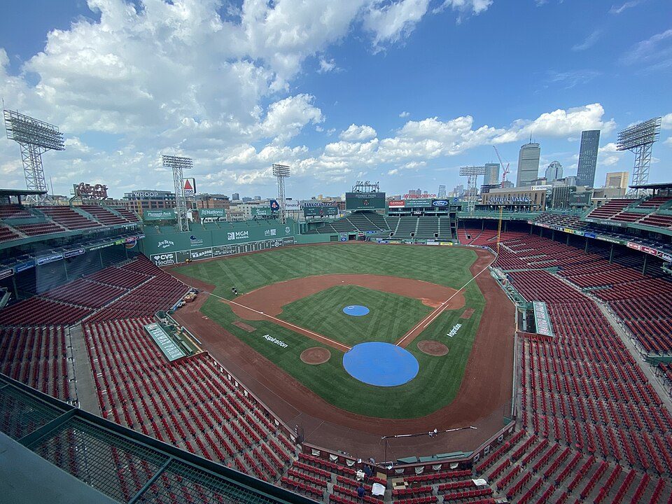 Big draw29 mi Stadium & arenaFenway Park
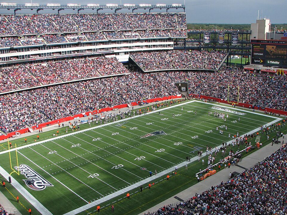 Big draw31 mi Stadium & arenaGillette Stadium
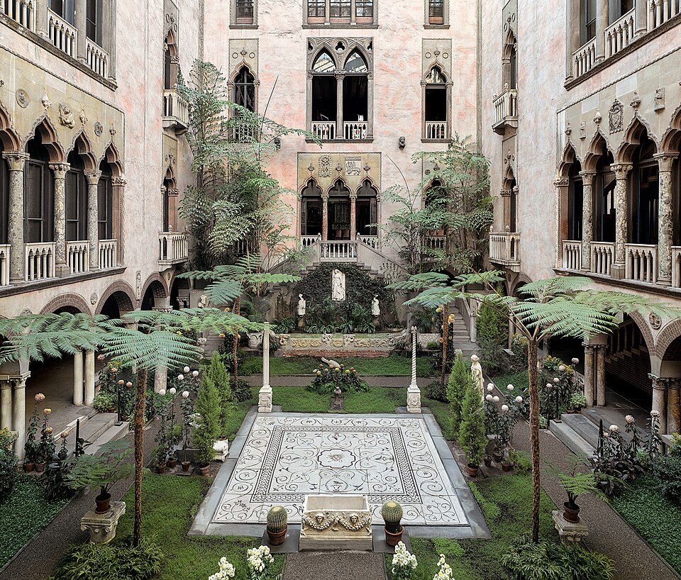 Big draw29 mi MuseumIsabella Stewart Gardner Museum
 36 mi MuseumUSS Massachusetts
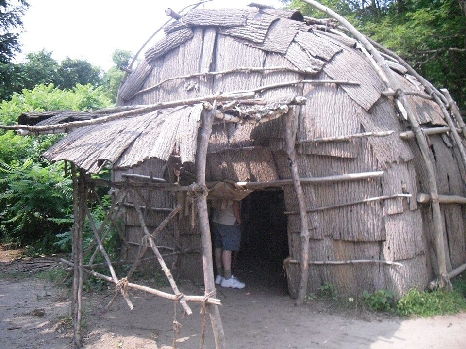 10 mi MuseumPlimoth Patuxet
 28 mi AttractionFreedom Trail
Photo credits
Fenway Park: Gatorfan252525, CC BY-SA 4.0 · Gillette Stadium: Bernard Gagnon, CC BY-SA 3.0 · Isabella Stewart Gardner Museum: Sean Dungan, CC BY-SA 4.0 · USS Massachusetts: USN, Public domain · Plimoth Patuxet: Tr!sie, CC BY-SA 3.0 · Freedom Trail: Ingfbruno, CC BY-SA 3.0


Moving to Cedar Crest: who provides what
Cedar Crest is unincorporated, so Plymouth County and regional agencies provide most services.
EPA SDWIS (Oct 9, 2026) · HIFLD + EIA-861 2025 · Census 2020 ZCTAs · NCES 2024–25 · registration: vote.gov, updated Nov 18, 2024.
The data
Ordered by what stands out in Cedar Crest.
Cedar Crest stands out in Massachusetts and nationally: the average trip to work there is longer
Employers in Cedar Crest added 48 jobs between 2013 and 2023, to 115. No town among the 284 in Massachusetts we compare has a lower share of working residents who work in town than Cedar Crest. The town’s typical household income stands at $169,000, above both Massachusetts’ towns ($120,000) and U.S. towns ($80,000). Still, for residents here, the share who live below the poverty line is 3.1%.
| Cedar Crest | Massachusetts towns | U.S. towns | |
|---|---|---|---|
| Average trip to work | 42 minutes | 30 minutes | 25 minutes |
| Median household income | $169,000 | $120,000 | $80,000 |
| Working residents who work in town | 0.7% | 9.8% | 8% |
| Below the poverty line | 3.1% | 6% | 9.6% |
Where working residents work
Census LEHD 2023 · ACS
Cedar Crest has a high natural-hazard risk, chiefly from coastal flooding
Storm and flood damage is expected to run higher than in 71% of U.S. communities. 53% of Cedar Crest’s expected losses from natural hazards come from coastal flooding, followed by inland flooding at 35%.
FEMA National Risk Index · OpenFEMA
Cedar Crest has four seasons and pleasant summers
July afternoons reach 82°, January nights drop to 22° and about 38 inches of snow falls in a winter.
Typical low → high °F
NOAA U.S. Climate Normals, 1991–2020
14.3% of the land in Cedar Crest is protected from building
0.5 miles of trail in 6 parks and preserves. Parks and preserves in Cedar Crest: 6, covering 199 acres.
| Biggest places to walk | Trails | Acres |
|---|---|---|
| 1. Wharf Creek - Estes Woods | — | 86 |
| 2. Webster's Wilderness | — | 53 |
| 3. Cut River Meadow | — | 29 |
Trails & parks © OpenStreetMap contributors · Conserved land: USGS PAD-US
How healthy Cedar Crest is
Among adults in Cedar Crest, 14% say their health is fair or poor. The town beats the Massachusetts average on 9 of 32 CDC measures and trails it on 1. 18% of adults in Cedar Crest get no exercise outside work; 83% had a checkup this year.
| Cedar Crest | Massachusetts towns | U.S. towns | |
|---|---|---|---|
| Sleep under 7 hours (CDC PLACES) | 31% | 33% | 36% |
| Get no exercise (CDC PLACES) | 18% | 19% | 25% |
| Yearly checkup (CDC PLACES) | 83% | 82% | 79% |
| Binge drink (CDC PLACES) | 18% | 17% | 16% |
| What stands out | Cedar Crest | MA |
|---|---|---|
| Fewer uninsured adults | 3.2% | 5.2% |
| Fewer adults facing food insecurity | 8.2% | 12.4% |
| More adults who have had cancer | 10.5% | 8.5% |
CDC PLACES 2025 · modeled estimates for adults · CMS · HRSA
Zillow Home Value Index · Redfin Data Center
Everything we know about Cedar Crest
Colleges nearby
None within 15 miles of Cedar Crest; the nearest are
About 2 of every 100 Cedar Crest residents are enrolled in college, against 8 across Massachusetts.
99% of working residents leave Cedar Crest for work
Where Cedar Crest’s working residents go each day. Line width shows the share.
Census LEHD 2023
About Cedar Crest
Census-designated place in Massachusetts, United States
Cedar Crest is a census-designated place (CDP) in the town of Marshfield, Plymouth County, Massachusetts, United States. It is named for a hill on the north side of Careswell Street. It is bordered to the south by the town of Duxbury and to the southeast by the community of Green Harbor. As of the 2020 census, Cedar Crest had a population of 2,230. Cedar Crest was first listed as a CDP prior to the 2020 census. At the 2010 census, Cedar Crest and neighboring Green Harbor were part of a single CDP known as Green Harbor-Cedar Crest.
From Wikipedia, licensed CC BY-SA 4.0 · facts via Wikidata (CC0)
- Area
- 1.5 sq mi
- Elevation
- 16 ft
Cedar Crest’s neighbors
2 towns share a border with Cedar Crest.
| Town | MA rank | Overall | Cost | Safety | Schools | Health |
|---|---|---|---|---|---|---|
| Cedar Crest | — | — | — | — | — | — |
| Green Harbor | — | — | — | — | — | — |
| Ocean Bluff-Brant Rock | — | — | — | — | — | — |
Cedar Crest, Green Harbor and Ocean Bluff-Brant Rock aren’t graded (fewer than 1,000 residents, or not enough data). Compare Cedar Crest with a neighbor →
Questions about Cedar Crest
Short answers, built from the data on this page.
Is Cedar Crest, MA a good place to live?
We don’t grade Cedar Crest yet; the figures below are still real.